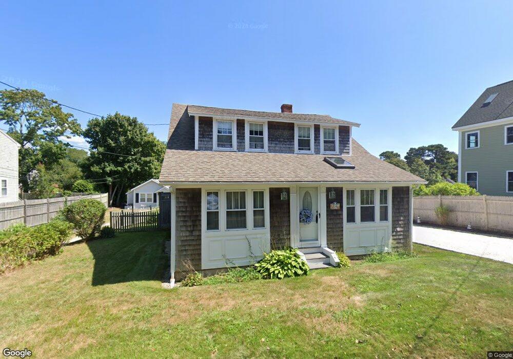
34 Pleasant St Unit 1 Dennis Port, MA 2639
Dennis Port NeighborhoodEstimated Value: $550,000 - $776,000
4
Beds
3
Baths
1,406
Sq Ft
$474/Sq Ft
Est. Value
About This Home
This home is located at 34 Pleasant St Unit 1, Dennis Port, MA 2639 and is currently estimated at $666,915, approximately $474 per square foot. 34 Pleasant St Unit 1 is a home located in Barnstable County with nearby schools including Dennis-Yarmouth Regional High School and St. Pius X. School.
Ownership History
Date
Name
Owned For
Owner Type
Purchase Details
Closed on
Nov 29, 1996
Sold by
Dinnan Joseph A and Dinnan Kathryn M
Bought by
Peterson Donald R and Peterson Kathleen A
Current Estimated Value
Home Financials for this Owner
Home Financials are based on the most recent Mortgage that was taken out on this home.
Original Mortgage
$52,500
Interest Rate
7.82%
Mortgage Type
Purchase Money Mortgage
Create a Home Valuation Report for This Property
The Home Valuation Report is an in-depth analysis detailing your home's value as well as a comparison with similar homes in the area
Home Values in the Area
Average Home Value in this Area
Purchase History
| Date | Buyer | Sale Price | Title Company |
|---|---|---|---|
| Peterson Donald R | $87,500 | -- |
Source: Public Records
Mortgage History
| Date | Status | Borrower | Loan Amount |
|---|---|---|---|
| Open | Peterson Donald R | $190,500 | |
| Closed | Peterson Donald R | $52,500 |
Source: Public Records
Tax History Compared to Growth
Tax History
| Year | Tax Paid | Tax Assessment Tax Assessment Total Assessment is a certain percentage of the fair market value that is determined by local assessors to be the total taxable value of land and additions on the property. | Land | Improvement |
|---|---|---|---|---|
| 2025 | $2,355 | $543,900 | $0 | $543,900 |
| 2024 | $2,224 | $506,700 | $0 | $506,700 |
| 2023 | $1,940 | $415,400 | $0 | $415,400 |
| 2022 | $1,876 | $335,000 | $0 | $335,000 |
| 2021 | $1,555 | $257,800 | $0 | $257,800 |
| 2020 | $1,535 | $251,700 | $0 | $251,700 |
| 2019 | $1,495 | $242,300 | $0 | $242,300 |
| 2018 | $1,465 | $231,000 | $0 | $231,000 |
| 2017 | $1,421 | $231,000 | $0 | $231,000 |
| 2016 | $1,687 | $258,400 | $0 | $258,400 |
| 2015 | $769 | $120,200 | $0 | $120,200 |
| 2014 | $639 | $100,600 | $0 | $100,600 |
Source: Public Records
Map
Nearby Homes
- 26 Manning Rd
- 159 Center St Unit 22
- 12 Cross St
- 73 Division St
- 221 Upper County Rd Unit 2A
- 221 Upper County Rd Unit 2A
- 11 Ocean Park W
- 148 Belmont Rd
- 10 Candlewood Ln Unit 2-1
- 102 Sea St
- 12 Candlewood Ln Unit 2-9
- 47 Telegraph Rd Unit 1
- 402 Old Wharf Rd
- 402 Old Wharf Rd
- 3 Fairbanks Dr
- 9 Chase Ave Unit 6
- 40 Willow St
- 9 Country Ln
- 405 Old Wharf Rd Unit B204
- 405 Old Wharf Rd Unit B204
- 34 Pleasant St
- 34 Pleasant St Unit 2
- 34 Pleasant St Unit 3
- 38 Pleasant St
- 30 Pleasant St
- 42 Pleasant St
- 29 Pleasant St
- 23 Pleasant St
- 37 Pleasant St
- 22 Pleasant St
- 6 Heintz Rd
- 126 Depot St
- 27 Pleasant St
- 39 Pleasant St
- 10 Heintz Rd
- 15 Pleasant St
- 46 Pleasant St
- 41 Pleasant St
- 122 Depot St
- 132 Depot St Unit 2