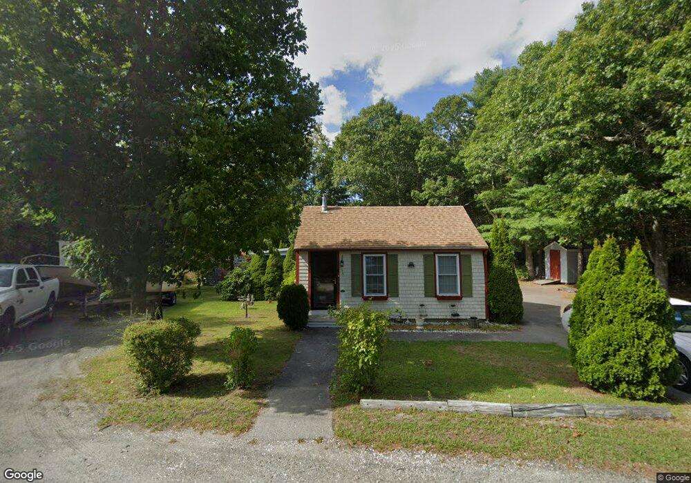
34 Red Brook Rd Bourne, MA 02532
Estimated Value: $406,804 - $466,000
2
Beds
2
Baths
924
Sq Ft
$476/Sq Ft
Est. Value
About This Home
This home is located at 34 Red Brook Rd, Bourne, MA 02532 and is currently estimated at $439,701, approximately $475 per square foot. 34 Red Brook Rd is a home.
Ownership History
Date
Name
Owned For
Owner Type
Purchase Details
Closed on
Jul 16, 2004
Sold by
Morgan Matthew J
Bought by
Deane Stanley R and Deane Betty A
Current Estimated Value
Home Financials for this Owner
Home Financials are based on the most recent Mortgage that was taken out on this home.
Original Mortgage
$160,000
Outstanding Balance
$80,090
Interest Rate
6.25%
Mortgage Type
Purchase Money Mortgage
Estimated Equity
$359,611
Purchase Details
Closed on
Jan 24, 2002
Sold by
Hayes Francesca
Bought by
Morgan Matthew J
Purchase Details
Closed on
Oct 21, 1999
Sold by
Higginsbotham Carol S
Bought by
Hayes Francesca
Create a Home Valuation Report for This Property
The Home Valuation Report is an in-depth analysis detailing your home's value as well as a comparison with similar homes in the area
Purchase History
| Date | Buyer | Sale Price | Title Company |
|---|---|---|---|
| Deane Stanley R | $230,000 | -- | |
| Deane Stanley R | $230,000 | -- | |
| Morgan Matthew J | $139,900 | -- | |
| Morgan Matthew J | $139,900 | -- | |
| Hayes Francesca | $91,500 | -- | |
| Hayes Francesca | $91,500 | -- |
Source: Public Records
Mortgage History
| Date | Status | Borrower | Loan Amount |
|---|---|---|---|
| Open | Hayes Francesca | $160,000 | |
| Closed | Hayes Francesca | $160,000 |
Source: Public Records
Tax History
| Year | Tax Paid | Tax Assessment Tax Assessment Total Assessment is a certain percentage of the fair market value that is determined by local assessors to be the total taxable value of land and additions on the property. | Land | Improvement |
|---|---|---|---|---|
| 2025 | $3,328 | $303,100 | $111,700 | $191,400 |
| 2024 | $3,370 | $288,500 | $87,900 | $200,600 |
| 2023 | $3,035 | $262,600 | $79,800 | $182,800 |
| 2022 | $3,035 | $222,800 | $79,800 | $143,000 |
| 2021 | $2,841 | $202,900 | $79,800 | $123,100 |
| 2020 | $2,710 | $197,700 | $79,800 | $117,900 |
| 2019 | $2,561 | $188,900 | $79,000 | $109,900 |
| 2018 | $2,423 | $172,600 | $79,000 | $93,600 |
| 2017 | $2,413 | $172,600 | $79,000 | $93,600 |
| 2016 | $2,284 | $162,100 | $78,700 | $83,400 |
| 2015 | $2,192 | $160,000 | $78,700 | $81,300 |
| 2014 | $2,120 | $159,500 | $74,800 | $84,700 |
Source: Public Records
Map
Nearby Homes
- 67 Algonquin St
- 60 Martin St
- 3132 Cranberry Hwy Unit 59
- 29 Wenonah Rd
- 92 Choctaw Dr
- 29 Wenonah Rd
- 13 Bay Pointe Drive Extension
- 13 Bay Pointe Drive Extension Unit 13
- 22 Long Neck Rd
- 3 Fairway Dr Unit F
- 1 Downey St
- 11 Buzzards Bay Dr
- 56 Rip Van Winkle Way
- 29 Walnut St
- 4 22nd St
- 3040 Cranberry Hwy Unit 41
- 3040 Cranberry Hwy Unit 16
- 3040 Cranberry Hwy Unit 32
- 11 22nd St
- Lot 108 21st St
- 34 Red Brook Rd Unit 1
- 30 Red Brook Rd
- 25 Red Brook Rd
- 27 Red Brook Rd
- 60 Algonquin St
- 29 Red Brook Rd
- 23 Red Brook Rd
- 23 Red Brook Rd
- 35 Arrowhead Dr
- 92 Martin St
- 31 Red Brook Rd
- 32 Arrowhead Dr
- 90 Martin St
- 32 Arrowhead Dr
- 30 Arrowhead Dr
- 28 Red Brook Rd
- 88 Martin St
- 33 Red Brook Rd
- 91 Martin St
- 37 Red Brook Rd
Your Personal Tour Guide
Ask me questions while you tour the home.