34 Reder Rd Northfield, CT 06778
Estimated Value: $329,789 - $423,000
3
Beds
1
Bath
1,165
Sq Ft
$319/Sq Ft
Est. Value
About This Home
This home is located at 34 Reder Rd, Northfield, CT 06778 and is currently estimated at $371,197, approximately $318 per square foot. 34 Reder Rd is a home located in Litchfield County with nearby schools including Center School, Litchfield Intermediate School, and Litchfield High School.
Ownership History
Date
Name
Owned For
Owner Type
Purchase Details
Closed on
Jul 8, 1996
Sold by
Brewer Alan and Brewre Corinne
Bought by
Neddermann Sharon
Current Estimated Value
Home Financials for this Owner
Home Financials are based on the most recent Mortgage that was taken out on this home.
Original Mortgage
$125,100
Interest Rate
7.98%
Mortgage Type
Unknown
Create a Home Valuation Report for This Property
The Home Valuation Report is an in-depth analysis detailing your home's value as well as a comparison with similar homes in the area
Home Values in the Area
Average Home Value in this Area
Purchase History
| Date | Buyer | Sale Price | Title Company |
|---|---|---|---|
| Neddermann Sharon | $126,000 | -- |
Source: Public Records
Mortgage History
| Date | Status | Borrower | Loan Amount |
|---|---|---|---|
| Open | Neddermann Sharon | $145,000 | |
| Closed | Neddermann Sharon | $121,600 | |
| Closed | Neddermann Sharon | $125,100 | |
| Previous Owner | Neddermann Sharon | $127,600 |
Source: Public Records
Tax History
| Year | Tax Paid | Tax Assessment Tax Assessment Total Assessment is a certain percentage of the fair market value that is determined by local assessors to be the total taxable value of land and additions on the property. | Land | Improvement |
|---|---|---|---|---|
| 2025 | $3,485 | $174,240 | $52,780 | $121,460 |
| 2024 | $3,223 | $174,240 | $52,780 | $121,460 |
| 2023 | $3,078 | $115,270 | $45,090 | $70,180 |
| 2022 | $3,089 | $115,270 | $45,090 | $70,180 |
| 2021 | $3,181 | $115,270 | $45,090 | $70,180 |
| 2020 | $3,193 | $115,270 | $45,090 | $70,180 |
| 2019 | $3,251 | $115,270 | $45,090 | $70,180 |
| 2018 | $3,316 | $119,710 | $48,410 | $71,300 |
| 2017 | $3,304 | $119,710 | $48,410 | $71,300 |
| 2016 | $3,196 | $119,710 | $48,410 | $71,300 |
| 2015 | -- | $119,710 | $48,410 | $71,300 |
| 2014 | $3,017 | $119,710 | $48,410 | $71,300 |
Source: Public Records
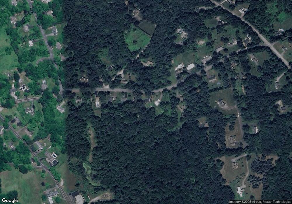
Map
Nearby Homes
- 0 Reder Rd Unit 24133780
- 0 Decker Dr Unit 24148478
- 184 Campville Hill Rd
- 73 Mcbride Rd
- 115 Mcbride Rd
- 604 Wildcat Hill Rd
- 31 Main St
- Lot 2 Birch Hill Rd
- 94 Atwood Heights
- 67 E Litchfield Rd S
- 544 Litchfield Rd
- 3 Ellen Ln
- 0 Clearview Ave Unit 24158105
- 68 Thomaston Rd
- 120 Hotchkiss Ave
- 1092 Hickory Hill Rd
- 531 Hickory Hill Rd
- 11 W Chestnut Hill Rd
- 415 South St
- 184 Fern Ave
Your Personal Tour Guide
Ask me questions while you tour the home.