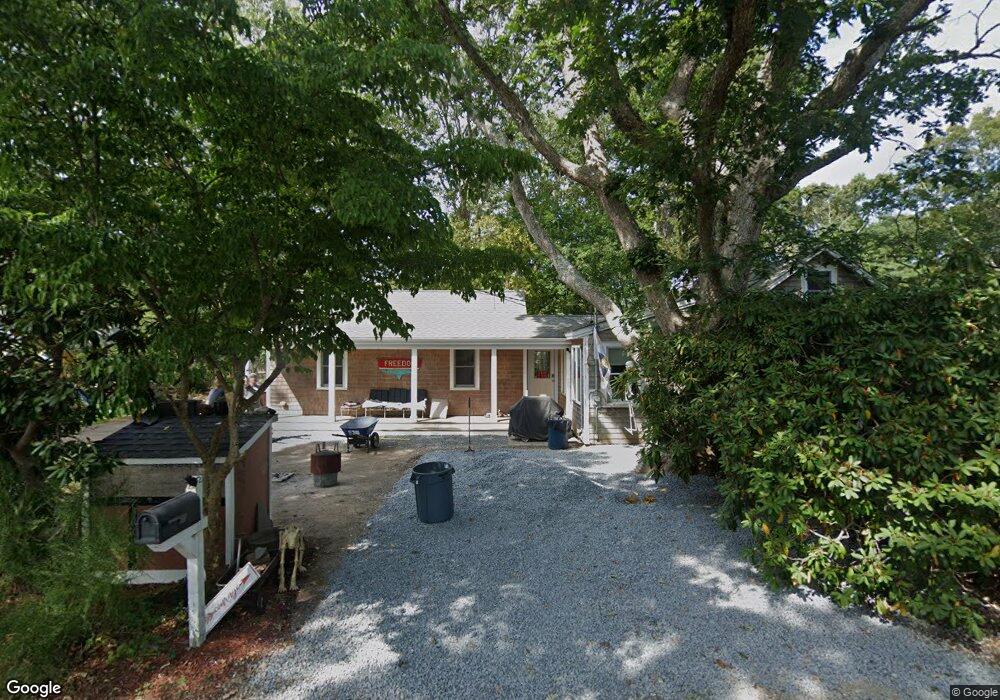
34 Riverside Rd Mashpee, MA 02649
Seconsett Island NeighborhoodEstimated Value: $737,000 - $854,000
About This Home
This home is located at 34 Riverside Rd, Mashpee, MA 02649 and is currently estimated at $790,360, approximately $636 per square foot. 34 Riverside Rd is a home located in Barnstable County with nearby schools including Kenneth C. Coombs School, Quashnet School, and Mashpee Middle School.
Ownership History
We collect this data history from publicly available records. To have your information removed, we recommend requesting removal directly through your county’s website.
Purchase Details
Home Financials for this Owner
Home Financials are based on the most recent Mortgage that was taken out on this home.Purchase Details
Home Values in the Area
Average Home Value in this Area
Purchase History
We collect this data history from publicly available records. To have your information removed, we recommend requesting removal directly through your county’s website.
| Date | Buyer | Sale Price | Title Company |
|---|---|---|---|
| -- | -- | ||
| $50,000 | -- | ||
| $50,000 | -- |
Mortgage History
We collect this data history from publicly available records. To have your information removed, we recommend requesting removal directly through your county’s website.
| Date | Status | Borrower | Loan Amount |
|---|---|---|---|
| Open | $125,000 |
Tax History
We collect this data history from publicly available records. To have your information removed, we recommend requesting removal directly through your county’s website.
| Year | Tax Paid | Tax Assessment Tax Assessment Total Assessment is a certain percentage of the fair market value that is determined by local assessors to be the total taxable value of land and additions on the property. | Land | Improvement |
|---|---|---|---|---|
| 2025 | $4,368 | $659,800 | $351,900 | $307,900 |
| 2024 | $3,966 | $616,800 | $319,900 | $296,900 |
| 2023 | $3,666 | $522,900 | $281,200 | $241,700 |
| 2022 | $3,489 | $427,100 | $228,600 | $198,500 |
| 2021 | $3,294 | $363,200 | $205,900 | $157,300 |
| 2020 | $3,195 | $351,500 | $198,100 | $153,400 |
| 2019 | $2,986 | $329,900 | $214,600 | $115,300 |
| 2018 | $2,481 | $278,100 | $214,600 | $63,500 |
| 2017 | $2,501 | $272,100 | $214,600 | $57,500 |
| 2016 | $2,457 | $265,900 | $214,600 | $51,300 |
| 2015 | $2,400 | $263,500 | $214,600 | $48,900 |
| 2014 | $2,154 | $229,400 | $181,100 | $48,300 |
Map
- 357 Monomoscoy Rd
- 41 Seconsett Island Rd
- 379 Monomoscoy Rd
- 389 Monomoscoy Rd
- 24 Seconsett Point Rd
- 67 Whippoorwill Cir
- 79 Neshobe Rd
- 50 Topping Lift
- 128 Whippoorwill Cir
- 197 Monomoscoy Rd
- 43 Neshobe Rd
- 183 Monomoscoy Rd
- 26 Driftwood Cir
- 72 Bayshore Dr
- 5 Tide Run
- 381 Great Oak Rd Unit 9
- 35 Bayshore Dr
- 100 Mid-Iron Way Unit 7027
- 72 Walton Heath Way
- 5 Rivers View Rd
Ask me questions while you tour the home.