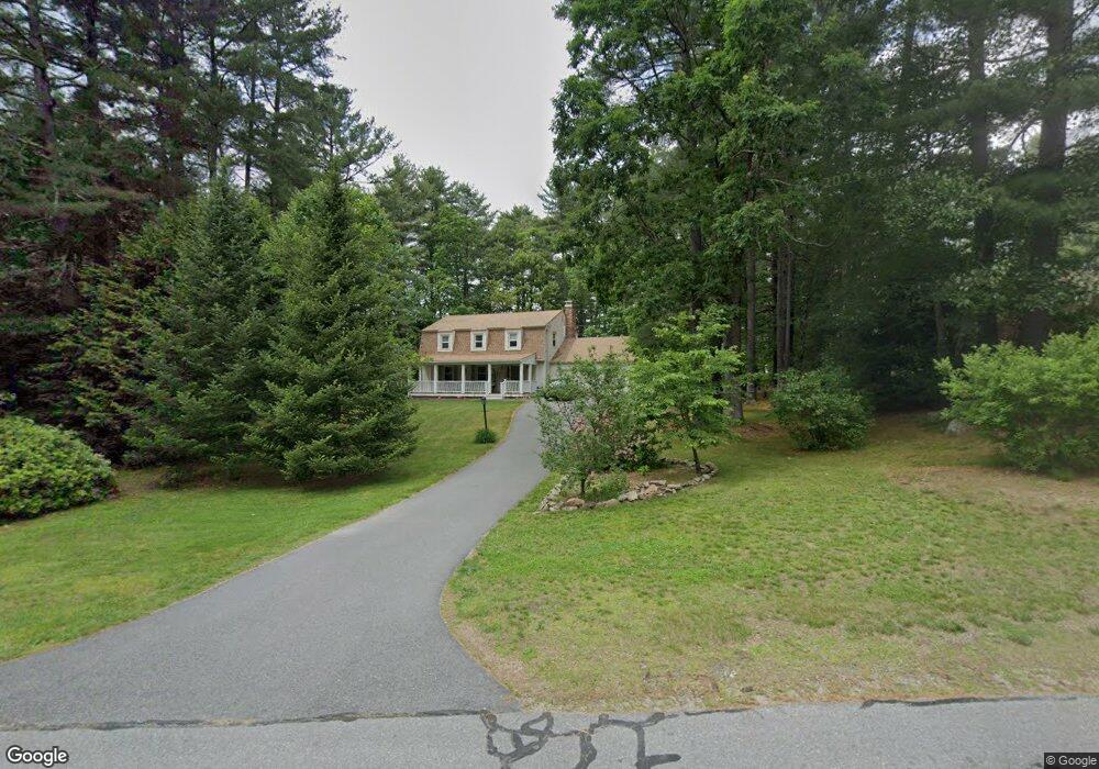
34 Ross Dr Londonderry, NH 03053
Estimated Value: $609,939 - $666,000
3
Beds
3
Baths
2,444
Sq Ft
$264/Sq Ft
Est. Value
About This Home
This home is located at 34 Ross Dr, Londonderry, NH 03053 and is currently estimated at $646,235, approximately $264 per square foot. 34 Ross Dr is a home located in Rockingham County with nearby schools including Londonderry Middle School, Londonderry Senior High School, and Southern New Hampshire Montessori Academy.
Ownership History
Date
Name
Owned For
Owner Type
Purchase Details
Closed on
Dec 28, 2009
Sold by
Morrison Cynthia M
Bought by
Hatem Thomas D
Current Estimated Value
Home Financials for this Owner
Home Financials are based on the most recent Mortgage that was taken out on this home.
Original Mortgage
$269,993
Interest Rate
4.92%
Purchase Details
Closed on
Jun 1, 1999
Sold by
Trevorrow Arthur H and Trevorrow Justina E
Bought by
Morrison Cynthia M and Morrison Jeffrey N
Create a Home Valuation Report for This Property
The Home Valuation Report is an in-depth analysis detailing your home's value as well as a comparison with similar homes in the area
Home Values in the Area
Average Home Value in this Area
Purchase History
| Date | Buyer | Sale Price | Title Company |
|---|---|---|---|
| Hatem Thomas D | $275,000 | -- | |
| Morrison Cynthia M | $167,900 | -- |
Source: Public Records
Mortgage History
| Date | Status | Borrower | Loan Amount |
|---|---|---|---|
| Open | Morrison Cynthia M | $256,000 | |
| Closed | Morrison Cynthia M | $269,993 | |
| Previous Owner | Morrison Cynthia M | $242,350 | |
| Previous Owner | Morrison Cynthia M | $247,000 |
Source: Public Records
Tax History Compared to Growth
Tax History
| Year | Tax Paid | Tax Assessment Tax Assessment Total Assessment is a certain percentage of the fair market value that is determined by local assessors to be the total taxable value of land and additions on the property. | Land | Improvement |
|---|---|---|---|---|
| 2024 | $8,632 | $534,800 | $199,900 | $334,900 |
| 2023 | $8,370 | $534,800 | $199,900 | $334,900 |
| 2022 | $7,787 | $421,400 | $149,800 | $271,600 |
| 2021 | $7,685 | $418,100 | $149,800 | $268,300 |
| 2020 | $7,469 | $371,400 | $121,100 | $250,300 |
| 2019 | $7,201 | $371,400 | $121,100 | $250,300 |
| 2018 | $6,518 | $299,000 | $100,200 | $198,800 |
| 2017 | $6,461 | $299,000 | $100,200 | $198,800 |
| 2016 | $6,429 | $299,000 | $100,200 | $198,800 |
| 2015 | $6,285 | $299,000 | $100,200 | $198,800 |
| 2014 | $6,306 | $299,000 | $100,200 | $198,800 |
| 2011 | -- | $302,600 | $100,200 | $202,400 |
Source: Public Records
Map
Nearby Homes
- 12 Morrison Dr
- 14 Reed St
- 5 Elise Ave Unit Lot 94
- 3 Elise Ave Unit 95
- 14 Elise Ave Unit 7
- 12 Elise Ave Unit 6
- 14 Mohawk Dr
- 8 Elise Ave Unit Lot 4
- 7 Elise Ave Unit Lot 93
- 36 Elise Ave Unit Lot 18
- 1 Elise Ave Unit Lot 96
- 24 Sheffield Way
- 40 Elise Ave Unit Lot 20
- 83 Beech Terrace
- 74 Boulder Dr Unit 74
- 13 Gamache Rd
- 111 Winterwood Dr
- 11 Midridge Cir Unit 116
- 47 Winding Pond Rd
- 27 Midridge Cir
- 32 Ross Dr
- 45 Tokanel Dr
- 61 Morrison Dr Unit 61
- 59 Morrison Dr Unit 22
- 31 Ross Dr
- 57 Morrison Dr Unit 23
- 57 Morrison Dr
- 63 Morrison Dr Unit 20
- 63 Morrison Dr Unit 10
- 30 Ross Dr
- 29 Ross Dr
- 55 Morrison Dr Unit 55
- 55 Morrison Dr
- 55 Morrison Dr Unit 24
- 43 Tokanel Dr
- 195 Capitol Hill Dr
- 195 Capitol Hill Dr Unit N 195
- 53 Morrison Dr Unit 25
- 65 Morrison Dr Unit 65
- 32 Nevins Dr Unit 17