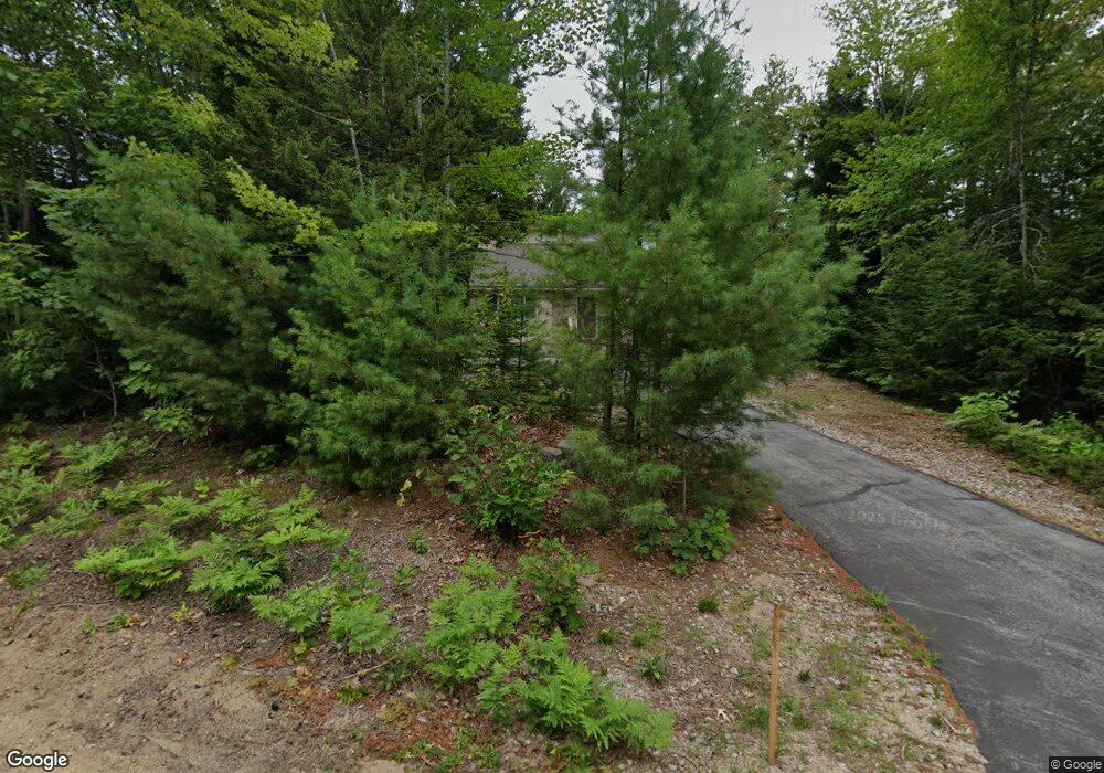
34 Table Rock Rd Bartlett, NH 03812
Estimated Value: $523,766 - $1,395,000
3
Beds
4
Baths
1,654
Sq Ft
$513/Sq Ft
Est. Value
About This Home
This home is located at 34 Table Rock Rd, Bartlett, NH 03812 and is currently estimated at $847,692, approximately $512 per square foot. 34 Table Rock Rd is a home with nearby schools including Josiah Bartlett Elementary School.
Ownership History
Date
Name
Owned For
Owner Type
Purchase Details
Closed on
Oct 23, 2018
Sold by
Desjardins Denis M and Desjarsdins Karen E
Bought by
Desjardins Ft
Current Estimated Value
Purchase Details
Closed on
Feb 7, 2003
Sold by
Goodwin Richard S and Goodwin Carolyn H
Bought by
Desjardins Denis M and Desjardins Karen E
Home Financials for this Owner
Home Financials are based on the most recent Mortgage that was taken out on this home.
Original Mortgage
$53,000
Interest Rate
5.99%
Create a Home Valuation Report for This Property
The Home Valuation Report is an in-depth analysis detailing your home's value as well as a comparison with similar homes in the area
Home Values in the Area
Average Home Value in this Area
Purchase History
| Date | Buyer | Sale Price | Title Company |
|---|---|---|---|
| Desjardins Ft | -- | -- | |
| Desjardins Denis M | $71,600 | -- |
Source: Public Records
Mortgage History
| Date | Status | Borrower | Loan Amount |
|---|---|---|---|
| Previous Owner | Desjardins Denis M | $53,000 |
Source: Public Records
Tax History
| Year | Tax Paid | Tax Assessment Tax Assessment Total Assessment is a certain percentage of the fair market value that is determined by local assessors to be the total taxable value of land and additions on the property. | Land | Improvement |
|---|---|---|---|---|
| 2024 | $2,557 | $458,200 | $185,000 | $273,200 |
| 2023 | $2,364 | $458,200 | $185,000 | $273,200 |
| 2022 | $2,277 | $458,200 | $185,000 | $273,200 |
| 2021 | $2,622 | $275,100 | $146,300 | $128,800 |
| 2020 | $2,657 | $275,100 | $146,300 | $128,800 |
| 2019 | $2,569 | $275,100 | $146,300 | $128,800 |
| 2018 | $2,512 | $275,100 | $146,300 | $128,800 |
| 2016 | $2,167 | $228,100 | $78,500 | $149,600 |
| 2015 | $2,132 | $223,500 | $78,500 | $145,000 |
| 2014 | $2,166 | $221,200 | $78,500 | $142,700 |
| 2010 | $2,575 | $281,400 | $131,300 | $150,100 |
Source: Public Records
Map
Nearby Homes
- 125 Parker Ridge Rd
- 30 Parker Ridge Rd
- F4 Cave Mountain Rd
- 83 Parker Ridge Rd
- 0 U S 302 Unit 1 and 2 5003976
- 1395 U S 302
- 70 River St
- 31 Mountainside at Attitash
- 478 Rolling Ridge Rd
- 00 US Route 302 Unit L00
- 4 Bear Village Rd
- 00 Tall Woods Loop Unit 9
- 8 River Run Dr Unit T
- 8 River Run Dr Unit H
- 1 River Run Dr Unit Week 43 - Oct. 25-No
- 1 River Run Rd Unit 1-O
- 9 River Run Dr Unit 9I
- 9 River Run Dr
- 18 Seasons at Attitash Rd
- 16 Seasons at Attitash Rd Unit E
- 36 Table Rock Rd
- 37 Table Rock Rd
- 39 Table Rock Rd
- 29 Table Rock Rd
- 31 Table Rock Rd
- 30 Table Rock Rd
- 38 Table Rock Rd
- 38 Table Rock Rd
- 23 Table Rock Rd
- 0 Table Rock Rd
- 28 Table Rock Rd
- 17 Table Rock Rd
- 16 Table Rock Rd
- 25 Table Rock Rd
- Lot C28 Stanton Farm Unit C28
- Lot C28 Stanton Farm
- 15 Table Rock Rd
- 173 Stanton Farm Rd
- 173 Stanton Farm Rd
- 167 Stanton Farm Rd
Your Personal Tour Guide
Ask me questions while you tour the home.