34 Twin Maple Rd Bolton, MA 01740
Estimated Value: $1,107,000 - $1,392,000
4
Beds
3
Baths
3,703
Sq Ft
$330/Sq Ft
Est. Value
About This Home
This home is located at 34 Twin Maple Rd, Bolton, MA 01740 and is currently estimated at $1,220,547, approximately $329 per square foot. 34 Twin Maple Rd is a home located in Worcester County with nearby schools including Florence Sawyer School and Nashoba Regional High School.
Ownership History
Date
Name
Owned For
Owner Type
Purchase Details
Closed on
Jun 1, 1995
Sold by
Nb Hudson
Bought by
Kane Michael W and Kane Pamela P
Current Estimated Value
Create a Home Valuation Report for This Property
The Home Valuation Report is an in-depth analysis detailing your home's value as well as a comparison with similar homes in the area
Home Values in the Area
Average Home Value in this Area
Purchase History
| Date | Buyer | Sale Price | Title Company |
|---|---|---|---|
| Kane Michael W | $70,000 | -- |
Source: Public Records
Mortgage History
| Date | Status | Borrower | Loan Amount |
|---|---|---|---|
| Open | Kane Michael W | $50,000 | |
| Open | Kane Michael W | $293,500 |
Source: Public Records
Tax History Compared to Growth
Tax History
| Year | Tax Paid | Tax Assessment Tax Assessment Total Assessment is a certain percentage of the fair market value that is determined by local assessors to be the total taxable value of land and additions on the property. | Land | Improvement |
|---|---|---|---|---|
| 2025 | $19,271 | $1,159,500 | $273,200 | $886,300 |
| 2024 | $18,377 | $1,130,200 | $263,200 | $867,000 |
| 2023 | $17,026 | $972,900 | $264,800 | $708,100 |
| 2022 | $16,979 | $854,500 | $244,800 | $609,700 |
| 2021 | $16,108 | $772,200 | $244,800 | $527,400 |
| 2020 | $17,232 | $845,100 | $244,800 | $600,300 |
| 2019 | $16,497 | $805,900 | $244,800 | $561,100 |
| 2018 | $16,617 | $804,300 | $233,200 | $571,100 |
| 2017 | $16,154 | $762,000 | $228,200 | $533,800 |
| 2016 | $15,898 | $760,300 | $213,200 | $547,100 |
| 2015 | $15,997 | $762,500 | $218,200 | $544,300 |
| 2014 | $15,542 | $733,100 | $223,200 | $509,900 |
Source: Public Records
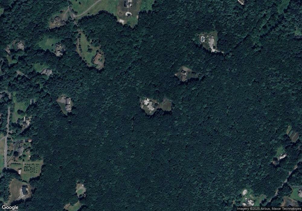
Map
Nearby Homes
- 90 Harvard Rd
- 3 Pondside Ln Unit 3
- 11 Pondside Ln Unit 11
- 347 Green Rd
- 291 Harvard Rd
- 871 Main St
- 23 Harvard Rd
- 68 Old Harvard Rd
- 2 Green Rd
- 3 Old Harvard Rd
- 1A Sanders Ln
- 6A Sanders Ln
- 11 Mallard Ln Unit 8
- 1 Mallard Ln Unit 1
- 720 Main St
- 0 Wattaquadock Hill Rd
- 15 Woodside Dr
- 1 Green Rd
- 54 Main St
- 114 Fox Run Rd