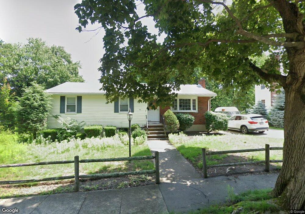
34 Unity St Quincy, MA 02169
Estimated Value: $616,338 - $766,000
3
Beds
1
Bath
1,026
Sq Ft
$674/Sq Ft
Est. Value
About This Home
This home is located at 34 Unity St, Quincy, MA 02169 and is currently estimated at $691,335, approximately $673 per square foot. 34 Unity St is a home located in Norfolk County with nearby schools including Montclair Elementary School, Atlantic Middle School, and North Quincy High School.
Create a Home Valuation Report for This Property
The Home Valuation Report is an in-depth analysis detailing your home's value as well as a comparison with similar homes in the area
Tax History
| Year | Tax Paid | Tax Assessment Tax Assessment Total Assessment is a certain percentage of the fair market value that is determined by local assessors to be the total taxable value of land and additions on the property. | Land | Improvement |
|---|---|---|---|---|
| 2025 | $6,090 | $528,200 | $321,900 | $206,300 |
| 2024 | $5,763 | $511,400 | $307,100 | $204,300 |
| 2023 | $5,490 | $493,300 | $293,000 | $200,300 |
| 2022 | $5,161 | $430,800 | $236,300 | $194,500 |
| 2021 | $5,042 | $415,300 | $236,300 | $179,000 |
| 2020 | $5,119 | $411,800 | $236,300 | $175,500 |
| 2019 | $5,040 | $401,600 | $229,800 | $171,800 |
| 2018 | $4,932 | $369,700 | $213,500 | $156,200 |
| 2017 | $4,821 | $340,200 | $203,800 | $136,400 |
| 2016 | $4,508 | $313,900 | $186,200 | $127,700 |
| 2015 | $4,276 | $292,900 | $176,200 | $116,700 |
| 2014 | $4,246 | $285,700 | $176,200 | $109,500 |
Source: Public Records
Map
Nearby Homes
- 580 Quarry St Unit 13
- 41 Wallace Rd
- 440 Granite Ave Unit 201
- 230 Willard St Unit 102
- 230 Willard St Unit 207
- 475 Beale St
- 17 Bunton St
- 452 Quarry St
- 0 Franklin St
- 1185 Brook Rd
- 46 Century Ln
- 149 Reservoir Rd
- 17 Albany St
- 281 Elmwood Ave
- 30 Elmwood Park
- 283 Copeland St
- 169 Pine St
- 39 Cross St
- 52 Hurlcroft Rd
- 40 Cross St Unit 1
Your Personal Tour Guide
Ask me questions while you tour the home.