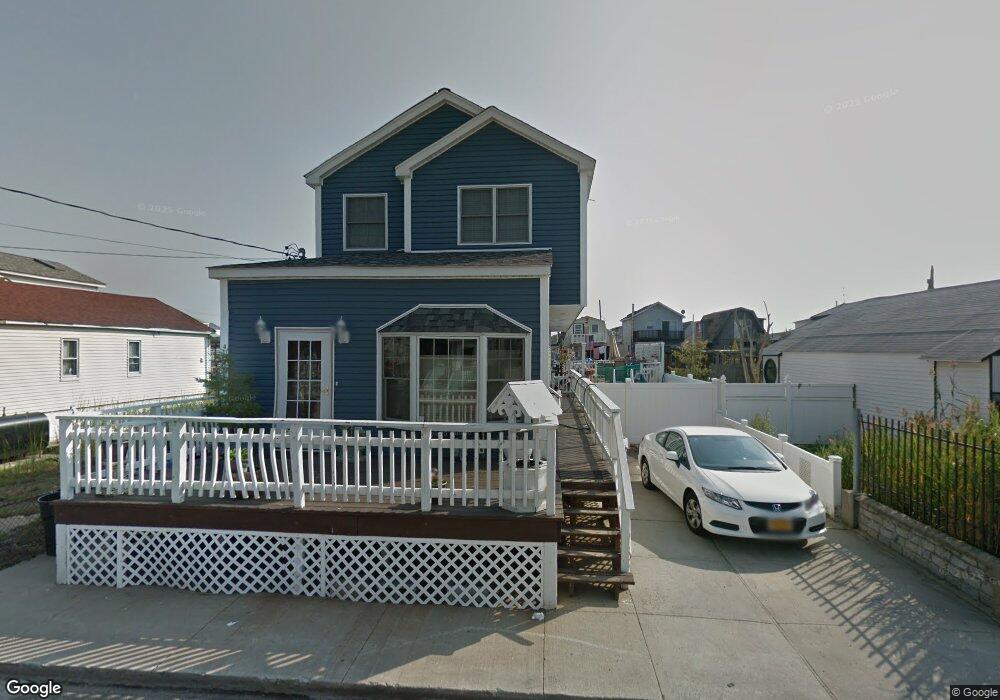
34 W 11th Rd Broad Channel, NY 11693
Broad Channel NeighborhoodEstimated Value: $562,338 - $717,000
--
Bed
--
Bath
1,734
Sq Ft
$372/Sq Ft
Est. Value
About This Home
This home is located at 34 W 11th Rd, Broad Channel, NY 11693 and is currently estimated at $645,585, approximately $372 per square foot. 34 W 11th Rd is a home located in Queens County with nearby schools including P.S. 47 - Chris Galas and St Rose of Lima Catholic Academy.
Ownership History
Date
Name
Owned For
Owner Type
Purchase Details
Closed on
Nov 29, 2014
Sold by
Fox Carol and Fox Timothy
Bought by
Fox Carol
Current Estimated Value
Purchase Details
Closed on
Jan 23, 2003
Sold by
Knee Carol
Bought by
Fox Carol H and Fox Timothy M
Home Financials for this Owner
Home Financials are based on the most recent Mortgage that was taken out on this home.
Original Mortgage
$100,000
Interest Rate
6.29%
Mortgage Type
Purchase Money Mortgage
Purchase Details
Closed on
Apr 16, 1998
Sold by
Knee Frederick and Knee Carol
Bought by
Knee Carol
Create a Home Valuation Report for This Property
The Home Valuation Report is an in-depth analysis detailing your home's value as well as a comparison with similar homes in the area
Home Values in the Area
Average Home Value in this Area
Purchase History
| Date | Buyer | Sale Price | Title Company |
|---|---|---|---|
| Fox Carol | -- | -- | |
| Fox Carol | -- | -- | |
| Fox Carol H | -- | -- | |
| Fox Carol H | -- | -- | |
| Knee Carol | -- | Uslife Title Insurance Compa | |
| Knee Carol | -- | Uslife Title Insurance Compa |
Source: Public Records
Mortgage History
| Date | Status | Borrower | Loan Amount |
|---|---|---|---|
| Previous Owner | Fox Carol H | $100,000 |
Source: Public Records
Tax History Compared to Growth
Tax History
| Year | Tax Paid | Tax Assessment Tax Assessment Total Assessment is a certain percentage of the fair market value that is determined by local assessors to be the total taxable value of land and additions on the property. | Land | Improvement |
|---|---|---|---|---|
| 2025 | $3,150 | $17,083 | $3,166 | $13,917 |
| 2024 | $3,162 | $17,082 | $3,058 | $14,024 |
| 2023 | $3,076 | $16,715 | $3,290 | $13,425 |
| 2022 | $2,861 | $33,660 | $6,660 | $27,000 |
| 2021 | $2,835 | $31,560 | $6,660 | $24,900 |
| 2020 | $2,717 | $30,960 | $6,660 | $24,300 |
| 2019 | $2,685 | $26,520 | $6,660 | $19,860 |
| 2018 | $2,542 | $13,929 | $3,530 | $10,399 |
| 2017 | $2,379 | $13,141 | $3,759 | $9,382 |
| 2016 | $2,169 | $13,141 | $3,759 | $9,382 |
| 2015 | $1,433 | $11,863 | $3,806 | $8,057 |
| 2014 | $1,433 | $20,772 | $6,660 | $14,112 |
Source: Public Records
Map
Nearby Homes
- 27 W 11th Rd
- 33 W 11th Rd
- 35 W 11th Rd
- 22 W 10th Rd
- 20 W 10th Rd
- 33 W 12th Rd
- 1024 Cross Bay Blvd
- 803 Cross Bay Blvd
- 1317 Cross Bay Blvd
- 12 W 14th Rd
- 1234 Cross Bay Blvd
- 12-34 Cross Bay Blvd
- 12-38 Cross Bay Blvd
- 14-7 Cross Bay Blvd
- 120 E 8th Rd
- 815 Walton Rd
- 621 Cross Bay Blvd
- 118 E 6th Rd
- 21 W 18th Rd
- 20 W 18th Rd