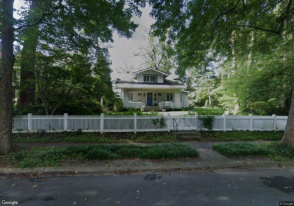
34 W Kirke St Chevy Chase, MD 20815
Chevy Chase Village NeighborhoodEstimated Value: $2,620,035 - $2,888,000
5
Beds
5
Baths
5,002
Sq Ft
$557/Sq Ft
Est. Value
About This Home
This home is located at 34 W Kirke St, Chevy Chase, MD 20815 and is currently estimated at $2,784,759, approximately $556 per square foot. 34 W Kirke St is a home located in Montgomery County with nearby schools including Rosemary Hills Elementary School, Chevy Chase Elementary School, and Silver Creek Middle School.
Ownership History
Date
Name
Owned For
Owner Type
Purchase Details
Closed on
Jun 16, 2016
Sold by
Eig Mark H and Eig Susan A
Bought by
Dann Thomas S and Dann Melissa S
Current Estimated Value
Home Financials for this Owner
Home Financials are based on the most recent Mortgage that was taken out on this home.
Original Mortgage
$1,571,000
Outstanding Balance
$1,251,969
Interest Rate
3.61%
Mortgage Type
Adjustable Rate Mortgage/ARM
Estimated Equity
$1,532,790
Create a Home Valuation Report for This Property
The Home Valuation Report is an in-depth analysis detailing your home's value as well as a comparison with similar homes in the area
Home Values in the Area
Average Home Value in this Area
Purchase History
| Date | Buyer | Sale Price | Title Company |
|---|---|---|---|
| Dann Thomas S | $1,971,000 | Westcor Land Title Co |
Source: Public Records
Mortgage History
| Date | Status | Borrower | Loan Amount |
|---|---|---|---|
| Open | Dann Thomas S | $1,571,000 |
Source: Public Records
Tax History Compared to Growth
Tax History
| Year | Tax Paid | Tax Assessment Tax Assessment Total Assessment is a certain percentage of the fair market value that is determined by local assessors to be the total taxable value of land and additions on the property. | Land | Improvement |
|---|---|---|---|---|
| 2025 | $22,756 | $1,923,900 | $1,086,300 | $837,600 |
| 2024 | $22,756 | $1,842,633 | $0 | $0 |
| 2023 | $21,131 | $1,761,367 | $0 | $0 |
| 2022 | $19,399 | $1,680,100 | $987,500 | $692,600 |
| 2021 | $18,793 | $1,680,100 | $987,500 | $692,600 |
| 2020 | $13,831 | $1,680,100 | $987,500 | $692,600 |
| 2019 | $17,045 | $1,971,000 | $897,700 | $1,073,300 |
| 2018 | $15,497 | $1,684,600 | $0 | $0 |
| 2017 | $13,050 | $1,118,933 | $0 | $0 |
| 2016 | -- | $1,111,800 | $0 | $0 |
| 2015 | $12,156 | $1,103,300 | $0 | $0 |
| 2014 | $12,156 | $1,094,800 | $0 | $0 |
Source: Public Records
Map
Nearby Homes
- 32 W Irving St
- 5804 Cedar Pkwy
- 16 W Lenox St
- 44 Grafton St
- 5 Chevy Chase Cir
- 4016 Oliver St
- 1 W Melrose St
- 5604 Western Ave
- 2 Oxford St
- 5413 Center St
- 4615 Hunt Ave
- 5630 Wisconsin Ave Unit 506
- 5600 Wisconsin Ave Unit 201
- 5600 Wisconsin Ave Unit 305
- 4209 Bradley Ln
- 6302 Broad Branch Rd
- 4008 Rosemary St
- 6200 Broad Branch Rd NW
- 4301 Military Rd NW Unit 306
- 4301 Military Rd NW Unit 202