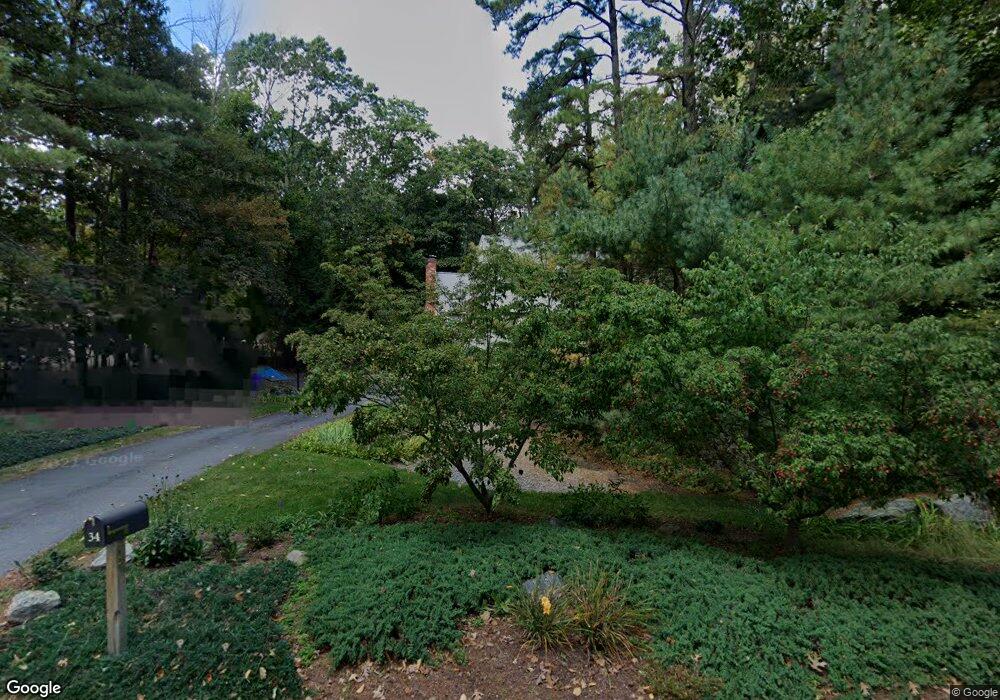
34 Waite Rd Boxborough, MA 01719
Estimated Value: $838,000 - $1,157,000
3
Beds
3
Baths
2,078
Sq Ft
$452/Sq Ft
Est. Value
About This Home
This home is located at 34 Waite Rd, Boxborough, MA 01719 and is currently estimated at $938,289, approximately $451 per square foot. 34 Waite Rd is a home located in Middlesex County with nearby schools including Acton-Boxborough Regional High School.
Ownership History
Date
Name
Owned For
Owner Type
Purchase Details
Closed on
Mar 15, 2023
Sold by
Blatt Lewis and Blatt Linda N
Bought by
Blatt Ft
Current Estimated Value
Purchase Details
Closed on
Dec 23, 1992
Sold by
Hyman Robert M and Brynan Jessie
Bought by
Blatt Lewis and Blatt Linda N
Home Financials for this Owner
Home Financials are based on the most recent Mortgage that was taken out on this home.
Original Mortgage
$140,000
Interest Rate
8.31%
Mortgage Type
Purchase Money Mortgage
Purchase Details
Closed on
Jul 8, 1987
Sold by
Rice Thomas R
Bought by
Hyman Robert M
Home Financials for this Owner
Home Financials are based on the most recent Mortgage that was taken out on this home.
Original Mortgage
$200,000
Interest Rate
10.71%
Mortgage Type
Purchase Money Mortgage
Create a Home Valuation Report for This Property
The Home Valuation Report is an in-depth analysis detailing your home's value as well as a comparison with similar homes in the area
Home Values in the Area
Average Home Value in this Area
Purchase History
| Date | Buyer | Sale Price | Title Company |
|---|---|---|---|
| Blatt Ft | -- | None Available | |
| Blatt Lewis | $270,000 | -- | |
| Blatt Lewis | $270,000 | -- | |
| Hyman Robert M | $268,000 | -- |
Source: Public Records
Mortgage History
| Date | Status | Borrower | Loan Amount |
|---|---|---|---|
| Previous Owner | Hyman Robert M | $140,000 | |
| Previous Owner | Hyman Robert M | $200,000 |
Source: Public Records
Tax History Compared to Growth
Tax History
| Year | Tax Paid | Tax Assessment Tax Assessment Total Assessment is a certain percentage of the fair market value that is determined by local assessors to be the total taxable value of land and additions on the property. | Land | Improvement |
|---|---|---|---|---|
| 2025 | $11,288 | $745,600 | $298,000 | $447,600 |
| 2024 | $10,484 | $699,400 | $286,400 | $413,000 |
| 2023 | $9,860 | $635,300 | $247,100 | $388,200 |
| 2022 | $9,550 | $548,200 | $247,100 | $301,100 |
| 2020 | $8,694 | $520,000 | $247,100 | $272,900 |
| 2019 | $8,538 | $520,000 | $247,100 | $272,900 |
| 2018 | $8,661 | $491,900 | $235,500 | $256,400 |
| 2017 | $8,050 | $478,900 | $235,500 | $243,400 |
| 2016 | $7,679 | $469,400 | $235,500 | $233,900 |
| 2015 | $7,283 | $437,400 | $206,600 | $230,800 |
| 2014 | $7,338 | $414,800 | $202,500 | $212,300 |
Source: Public Records
Map
Nearby Homes
- 62 Waite Rd
- 118 Colonial Ridge Dr
- 777 Depot Rd
- Lot 2 Strawberry Farm
- 170 Picnic St
- 181 Foster St
- 70 Loring Ave
- 417 Central St
- 134 Russet Ln
- 9 Lillian Rd
- 179 Harwood Ave
- 150 Whitcomb Ave
- 5 Trail Ridge Way Unit C
- 68 Macintosh Ln
- 54 Mohawk Dr
- 153 Tahattawan Rd
- 351 Burroughs Rd
- 31 Mohawk Dr
- 20 Lyons Ln Unit 13
- 31 Springfield Dr
- 46 Waite Rd
- 22 Waite Rd
- 27 Waite Rd
- 1037 Liberty Square Rd
- 1037 Liberty Square Rd
- 975 Liberty Square Rd
- 59 Waite Rd
- 975 Liberty Square Radial
- 43 Waite Rd
- 1033 Liberty Square Rd
- 1002 Liberty Square Rd
- 94 Waite Rd
- 1024 Liberty Square Rd
- 1024 Liberty Square Rd
- 963 Liberty Square Rd
- 986 Liberty Square Rd
- 73 Waite Rd
- 1055 Liberty Square Rd
- 87 Waite Rd
- 949 Liberty Square Rd