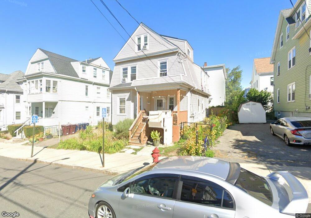
34 Winslow St Everett, MA 02149
West Everett NeighborhoodEstimated Value: $739,478 - $991,000
3
Beds
2
Baths
1,826
Sq Ft
$455/Sq Ft
Est. Value
About This Home
This home is located at 34 Winslow St, Everett, MA 02149 and is currently estimated at $830,120, approximately $454 per square foot. 34 Winslow St is a home located in Middlesex County with nearby schools including Everett High School, Pioneer Charter School of Science, and St Anthony School.
Ownership History
Date
Name
Owned For
Owner Type
Purchase Details
Closed on
Jan 5, 2005
Sold by
Tennell Dorothea L
Bought by
Tennell Dorothea L and Price Nena
Current Estimated Value
Home Financials for this Owner
Home Financials are based on the most recent Mortgage that was taken out on this home.
Original Mortgage
$135,000
Outstanding Balance
$68,159
Interest Rate
5.75%
Mortgage Type
Purchase Money Mortgage
Estimated Equity
$761,961
Purchase Details
Closed on
Jul 23, 1982
Bought by
Tennell Dorothea L and Price Nena
Create a Home Valuation Report for This Property
The Home Valuation Report is an in-depth analysis detailing your home's value as well as a comparison with similar homes in the area
Home Values in the Area
Average Home Value in this Area
Purchase History
| Date | Buyer | Sale Price | Title Company |
|---|---|---|---|
| Tennell Dorothea L | -- | -- | |
| Tennell Dorothea L | -- | -- |
Source: Public Records
Mortgage History
| Date | Status | Borrower | Loan Amount |
|---|---|---|---|
| Open | Tennell Dorothea L | $135,000 | |
| Previous Owner | Tennell Dorothea L | $55,200 | |
| Previous Owner | Tennell Dorothea L | $55,000 | |
| Previous Owner | Tennell Dorothea L | $43,800 |
Source: Public Records
Tax History Compared to Growth
Tax History
| Year | Tax Paid | Tax Assessment Tax Assessment Total Assessment is a certain percentage of the fair market value that is determined by local assessors to be the total taxable value of land and additions on the property. | Land | Improvement |
|---|---|---|---|---|
| 2025 | $7,529 | $661,000 | $241,600 | $419,400 |
| 2024 | $6,677 | $582,600 | $196,200 | $386,400 |
| 2023 | $6,501 | $551,900 | $186,600 | $365,300 |
| 2022 | $5,364 | $517,800 | $179,900 | $337,900 |
| 2021 | $4,982 | $504,800 | $179,900 | $324,900 |
| 2020 | $5,251 | $493,500 | $179,900 | $313,600 |
| 2019 | $5,569 | $449,800 | $171,300 | $278,500 |
| 2018 | $5,450 | $395,500 | $149,300 | $246,200 |
| 2017 | $5,014 | $347,200 | $124,400 | $222,800 |
| 2016 | $4,532 | $313,600 | $114,800 | $198,800 |
| 2015 | $4,297 | $294,100 | $107,900 | $186,200 |
Source: Public Records
Map
Nearby Homes
- 25 Clark St
- 315 Main St
- 56 Valley St
- 340 Main St
- 68 Linden St Unit 49
- 16 Woodville St
- 39 Kinsman St
- 39 Parlin St Unit 503
- 48 Cleveland Ave
- 14 K Terrace
- 171 Bell Rock St Unit 171
- 103 Swan St
- 24 Corey St Unit 101
- 6 Christina Cir
- 58 Regent Rd
- 210 Hancock St
- 43 Alfred St Unit A
- 15 Staples Ave Unit 31
- 55 Clarendon St
- 21 Staples Ave Unit 25
- 28 Winslow St
- 28 Winslow St Unit 1
- 36 Winslow St
- 38 Winslow St
- 37 Clark St
- 33 Clark St
- 43 Clark St
- 42 Winslow St
- 33 Winslow St Unit 3
- 33 Winslow St
- 33 Winslow St Unit 1
- 35 Clark St Unit 1
- 45 Clark St
- 26 Winslow St
- 26 Winslow St
- 26 Winslow St Unit 2
- 35 Winslow St
- 1 Winslow St
- 31 Clark St
- 22 Winslow St