340 Apache Dr Roaring Spring, PA 16673
Estimated Value: $196,000 - $377,000
Studio
--
Bath
--
Sq Ft
43,996
Sq Ft Lot
About This Home
This home is located at 340 Apache Dr, Roaring Spring, PA 16673 and is currently estimated at $287,427. 340 Apache Dr is a home located in Blair County with nearby schools including Spring Cove Elementary School, Spring Cove Middle School, and Central High School.
Ownership History
Date
Name
Owned For
Owner Type
Purchase Details
Closed on
Feb 9, 2009
Sold by
Shaw Emily Ann and Kitt Joseph Patrick
Bought by
Kitt Joseph P and Kitt Emily A
Current Estimated Value
Home Financials for this Owner
Home Financials are based on the most recent Mortgage that was taken out on this home.
Original Mortgage
$194,000
Interest Rate
5.26%
Mortgage Type
New Conventional
Create a Home Valuation Report for This Property
The Home Valuation Report is an in-depth analysis detailing your home's value as well as a comparison with similar homes in the area
Purchase History
| Date | Buyer | Sale Price | Title Company |
|---|---|---|---|
| Kitt Joseph P | -- | None Available |
Source: Public Records
Mortgage History
| Date | Status | Borrower | Loan Amount |
|---|---|---|---|
| Closed | Kitt Joseph P | $194,000 |
Source: Public Records
Tax History
| Year | Tax Paid | Tax Assessment Tax Assessment Total Assessment is a certain percentage of the fair market value that is determined by local assessors to be the total taxable value of land and additions on the property. | Land | Improvement |
|---|---|---|---|---|
| 2025 | $3,825 | $223,200 | $55,200 | $168,000 |
| 2024 | $3,594 | $223,200 | $55,200 | $168,000 |
| 2023 | $3,499 | $223,200 | $55,200 | $168,000 |
| 2022 | $3,450 | $223,200 | $55,200 | $168,000 |
| 2021 | $3,450 | $223,200 | $55,200 | $168,000 |
| 2020 | $3,445 | $223,200 | $55,200 | $168,000 |
| 2019 | $3,340 | $223,200 | $55,200 | $168,000 |
| 2018 | $3,264 | $223,200 | $55,200 | $168,000 |
| 2017 | $27,507 | $223,200 | $55,200 | $168,000 |
| 2016 | $549 | $15,180 | $220 | $14,960 |
| 2015 | $549 | $15,180 | $220 | $14,960 |
| 2014 | $549 | $15,180 | $220 | $14,960 |
Source: Public Records
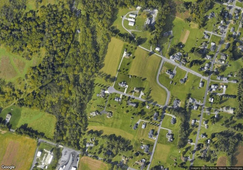
Map
Nearby Homes
- 304 Poplar St
- 219 Poplar St
- 532 Maple St
- 901 Garver St
- 909 E Main St
- 1613 Burk Rd
- 212 Benton Rd
- 15033 Dunnings Hwy
- 1310 Cove Lane Rd
- 113 Place Lafayette Ln
- 00 Ridge Run Rd Unit Lot 167
- 00 Ridge Run Rd Unit Lot 227
- 00 Iron Masters Rd Unit Lot 128
- 00 Iron Masters Rd Unit Lot 275
- 1066 Oak Terrace Dr
- 1246 Oak Terrace Dr
- 563 Lock Mountain Rd
- 115 N Ann St
- . Heverly Ave
- 314 S Market St
- 318 Apache Dr
- 330 Apache Dr Unit 21
- 347 Apache Dr
- 361 Apache Dr
- 331 Apache Dr
- 356 Apache Dr
- 151 Cheyenne Dr
- 357 Apache Dr
- 159 Cheyenne Dr
- 345 Apache Dr
- 441 Shawnee Dr
- 482 Forest Ln
- 174 Cheyenne Dr
- 141 Cheyenne Dr
- 429 Shawnee Dr
- 436 Shawnee Dr
- 158 Cheyenne Dr
- 448 Shawnee Dr
- 430 Shawnee Dr
- 123 Cheyenne Dr Unit 16
Your Personal Tour Guide
Ask me questions while you tour the home.