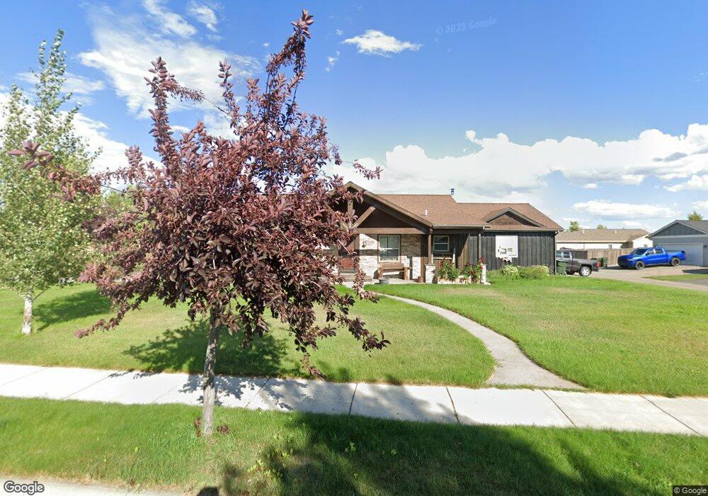
340 Battle Ridge Dr Kalispell, MT 59901
Estimated Value: $524,200 - $539,000
3
Beds
2
Baths
1,518
Sq Ft
$351/Sq Ft
Est. Value
About This Home
This home is located at 340 Battle Ridge Dr, Kalispell, MT 59901 and is currently estimated at $533,050, approximately $351 per square foot. 340 Battle Ridge Dr is a home located in Flathead County with nearby schools including West Valley Elementary School, West Valley Middle School, and Glacier High School.
Ownership History
Date
Name
Owned For
Owner Type
Purchase Details
Closed on
May 26, 2015
Sold by
Carlson Jerome C and Carlson Lily F
Bought by
Bauserman Joel R and Bauserman Lora M
Current Estimated Value
Home Financials for this Owner
Home Financials are based on the most recent Mortgage that was taken out on this home.
Original Mortgage
$203,000
Outstanding Balance
$156,609
Interest Rate
3.64%
Mortgage Type
New Conventional
Estimated Equity
$376,441
Purchase Details
Closed on
May 25, 2007
Sold by
Northstar Associates Llc
Bought by
Mcmahon Joseph D
Create a Home Valuation Report for This Property
The Home Valuation Report is an in-depth analysis detailing your home's value as well as a comparison with similar homes in the area
Purchase History
| Date | Buyer | Sale Price | Title Company |
|---|---|---|---|
| Bauserman Joel R | -- | Insured Titles | |
| Mcmahon Joseph D | -- | Citizens Title And Escrow Co |
Source: Public Records
Mortgage History
| Date | Status | Borrower | Loan Amount |
|---|---|---|---|
| Open | Bauserman Joel R | $203,000 |
Source: Public Records
Tax History
| Year | Tax Paid | Tax Assessment Tax Assessment Total Assessment is a certain percentage of the fair market value that is determined by local assessors to be the total taxable value of land and additions on the property. | Land | Improvement |
|---|---|---|---|---|
| 2025 | $2,784 | $550,200 | $0 | $0 |
| 2024 | $3,050 | $423,500 | $0 | $0 |
| 2023 | $3,435 | $423,500 | $0 | $0 |
| 2022 | $3,408 | $318,600 | $0 | $0 |
| 2021 | $3,284 | $318,600 | $0 | $0 |
| 2020 | $3,219 | $270,000 | $0 | $0 |
| 2019 | $3,180 | $270,000 | $0 | $0 |
| 2018 | $3,015 | $238,900 | $0 | $0 |
| 2017 | $3,012 | $238,900 | $0 | $0 |
| 2016 | $1,414 | $229,500 | $0 | $0 |
| 2015 | $2,853 | $229,500 | $0 | $0 |
| 2014 | -- | $124,497 | $0 | $0 |
Source: Public Records
Map
Nearby Homes
- 270 Westland Dr
- 2845 Farm To Market Rd
- 2130 Farm To Market Rd
- 327 Mountain Vista Way
- 228 Cottage Dr
- 191 Cottage Dr
- 137 Looking Glass Ave
- 404 Needlegrass Ln
- 117 Cyclone Dr
- 129 Cyclone Dr
- 215 Jackson Peak Dr
- 405 Needlegrass Ln
- 821 Lake Francis Dr
- 823 Lake Francis Dr
- 429 Needlegrass Ln
- 420 Needlegrass Ln
- 200 Aspen Loop
- 424 Needlegrass Ln
- 412 Needlegrass Ln
- 433 Needlegrass Ln
- 370 Westland Dr
- 360 Westland Dr
- 275 Short Pine Dr
- 285 Short Pine Dr
- 385 Westland Dr
- 350 Westland Dr
- 345 Battle Ridge Dr
- 355 Battle Ridge Dr
- 375 Westland Dr
- 265 Short Pine Dr
- 365 Battle Ridge Dr
- 400 Westland Dr
- 365 Westland Dr
- 335 Battle Ridge Dr
- 255 Short Pine Dr
- 355 Westland Dr
- 340 Westland Dr
- 375 Battle Ridge Dr
- 405 W Land Dr
- 280 Short Pine Dr
Your Personal Tour Guide
Ask me questions while you tour the home.