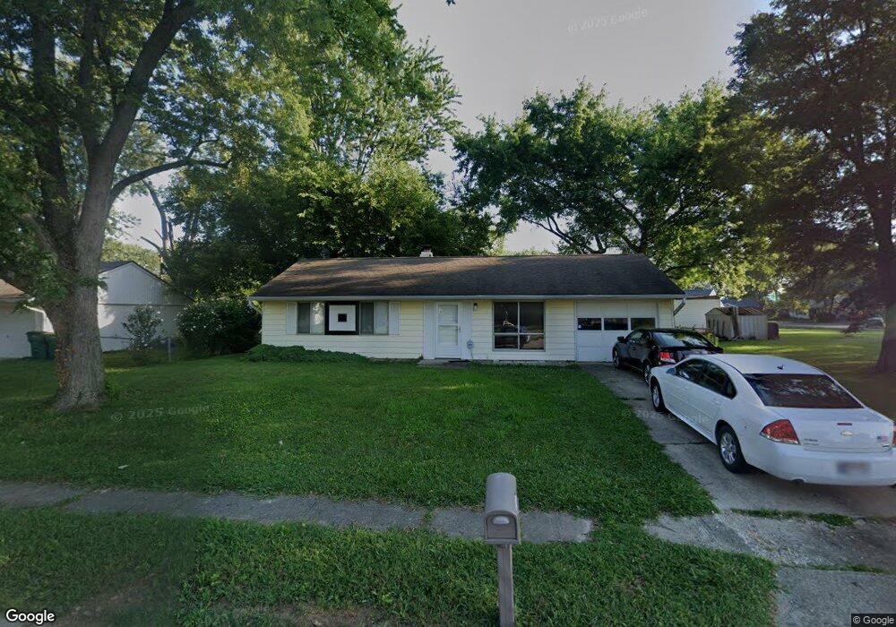
340 Bryant Dr Franklin, IN 46131
Estimated Value: $163,000 - $174,519
2
Beds
1
Bath
925
Sq Ft
$182/Sq Ft
Est. Value
About This Home
This home is located at 340 Bryant Dr, Franklin, IN 46131 and is currently estimated at $168,630, approximately $182 per square foot. 340 Bryant Dr is a home located in Johnson County with nearby schools including Northwood Elementary School, Franklin Community Middle School, and Custer Baker Intermediate School.
Ownership History
Date
Name
Owned For
Owner Type
Purchase Details
Closed on
Apr 29, 2014
Sold by
Harris Linda K
Bought by
Sloat Mitchell D
Current Estimated Value
Home Financials for this Owner
Home Financials are based on the most recent Mortgage that was taken out on this home.
Original Mortgage
$47,130
Interest Rate
4.62%
Mortgage Type
FHA
Create a Home Valuation Report for This Property
The Home Valuation Report is an in-depth analysis detailing your home's value as well as a comparison with similar homes in the area
Home Values in the Area
Average Home Value in this Area
Purchase History
| Date | Buyer | Sale Price | Title Company |
|---|---|---|---|
| Sloat Mitchell D | -- | None Available |
Source: Public Records
Mortgage History
| Date | Status | Borrower | Loan Amount |
|---|---|---|---|
| Closed | Sloat Mitchell D | $47,130 |
Source: Public Records
Tax History
| Year | Tax Paid | Tax Assessment Tax Assessment Total Assessment is a certain percentage of the fair market value that is determined by local assessors to be the total taxable value of land and additions on the property. | Land | Improvement |
|---|---|---|---|---|
| 2025 | $1,230 | $136,700 | $22,400 | $114,300 |
| 2024 | $1,230 | $119,200 | $22,800 | $96,400 |
| 2023 | $1,116 | $112,200 | $22,800 | $89,400 |
| 2022 | $971 | $98,400 | $22,800 | $75,600 |
| 2021 | $786 | $86,100 | $22,800 | $63,300 |
| 2020 | $733 | $82,900 | $20,400 | $62,500 |
| 2019 | $641 | $79,300 | $11,100 | $68,200 |
| 2018 | $511 | $71,100 | $11,100 | $60,000 |
| 2017 | $507 | $70,400 | $11,100 | $59,300 |
| 2016 | $484 | $67,300 | $11,100 | $56,200 |
| 2014 | $583 | $65,700 | $16,300 | $49,400 |
| 2013 | $583 | $68,600 | $16,400 | $52,200 |
Source: Public Records
Map
Nearby Homes
- 1860 Churchill Rd
- 2139 Bridlewood Dr
- 1046 Ebony Cir
- 2258 Bridlewood Dr
- 2000 Acorn Rd
- 1996 Acorn Rd Unit 2000
- 1985 Falcon Ct
- 801 Hurricane St
- 750 Hurricane St
- 2002 Falcon Ct
- 698 Yandes St
- 601 Duane St
- 2425 Bristol Dr
- 2388 Cedarmill Dr
- 2458 Bristol Dr
- 2546 Bridlewood Dr
- 2159 Somerset Dr
- 2250 Somerset Dr
- 2478 Cedarmill Dr
- 2298 Somerset Dr
Your Personal Tour Guide
Ask me questions while you tour the home.