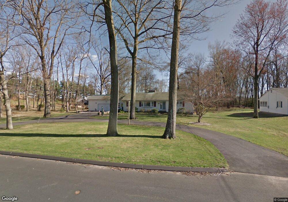
340 Burnham St Manchester, CT 06042
Robertson NeighborhoodEstimated Value: $432,814 - $555,000
4
Beds
3
Baths
2,038
Sq Ft
$234/Sq Ft
Est. Value
About This Home
This home is located at 340 Burnham St, Manchester, CT 06042 and is currently estimated at $477,704, approximately $234 per square foot. 340 Burnham St is a home located in Hartford County with nearby schools including Robertson School, Illing Middle School, and Elisabeth M. Bennet Academy.
Ownership History
Date
Name
Owned For
Owner Type
Purchase Details
Closed on
May 31, 2019
Sold by
Digges Charles D and Digges Katherine H
Bought by
Digges Charles D and Digges Katherine H
Current Estimated Value
Purchase Details
Closed on
Mar 15, 2006
Sold by
Anderson William H
Bought by
Moore David B and Moore Karen P
Purchase Details
Closed on
Jan 27, 1994
Sold by
Anderson Catherine
Bought by
Anderson William H
Create a Home Valuation Report for This Property
The Home Valuation Report is an in-depth analysis detailing your home's value as well as a comparison with similar homes in the area
Home Values in the Area
Average Home Value in this Area
Purchase History
| Date | Buyer | Sale Price | Title Company |
|---|---|---|---|
| Digges Charles D | -- | -- | |
| Digges Charles D | -- | -- | |
| Moore David B | $333,350 | -- | |
| Moore David B | $333,350 | -- | |
| Anderson William H | $148,000 | -- | |
| Anderson William H | $148,000 | -- |
Source: Public Records
Mortgage History
| Date | Status | Borrower | Loan Amount |
|---|---|---|---|
| Previous Owner | Anderson William H | $25,000 | |
| Previous Owner | Anderson William H | $212,800 | |
| Previous Owner | Anderson William H | $75,000 |
Source: Public Records
Tax History Compared to Growth
Tax History
| Year | Tax Paid | Tax Assessment Tax Assessment Total Assessment is a certain percentage of the fair market value that is determined by local assessors to be the total taxable value of land and additions on the property. | Land | Improvement |
|---|---|---|---|---|
| 2025 | $8,904 | $223,600 | $60,100 | $163,500 |
| 2024 | $8,649 | $223,600 | $60,100 | $163,500 |
| 2023 | $8,318 | $223,600 | $60,100 | $163,500 |
| 2022 | $8,155 | $223,600 | $60,100 | $163,500 |
| 2021 | $7,165 | $196,200 | $52,000 | $144,200 |
| 2020 | $7,165 | $196,200 | $52,000 | $144,200 |
| 2019 | $7,165 | $196,200 | $52,000 | $144,200 |
| 2018 | $7,026 | $196,200 | $52,000 | $144,200 |
| 2017 | $6,838 | $196,200 | $52,000 | $144,200 |
| 2016 | $6,451 | $185,100 | $63,600 | $121,500 |
| 2015 | $6,419 | $185,100 | $63,600 | $121,500 |
| 2014 | $6,293 | $185,100 | $63,600 | $121,500 |
Source: Public Records
Map
Nearby Homes
- 169 Croft Dr
- 5 Foncine Ln Unit 5
- 643 Burnham St W
- 260 Smith St
- 274 Smith St
- 949 Pleasant Valley Condo Rd Unit 10-06
- 949 Pleasant Valley Rd Unit 10-07
- 25 Stonehaven Cir
- 610 Clark St
- 85 Beacon Hill Rd
- 47 Bodwell Rd
- 2201 Mill Pond Dr Unit 2201
- 76 Syracuse Dr
- 1220 Burnside Ave Unit A
- 708 Hilliard St
- 130 Candlewood Dr Unit 130
- 13 Oak Forest Dr Unit 6
- 62 Candlewood Dr Unit 62
- 61 Leverich Dr
- 6 Rondy Ln