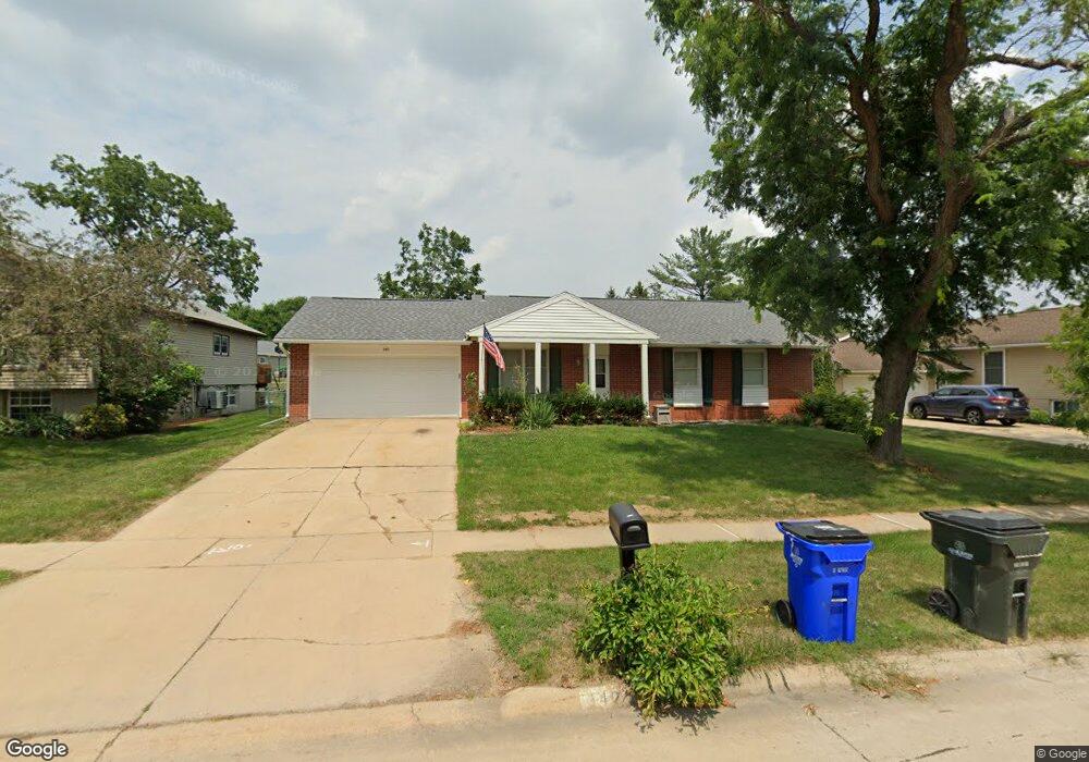
340 Cambridge Dr NE Cedar Rapids, IA 52402
Estimated Value: $232,731 - $278,000
3
Beds
3
Baths
1,344
Sq Ft
$190/Sq Ft
Est. Value
About This Home
This home is located at 340 Cambridge Dr NE, Cedar Rapids, IA 52402 and is currently estimated at $255,183, approximately $189 per square foot. 340 Cambridge Dr NE is a home located in Linn County with nearby schools including Bowman Woods Elementary School, Oak Ridge School, and Linn-Mar High School.
Ownership History
Date
Name
Owned For
Owner Type
Purchase Details
Closed on
Jul 12, 2001
Sold by
Buxton Mary Nan C
Bought by
Buxton Frank E
Current Estimated Value
Purchase Details
Closed on
Oct 5, 2000
Sold by
Denes John J and Denes Rosemary
Bought by
Buxton Mary Nan C
Create a Home Valuation Report for This Property
The Home Valuation Report is an in-depth analysis detailing your home's value as well as a comparison with similar homes in the area
Home Values in the Area
Average Home Value in this Area
Purchase History
| Date | Buyer | Sale Price | Title Company |
|---|---|---|---|
| Buxton Frank E | -- | -- | |
| Buxton Mary Nan C | $123,000 | -- |
Source: Public Records
Tax History Compared to Growth
Tax History
| Year | Tax Paid | Tax Assessment Tax Assessment Total Assessment is a certain percentage of the fair market value that is determined by local assessors to be the total taxable value of land and additions on the property. | Land | Improvement |
|---|---|---|---|---|
| 2025 | $3,688 | $219,700 | $57,500 | $162,200 |
| 2024 | $3,612 | $215,100 | $53,400 | $161,700 |
| 2023 | $3,612 | $198,700 | $53,400 | $145,300 |
| 2022 | $3,404 | $166,900 | $45,200 | $121,700 |
| 2021 | $3,500 | $162,700 | $45,200 | $117,500 |
| 2020 | $3,500 | $157,700 | $39,000 | $118,700 |
| 2019 | $3,378 | $153,900 | $39,000 | $114,900 |
| 2018 | $3,228 | $153,900 | $39,000 | $114,900 |
| 2017 | $3,365 | $154,000 | $39,000 | $115,000 |
| 2016 | $3,365 | $150,400 | $39,000 | $111,400 |
| 2015 | $3,637 | $162,422 | $38,996 | $123,426 |
| 2014 | $3,545 | $162,812 | $24,629 | $138,183 |
| 2013 | $3,332 | $162,812 | $24,629 | $138,183 |
Source: Public Records
Map
Nearby Homes
- 342 Cambridge Dr NE
- 6726 Bowman Ln NE
- 7320 Hampshire Dr NE
- 316 Sussex Dr NE
- 1151 Plumwood Ct NE
- 1000 Hampshire Cir
- 980 Hampshire Cir
- 960 Hampshire Cir
- 2140 Newcastle Rd
- 948 Hampshire Cir
- 3310 Timber Ridge Ct
- 916 Hampshire Cir
- 932 Prescott Ln
- 884 Hampshire Cir
- 1150 Bedford Ct
- 862 Hampshire Cir
- 819 Hampshire Cir
- 820 Hampshire Cir
- 750 Hampshire Dr
- 786 Hampshire Cir
- 330 Cambridge Dr NE
- 346 Cambridge Dr NE
- 320 Cambridge Dr NE
- 7104 Kent Dr NE
- 7014 Kent Dr NE
- 310 Cambridge Dr NE
- 361 Carnaby Dr NE
- 321 Cambridge Dr NE
- 7010 Kent Dr NE
- 356 Cambridge Dr NE
- 250 Cambridge Dr NE
- 2689 Brookfield Dr
- 2711 Brookfield Dr
- 309 Cambridge Dr NE
- 351 Carnaby Dr NE
- 7006 Kent Dr NE
- 7013 Kent Dr NE
- 320 Carnaby Dr NE
- 7101 Kent Dr NE
- 2667 Brookfield Dr