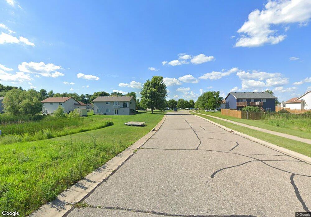
340 Douglas Dr S Annandale, MN 55302
Estimated Value: $286,789 - $314,000
2
Beds
1
Bath
1,090
Sq Ft
$278/Sq Ft
Est. Value
About This Home
This home is located at 340 Douglas Dr S, Annandale, MN 55302 and is currently estimated at $302,697, approximately $277 per square foot. 340 Douglas Dr S is a home located in Wright County with nearby schools including Annandale Elementary School, Annandale Middle School, and Annandale Senior High School.
Ownership History
Date
Name
Owned For
Owner Type
Purchase Details
Closed on
Dec 30, 2019
Sold by
Bailey Patrick W and Bailey Brandi
Bought by
Behrends Elijah
Current Estimated Value
Home Financials for this Owner
Home Financials are based on the most recent Mortgage that was taken out on this home.
Original Mortgage
$153,385
Outstanding Balance
$135,783
Interest Rate
3.7%
Mortgage Type
New Conventional
Estimated Equity
$166,914
Purchase Details
Closed on
Sep 25, 2009
Sold by
Woodside South Brook Llc
Bought by
Bailey Patrick W
Create a Home Valuation Report for This Property
The Home Valuation Report is an in-depth analysis detailing your home's value as well as a comparison with similar homes in the area
Home Values in the Area
Average Home Value in this Area
Purchase History
| Date | Buyer | Sale Price | Title Company |
|---|---|---|---|
| Behrends Elijah | $210,000 | Executive Title | |
| Bailey Patrick W | $144,900 | -- |
Source: Public Records
Mortgage History
| Date | Status | Borrower | Loan Amount |
|---|---|---|---|
| Open | Behrends Elijah | $153,385 |
Source: Public Records
Tax History Compared to Growth
Tax History
| Year | Tax Paid | Tax Assessment Tax Assessment Total Assessment is a certain percentage of the fair market value that is determined by local assessors to be the total taxable value of land and additions on the property. | Land | Improvement |
|---|---|---|---|---|
| 2025 | $2,444 | $268,700 | $50,000 | $218,700 |
| 2024 | $2,434 | $259,600 | $50,000 | $209,600 |
| 2023 | $2,520 | $253,800 | $45,000 | $208,800 |
| 2022 | $2,594 | $236,700 | $45,000 | $191,700 |
| 2021 | $2,390 | $213,900 | $35,000 | $178,900 |
| 2020 | $2,632 | $193,700 | $22,000 | $171,700 |
| 2019 | $2,472 | $187,900 | $0 | $0 |
| 2018 | $2,190 | $174,000 | $0 | $0 |
| 2017 | $2,112 | $155,200 | $0 | $0 |
| 2016 | $2,094 | $0 | $0 | $0 |
| 2015 | $2,024 | $0 | $0 | $0 |
| 2014 | -- | $0 | $0 | $0 |
Source: Public Records
Map
Nearby Homes
- Olson Plan at Triplett Farms
- Lincoln Plan at Triplett Farms
- Goodhue Plan at Triplett Farms
- Henderson Plan at Triplett Farms
- Hancock Plan at Triplett Farms
- Floyd Plan at Triplett Farms
- Hennepin II Plan at Triplett Farms
- Madden Plan at Triplett Farms
- Rachel Plan at Triplett Farms
- 681 Irwin Cir
- 330 Florence Ave S
- 320 Florence Ave S
- 310 Florence Ave S
- 340 Florence Ave S
- 350 Florence Ave S
- 360 Florence Ave S
- 370 Florence Ave S
- 511 Douglas Dr S
- 510 Douglas Dr S
- 311 Florence Ave S
- 600 Knollwood Ct
- 330 Douglas Dr S
- 610 Knollwood Ct
- 320 Douglas Dr S
- 341 Douglas Dr S
- 331 Douglas Dr S
- 609 Knollwood Ct
- 321 Douglas Dr S
- 310 Douglas Dr S
- 601 Knollwood Ct
- 615 Knollwood Ct
- 615 Knollwood Ct
- 311 Douglas Dr S
- 580 Knollwood St W
- 300 Douglas Dr S
- 572 Knollwood St W
- 595 Knollwood St W
- 621 Knollwood Ct
- 564 Knollwood St W
- 593 Knollwood St W