340 Fire Ln Anaconda, MT 59711
Estimated Value: $416,934 - $835,000
2
Beds
2
Baths
1,156
Sq Ft
$512/Sq Ft
Est. Value
About This Home
This home is located at 340 Fire Ln, Anaconda, MT 59711 and is currently estimated at $591,978, approximately $512 per square foot. 340 Fire Ln is a home located in Deer Lodge County with nearby schools including Lincoln Elementary School, Fred Moodry Intermediate School, and Anaconda Junior High School.
Ownership History
Date
Name
Owned For
Owner Type
Purchase Details
Closed on
May 8, 2023
Sold by
Trainor Calvin
Bought by
Jones Darin and Jones Sharon
Current Estimated Value
Home Financials for this Owner
Home Financials are based on the most recent Mortgage that was taken out on this home.
Original Mortgage
$360,000
Outstanding Balance
$349,862
Interest Rate
6.32%
Mortgage Type
New Conventional
Estimated Equity
$242,116
Create a Home Valuation Report for This Property
The Home Valuation Report is an in-depth analysis detailing your home's value as well as a comparison with similar homes in the area
Home Values in the Area
Average Home Value in this Area
Purchase History
| Date | Buyer | Sale Price | Title Company |
|---|---|---|---|
| Jones Darin | -- | Flying S Title And Escrow |
Source: Public Records
Mortgage History
| Date | Status | Borrower | Loan Amount |
|---|---|---|---|
| Open | Jones Darin | $360,000 |
Source: Public Records
Tax History Compared to Growth
Tax History
| Year | Tax Paid | Tax Assessment Tax Assessment Total Assessment is a certain percentage of the fair market value that is determined by local assessors to be the total taxable value of land and additions on the property. | Land | Improvement |
|---|---|---|---|---|
| 2025 | $3,137 | $549,524 | $0 | $0 |
| 2024 | $2,523 | $305,328 | $0 | $0 |
| 2023 | $1,741 | $227,568 | $0 | $0 |
| 2022 | $1,467 | $136,500 | $0 | $0 |
| 2021 | $1,199 | $136,500 | $0 | $0 |
| 2020 | $1,304 | $127,612 | $0 | $0 |
| 2019 | $1,321 | $127,612 | $0 | $0 |
| 2018 | $1,188 | $115,439 | $0 | $0 |
| 2017 | $1,227 | $115,439 | $0 | $0 |
| 2016 | $1,342 | $136,846 | $0 | $0 |
| 2015 | $1,250 | $136,846 | $0 | $0 |
| 2014 | $1,053 | $64,022 | $0 | $0 |
Source: Public Records
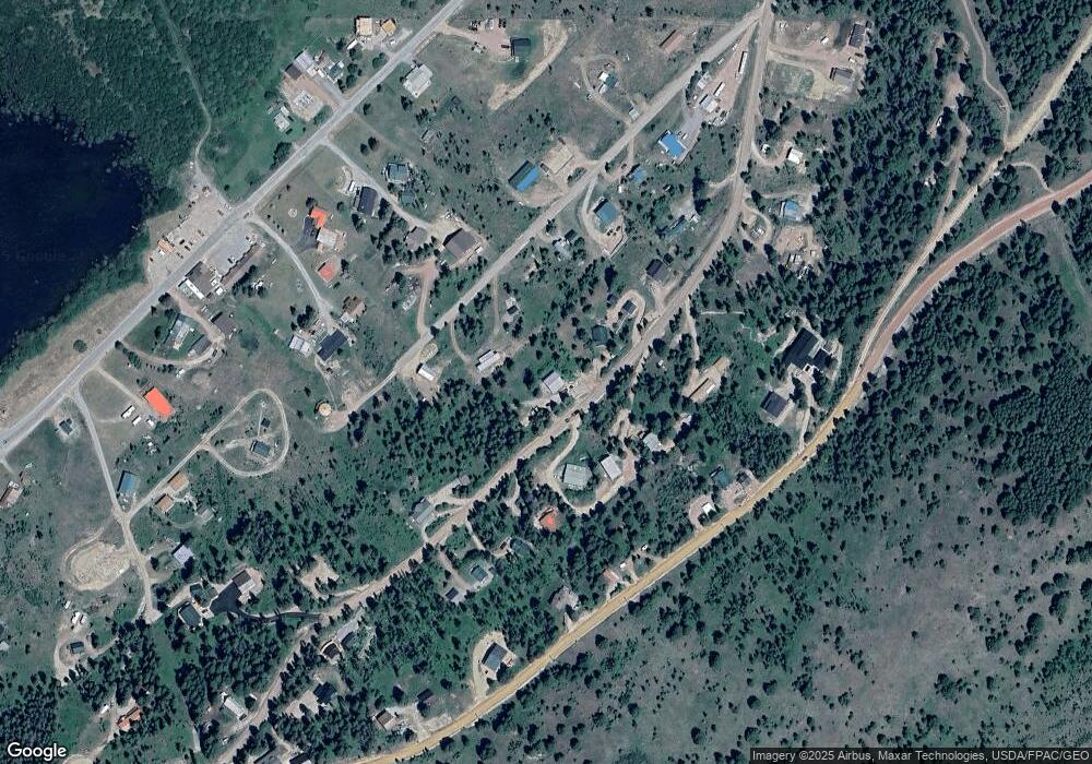
Map
Nearby Homes
- 617 Fire Ln
- 16 Mule Deer Ln
- 124 Deer Park Ln
- Lot 1 Whetstone Ridge Ct
- Lot 3 Whetstone Ridge Ct
- Lot 2 Whetstone Ridge Ct
- NHN Miners Rd
- TBD Shoot the Moon Ln
- TBD Black Bear
- Tbd Sunchild Ln
- Nhn Covellite Ln Unit Lot 9
- tbd Black Bear Ln
- Nhn Ln Unit Lot 3
- Nhn Calcite Ln Unit Lot 23
- Nhn Argentite Ln Unit Lot 16
- Nhn Argentite Ln Unit Lot 13
- NHN (1.78+/- acres) Sunchild Ln
- TBD (5.4+/- acres) Gold Coin Ln
- TBD (5.37+/- acres) Gold Coin Ln
- 0 Nhn (2) Highway 1 Lot Unit WP002
- 384 Fire Ln
- 000 Duck Ln
- 000 Duck Ln Unit Georgetown Lake
- 177 Lodgepole Ln
- 175 Lodgepole Ln
- 175 Lodgepole Ln E
- 332 Fire Ln
- 332 Fire Ln Unit Georgetown Lake
- 405 Fire Ln
- 390 Fire Ln
- 355 Fire Ln
- 387 Fire Ln
- 233 Lodgepole Ln
- 397 Lodgepole Ln
- 265 Fire Ln
- 330 Fire Ln
- 236 Fire Ln
- 313 Fire Ln
- 389 Fire Ln
- 113 Lodgepole Ln E