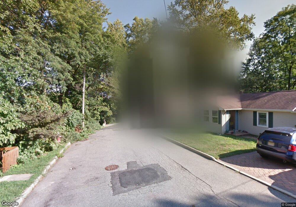
340 Forrest Ave Matawan, NJ 07747
Estimated Value: $525,000 - $624,187
3
Beds
3
Baths
1,316
Sq Ft
$427/Sq Ft
Est. Value
About This Home
This home is located at 340 Forrest Ave, Matawan, NJ 07747 and is currently estimated at $562,047, approximately $427 per square foot. 340 Forrest Ave is a home located in Monmouth County with nearby schools including Matawan Reg High School, St. Joseph Elementary School, and Icob Academy.
Ownership History
Date
Name
Owned For
Owner Type
Purchase Details
Closed on
Jul 22, 2020
Sold by
Holt Knut and Estate Of Randi H Ganson
Bought by
Horakh Steven M
Current Estimated Value
Home Financials for this Owner
Home Financials are based on the most recent Mortgage that was taken out on this home.
Original Mortgage
$339,636
Outstanding Balance
$300,032
Interest Rate
2.9%
Mortgage Type
VA
Estimated Equity
$262,015
Purchase Details
Closed on
Jun 22, 2012
Sold by
Ganson Randi H
Bought by
Ganson Randi H
Create a Home Valuation Report for This Property
The Home Valuation Report is an in-depth analysis detailing your home's value as well as a comparison with similar homes in the area
Home Values in the Area
Average Home Value in this Area
Purchase History
| Date | Buyer | Sale Price | Title Company |
|---|---|---|---|
| Horakh Steven M | $325,000 | Chicago Title Insurance Co | |
| Ganson Randi H | -- | None Available |
Source: Public Records
Mortgage History
| Date | Status | Borrower | Loan Amount |
|---|---|---|---|
| Open | Horakh Steven M | $339,636 |
Source: Public Records
Tax History Compared to Growth
Tax History
| Year | Tax Paid | Tax Assessment Tax Assessment Total Assessment is a certain percentage of the fair market value that is determined by local assessors to be the total taxable value of land and additions on the property. | Land | Improvement |
|---|---|---|---|---|
| 2025 | $10,987 | $543,900 | $279,000 | $264,900 |
| 2024 | $10,698 | $503,300 | $292,500 | $210,800 |
| 2023 | $10,698 | $492,100 | $283,500 | $208,600 |
| 2022 | $9,906 | $412,000 | $213,300 | $198,700 |
| 2021 | $7,370 | $364,600 | $183,600 | $181,000 |
| 2020 | $9,669 | $353,400 | $174,600 | $178,800 |
| 2019 | $9,429 | $345,400 | $171,000 | $174,400 |
| 2018 | $9,399 | $338,700 | $166,500 | $172,200 |
| 2017 | $9,188 | $326,400 | $157,500 | $168,900 |
| 2016 | $8,811 | $319,700 | $153,000 | $166,700 |
| 2015 | $7,819 | $285,900 | $139,500 | $146,400 |
| 2014 | $7,807 | $286,500 | $135,000 | $151,500 |
Source: Public Records
Map
Nearby Homes
- 1 Forrest Ave
- 243 Harding Blvd
- 3 Forrest Ave
- 245 Harding Blvd
- 341 Forrest Ave
- 123 Washington Ave
- 7 Grant St
- 125 Washington Ave
- 5 Grant St
- 127 Washington Ave
- 345 Forrest Ave
- 122 Washington Ave
- 131 Washington Ave
- 3 Grant St
- 8 Grant St
- 8 Grant St
- 283 Nathan Ct
- 247 Harding Blvd
- 133 Washington Ave
- 121 Washington Ave