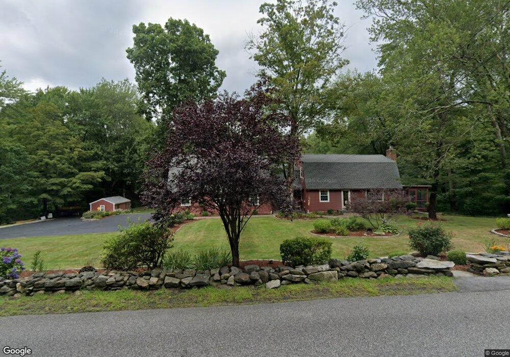
340 Glendale Rd Wilbraham, MA 01095
Estimated Value: $569,000 - $714,000
4
Beds
3
Baths
3,050
Sq Ft
$207/Sq Ft
Est. Value
About This Home
This home is located at 340 Glendale Rd, Wilbraham, MA 01095 and is currently estimated at $631,568, approximately $207 per square foot. 340 Glendale Rd is a home located in Hampden County with nearby schools including Minnechaug Regional High School and Wilbraham & Monson Academy.
Ownership History
Date
Name
Owned For
Owner Type
Purchase Details
Closed on
Mar 19, 2021
Sold by
Dole Timothy J and Doyle Michelle G
Bought by
Doyle Timothy J and Doyle Michelle G
Current Estimated Value
Purchase Details
Closed on
Jul 1, 2004
Sold by
William B Leonard 1996
Bought by
Doyle Michelle G and Dole Timothy J
Home Financials for this Owner
Home Financials are based on the most recent Mortgage that was taken out on this home.
Original Mortgage
$280,000
Interest Rate
6.3%
Mortgage Type
Purchase Money Mortgage
Create a Home Valuation Report for This Property
The Home Valuation Report is an in-depth analysis detailing your home's value as well as a comparison with similar homes in the area
Home Values in the Area
Average Home Value in this Area
Purchase History
| Date | Buyer | Sale Price | Title Company |
|---|---|---|---|
| Doyle Timothy J | -- | None Available | |
| Doyle Michelle G | $350,000 | -- |
Source: Public Records
Mortgage History
| Date | Status | Borrower | Loan Amount |
|---|---|---|---|
| Previous Owner | Doyle Michelle G | $280,000 | |
| Previous Owner | Doyle Michelle G | $52,500 |
Source: Public Records
Tax History Compared to Growth
Tax History
| Year | Tax Paid | Tax Assessment Tax Assessment Total Assessment is a certain percentage of the fair market value that is determined by local assessors to be the total taxable value of land and additions on the property. | Land | Improvement |
|---|---|---|---|---|
| 2025 | $9,087 | $508,200 | $97,900 | $410,300 |
| 2024 | $8,697 | $470,100 | $97,900 | $372,200 |
| 2023 | $7,817 | $414,700 | $97,900 | $316,800 |
| 2022 | $7,817 | $381,500 | $97,900 | $283,600 |
| 2021 | $7,189 | $313,100 | $107,500 | $205,600 |
| 2020 | $7,007 | $313,100 | $107,500 | $205,600 |
| 2019 | $6,828 | $313,200 | $107,500 | $205,700 |
| 2018 | $6,821 | $301,300 | $107,500 | $193,800 |
| 2017 | $6,629 | $301,300 | $107,500 | $193,800 |
| 2016 | $6,361 | $294,500 | $114,200 | $180,300 |
| 2015 | $6,149 | $294,500 | $114,200 | $180,300 |
Source: Public Records
Map
Nearby Homes
- 182 Mountain Rd
- 474-480 Mountain Rd
- 474 Mountain Rd
- 2 Vista Rd
- 20 Old Orchard Rd
- 54 High Pine Cir
- 69 High Pine Cir
- 38 King Dr
- 60 Lakeshore Dr
- 225 Maynard Rd
- 12 Highridge Rd
- 2 Bayberry Dr Unit 51
- 6 Hilltop Park
- 35 Lake Dr
- 4 Hillcrest Dr
- 6 Hawthorne Rd
- 28 Decorie Dr
- 88-90 Miller St
- 319 Ventura St
- 8 Patriot Ridge Ln
- 336 Glendale Rd
- 344 Glendale Rd
- 343 Glendale Rd
- 331 Glendale Rd
- 347 Glendale Rd
- 348 Glendale Rd
- 329 Glendale Rd
- 351 Glendale Rd
- 330 Glendale Rd
- 342V Glendale Rd
- 325 Glendale Rd
- 355 Glendale Rd
- 390 Glendale Rd
- 370 Glendale Rd
- 370 Glendale Rd
- 324 Glendale Rd
- 321 Glendale Rd
- 398 Glendale Rd
- 318 Glendale Rd
- 356 Mountain Rd