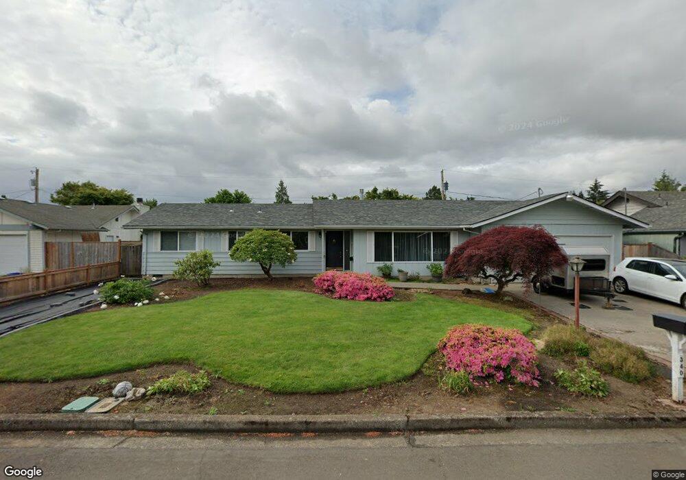
340 Hatton Ave Eugene, OR 97404
River Road NeighborhoodEstimated Value: $432,000 - $461,635
3
Beds
2
Baths
1,688
Sq Ft
$266/Sq Ft
Est. Value
About This Home
This home is located at 340 Hatton Ave, Eugene, OR 97404 and is currently estimated at $448,409, approximately $265 per square foot. 340 Hatton Ave is a home located in Lane County with nearby schools including Howard Elementary School, Kelly Middle School, and North Eugene High School.
Ownership History
Date
Name
Owned For
Owner Type
Purchase Details
Closed on
Oct 18, 2024
Sold by
Handy Melinda and Stewart Jimmy A
Bought by
Jones Philip
Current Estimated Value
Home Financials for this Owner
Home Financials are based on the most recent Mortgage that was taken out on this home.
Original Mortgage
$360,000
Outstanding Balance
$355,860
Interest Rate
6.35%
Mortgage Type
Seller Take Back
Estimated Equity
$92,549
Create a Home Valuation Report for This Property
The Home Valuation Report is an in-depth analysis detailing your home's value as well as a comparison with similar homes in the area
Home Values in the Area
Average Home Value in this Area
Purchase History
| Date | Buyer | Sale Price | Title Company |
|---|---|---|---|
| Jones Philip | $360,000 | Cascade Title |
Source: Public Records
Mortgage History
| Date | Status | Borrower | Loan Amount |
|---|---|---|---|
| Open | Jones Philip | $360,000 |
Source: Public Records
Tax History
| Year | Tax Paid | Tax Assessment Tax Assessment Total Assessment is a certain percentage of the fair market value that is determined by local assessors to be the total taxable value of land and additions on the property. | Land | Improvement |
|---|---|---|---|---|
| 2025 | $4,191 | $249,489 | -- | -- |
| 2024 | $3,935 | $242,223 | -- | -- |
| 2023 | $3,935 | $223,220 | $0 | $0 |
| 2022 | $3,701 | $216,719 | $0 | $0 |
| 2021 | $3,442 | $210,407 | $0 | $0 |
| 2020 | $3,466 | $204,279 | $0 | $0 |
| 2019 | $3,344 | $198,330 | $0 | $0 |
| 2018 | $3,119 | $186,946 | $0 | $0 |
| 2017 | $2,989 | $186,946 | $0 | $0 |
| 2016 | $2,865 | $181,501 | $0 | $0 |
| 2015 | $2,759 | $176,215 | $0 | $0 |
| 2014 | $2,758 | $171,083 | $0 | $0 |
Source: Public Records
Map
Nearby Homes
- 1360 Andersen Ln
- 1420 Evergreen Dr
- 1483 Barton St
- 1487 Barton St
- 1555 Escalante St
- 1685 Evergreen Dr
- 1314 Dalton Dr
- 1010 Horn Ln
- 389 Maxwell Rd
- 172 Norman Ave
- 154 Norman Ave
- 260 Greenleaf Ave
- 1880 Manihi Dr
- 1566 Maywood Ave
- 1010 N Park Ave
- 1682 Hemlock St
- 788 Cornwall Ave
- 1633 Zoe Ave
- 32 Marion Ln
- 895 Glory Dr
- 362 Hatton Ave
- 322 Hatton Ave
- 251 Harvey Ave
- 273 Harvey Ave
- 227 Harvey Ave
- 378 Hatton Ave
- 1406 Barton Dr
- 1403 Barton Dr
- 310 Hatton Ave
- 289 Harvey Ave
- 209 Harvey Ave
- 1415 Barton Dr
- 1415 Barton St
- 1418 Barton Dr
- 309 Hatton Ave
- 1409 Parnell Dr
- 242 Harvey Ave
- 295 Harvey Ave
- 385 Hatton Ave
- 205 Harvey Ave
Your Personal Tour Guide
Ask me questions while you tour the home.