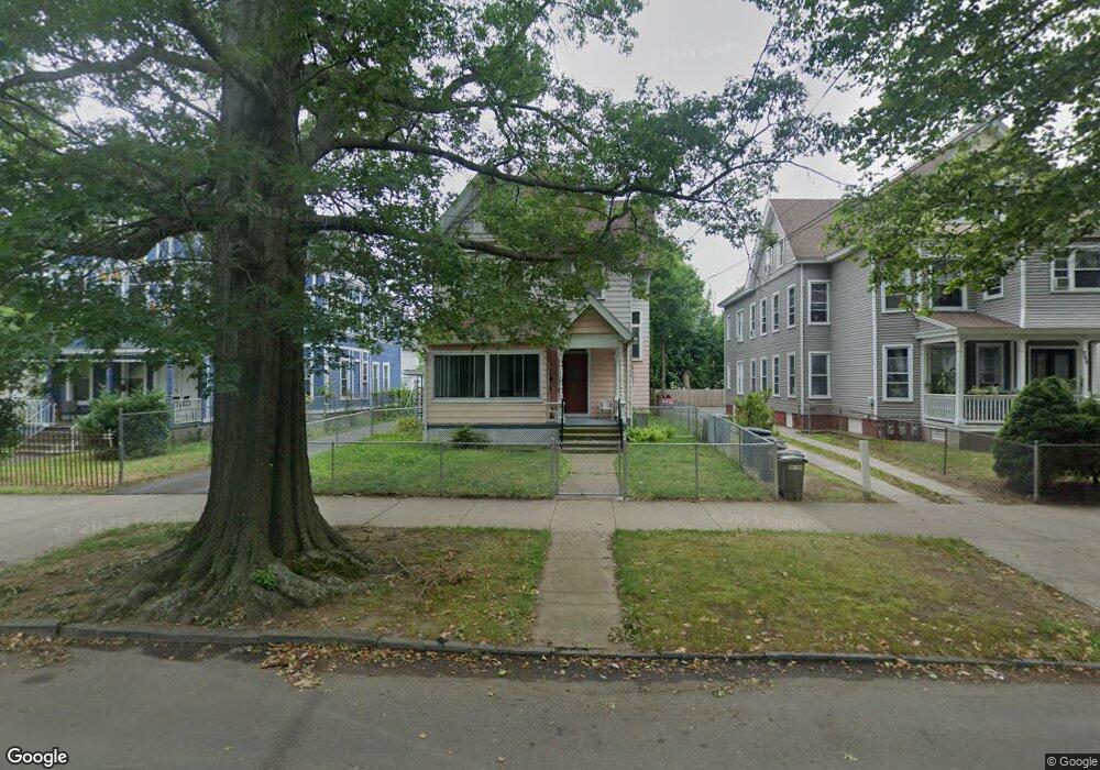
340 Howard Ave New Haven, CT 06519
The Hill NeighborhoodEstimated Value: $277,000 - $422,000
4
Beds
3
Baths
2,826
Sq Ft
$121/Sq Ft
Est. Value
About This Home
This home is located at 340 Howard Ave, New Haven, CT 06519 and is currently estimated at $342,785, approximately $121 per square foot. 340 Howard Ave is a home located in New Haven County with nearby schools including St Martin De Porres Academy.
Ownership History
Date
Name
Owned For
Owner Type
Purchase Details
Closed on
Jul 30, 2004
Sold by
Galarza Henry
Bought by
Rodriguez Felis R
Current Estimated Value
Home Financials for this Owner
Home Financials are based on the most recent Mortgage that was taken out on this home.
Original Mortgage
$135,000
Interest Rate
6.33%
Mortgage Type
Purchase Money Mortgage
Purchase Details
Closed on
Jan 22, 1993
Sold by
Alvarez Juan D
Bought by
Galarza Henry and Galarza Yesmin
Create a Home Valuation Report for This Property
The Home Valuation Report is an in-depth analysis detailing your home's value as well as a comparison with similar homes in the area
Home Values in the Area
Average Home Value in this Area
Purchase History
| Date | Buyer | Sale Price | Title Company |
|---|---|---|---|
| Rodriguez Felis R | $165,000 | -- | |
| Galarza Henry | $125,000 | -- |
Source: Public Records
Mortgage History
| Date | Status | Borrower | Loan Amount |
|---|---|---|---|
| Open | Galarza Henry | $185,000 | |
| Closed | Galarza Henry | $135,000 |
Source: Public Records
Tax History Compared to Growth
Tax History
| Year | Tax Paid | Tax Assessment Tax Assessment Total Assessment is a certain percentage of the fair market value that is determined by local assessors to be the total taxable value of land and additions on the property. | Land | Improvement |
|---|---|---|---|---|
| 2025 | $6,881 | $174,650 | $22,400 | $152,250 |
| 2024 | $6,724 | $174,650 | $22,400 | $152,250 |
| 2023 | $6,497 | $174,650 | $22,400 | $152,250 |
| 2022 | $6,942 | $174,650 | $22,400 | $152,250 |
| 2021 | $4,454 | $101,500 | $19,320 | $82,180 |
| 2020 | $4,454 | $101,500 | $19,320 | $82,180 |
| 2019 | $4,362 | $101,500 | $19,320 | $82,180 |
| 2018 | $4,362 | $101,500 | $19,320 | $82,180 |
| 2017 | $3,926 | $101,500 | $19,320 | $82,180 |
| 2016 | $3,249 | $78,190 | $12,250 | $65,940 |
| 2015 | $3,249 | $78,190 | $12,250 | $65,940 |
| 2014 | $3,249 | $78,190 | $12,250 | $65,940 |
Source: Public Records
Map
Nearby Homes
- 82 1st St
- 32 Lamberton St
- 133 Plymouth St
- 26 Lamberton St
- 148 Plymouth St
- 23 Dewitt St
- 76 3rd St
- 41 Cassius St
- 51 Arthur St
- 211 Kimberly Ave
- 46 Hurlburt St
- 148 Rosette St
- 533 Howard Ave
- 134 Greenwich Ave
- 25 Liberty St Unit E
- 33 Liberty St Unit M
- 46 Liberty St
- 300 Harbour Close Unit R
- 81 S Water St
- 45 Frank St
- 344 Howard Ave
- 332 Howard Ave
- 77 1st St
- 348 Howard Ave
- 352 Howard Ave
- 356 Howard Ave
- 78 1st St
- 451 Greenwich Ave
- 445 Greenwich Ave
- 360 Howard Ave
- 318 Howard Ave
- 80 1st St
- 349 Howard Ave
- 349 Howard Ave Unit 2
- 349 Howard Ave Unit 3
- 431 Greenwich Ave
- 431 Greenwich Ave Unit 1
- 337 Howard Ave
- 341 Howard Ave
- 364 Howard Ave