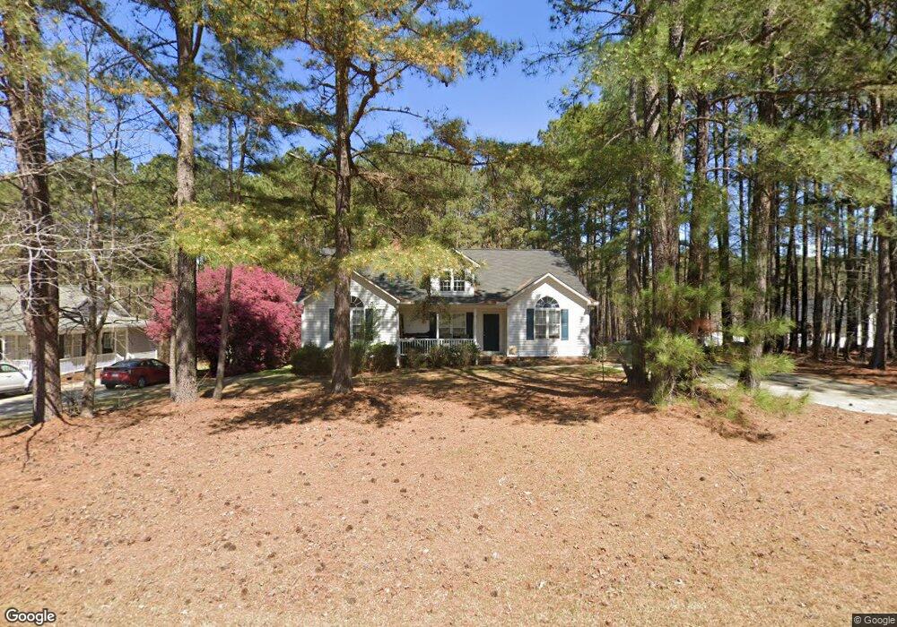
340 Lassiter Farms Ln Clayton, NC 27520
Cleveland NeighborhoodEstimated Value: $319,312 - $354,000
3
Beds
2
Baths
1,608
Sq Ft
$208/Sq Ft
Est. Value
About This Home
This home is located at 340 Lassiter Farms Ln, Clayton, NC 27520 and is currently estimated at $334,828, approximately $208 per square foot. 340 Lassiter Farms Ln is a home located in Johnston County with nearby schools including Cleveland Elementary School, Cleveland Middle School, and Cleveland High School.
Ownership History
Date
Name
Owned For
Owner Type
Purchase Details
Closed on
Nov 15, 2019
Sold by
Mupr 3 Assets Llc
Bought by
Cpi Amherst Sfr Program Owner Llc
Current Estimated Value
Purchase Details
Closed on
Jul 17, 2019
Sold by
Reese Carl E and Reese Sharon Terah
Bought by
Mupr 3 Assets Llc
Purchase Details
Closed on
Jan 15, 2004
Sold by
Reese Carl E
Bought by
Parker Homes Inc
Purchase Details
Closed on
Jul 31, 2003
Sold by
Parker Homes Inc
Bought by
Deuce Investments Inc
Create a Home Valuation Report for This Property
The Home Valuation Report is an in-depth analysis detailing your home's value as well as a comparison with similar homes in the area
Home Values in the Area
Average Home Value in this Area
Purchase History
| Date | Buyer | Sale Price | Title Company |
|---|---|---|---|
| Cpi Amherst Sfr Program Owner Llc | $274,000 | None Available | |
| Mupr 3 Assets Llc | $169,000 | None Available | |
| Parker Homes Inc | $143,000 | -- | |
| Deuce Investments Inc | -- | -- |
Source: Public Records
Tax History Compared to Growth
Tax History
| Year | Tax Paid | Tax Assessment Tax Assessment Total Assessment is a certain percentage of the fair market value that is determined by local assessors to be the total taxable value of land and additions on the property. | Land | Improvement |
|---|---|---|---|---|
| 2025 | $1,906 | $300,110 | $82,620 | $217,490 |
| 2024 | $1,450 | $179,000 | $44,060 | $134,940 |
| 2023 | $1,401 | $179,000 | $44,060 | $134,940 |
| 2022 | $1,472 | $179,000 | $44,060 | $134,940 |
| 2021 | $1,472 | $179,000 | $44,060 | $134,940 |
| 2020 | $1,490 | $179,000 | $44,060 | $134,940 |
| 2019 | $1,116 | $179,000 | $44,060 | $134,940 |
| 2018 | $750 | $132,990 | $29,380 | $103,610 |
| 2017 | $750 | $132,990 | $29,380 | $103,610 |
| 2016 | $750 | $132,990 | $29,380 | $103,610 |
| 2015 | $750 | $132,990 | $29,380 | $103,610 |
| 2014 | $750 | $132,990 | $29,380 | $103,610 |
Source: Public Records
Map
Nearby Homes
- 208 Hunting Lodge Rd
- 619 Rudy Dr
- 147 E Wellesley Dr
- 99 Barton Bay Ln
- 211 Mary Sandra Place
- The Buford II Plan at Wellesley
- The Harrington Plan at Wellesley
- The Caldwell Plan at Wellesley
- The Braselton II Plan at Wellesley
- The Greenbrier II Plan at Wellesley
- The Bradley Plan at Wellesley
- The McGinnis Plan at Wellesley
- 84 Commons Cir
- 280 Ambassador Dr
- 290 Ambassador Dr
- 305 Ambassador Dr
- 302 Ambassador Dr
- 320 Ambassador Dr
- 330 Ambassador Dr
- 117 Primrose Ln
- 356 Lassiter Farms Ln
- 25 Moser Place
- 49 Moser Place
- 374 Lassiter Farms Ln
- 67 Moser Place
- 331 Lassiter Farms Ln
- 398 Lassiter Farms Ln
- 361 Lassiter Farms Ln
- 303 Lassiter Farms Ln
- 389 Lassiter Farms Ln
- 20 Moser Place
- 46 Moser Place
- 275 Lassiter Farms Ln
- 74 Moser Place
- 410 Lassiter Farms Ln
- 81 Moser Place
- 89 Moser Place
- 415 Lassiter Farms Ln
- 425 Lassiter Farms Ln
- 245 Lassiter Farms Ln