340 Maple St Hinckley, IL 60520
Estimated Value: $280,000 - $330,000
Studio
--
Bath
--
Sq Ft
0.43
Acres
About This Home
This home is located at 340 Maple St, Hinckley, IL 60520 and is currently estimated at $306,878. 340 Maple St is a home located in DeKalb County with nearby schools including Hinckley-Big Rock Elementary School and Hinckley-Big Rock High School.
Ownership History
Date
Name
Owned For
Owner Type
Purchase Details
Closed on
Nov 24, 2020
Sold by
Snyder William
Bought by
Snyder William and Snyder Sharon
Current Estimated Value
Home Financials for this Owner
Home Financials are based on the most recent Mortgage that was taken out on this home.
Original Mortgage
$120,200
Interest Rate
2.99%
Mortgage Type
New Conventional
Create a Home Valuation Report for This Property
The Home Valuation Report is an in-depth analysis detailing your home's value as well as a comparison with similar homes in the area
Home Values in the Area
Average Home Value in this Area
Purchase History
| Date | Buyer | Sale Price | Title Company |
|---|---|---|---|
| Snyder William | -- | First Source Title Agency |
Source: Public Records
Mortgage History
| Date | Status | Borrower | Loan Amount |
|---|---|---|---|
| Closed | Snyder William | $120,200 |
Source: Public Records
Tax History
| Year | Tax Paid | Tax Assessment Tax Assessment Total Assessment is a certain percentage of the fair market value that is determined by local assessors to be the total taxable value of land and additions on the property. | Land | Improvement |
|---|---|---|---|---|
| 2024 | $6,003 | $87,069 | $26,090 | $60,979 |
| 2023 | $6,003 | $79,334 | $23,772 | $55,562 |
| 2022 | $5,442 | $71,835 | $21,525 | $50,310 |
| 2021 | $5,603 | $68,794 | $20,614 | $48,180 |
| 2020 | $5,436 | $65,718 | $19,692 | $46,026 |
| 2019 | $5,358 | $64,613 | $19,361 | $45,252 |
| 2018 | $5,398 | $62,110 | $18,611 | $43,499 |
| 2017 | $5,178 | $58,440 | $17,511 | $40,929 |
| 2016 | $4,992 | $54,616 | $16,365 | $38,251 |
| 2015 | -- | $50,702 | $15,192 | $35,510 |
| 2014 | -- | $50,171 | $15,033 | $35,138 |
| 2013 | -- | $50,474 | $15,124 | $35,350 |
Source: Public Records
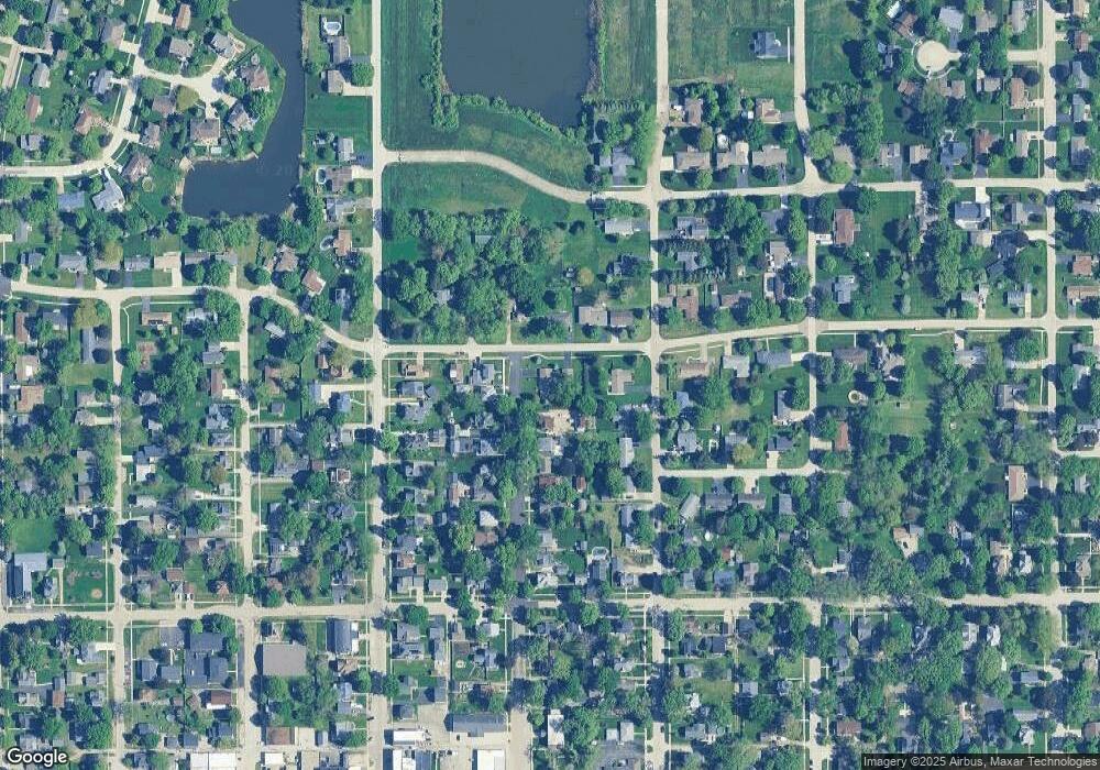
Map
Nearby Homes
- 100 E Miller Ave
- 140 Prairie St
- 300 N Garfield St
- 520 N Oak St
- 541 N Oak St
- 610 N Sycamore St
- 250 N View St
- 531 Prairie St
- 527 Prairie St
- 170 Christensen St
- 210 Christensen St
- 230 Christensen St
- 670 N Sycamore St
- Siena II Plan at Royal Estates
- Starling Plan at Royal Estates
- Meadowlark Plan at Royal Estates
- Townsend Plan at Royal Estates
- Brighton Plan at Royal Estates
- Wren Plan at Royal Estates
- 621 N Oak St
Your Personal Tour Guide
Ask me questions while you tour the home.