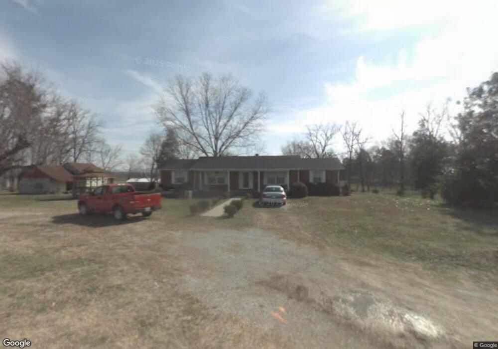
340 Mcclain Rd Morrison, TN 37357
Estimated Value: $322,000 - $990,932
Studio
2
Baths
1,738
Sq Ft
$298/Sq Ft
Est. Value
About This Home
This home is located at 340 Mcclain Rd, Morrison, TN 37357 and is currently estimated at $518,233, approximately $298 per square foot. 340 Mcclain Rd is a home located in Warren County with nearby schools including Morrison Elementary School and Warren County High School.
Ownership History
Date
Name
Owned For
Owner Type
Purchase Details
Closed on
Aug 2, 2013
Sold by
Mcclain Richard
Bought by
Helton Steve and Helton Nancy
Current Estimated Value
Purchase Details
Closed on
Dec 21, 2012
Sold by
Mcclain Richard
Bought by
Helton Steven D and Helton Hillary M
Purchase Details
Closed on
Jan 14, 2003
Sold by
Mcclain Richard Trustee
Bought by
Richard Mcclain
Purchase Details
Closed on
Dec 23, 1982
Bought by
Mcclain Richard Trustee
Purchase Details
Closed on
May 27, 1969
Create a Home Valuation Report for This Property
The Home Valuation Report is an in-depth analysis detailing your home's value as well as a comparison with similar homes in the area
Purchase History
| Date | Buyer | Sale Price | Title Company |
|---|---|---|---|
| Helton Steve | $341,309 | -- | |
| Helton Steven D | $20,000 | -- | |
| Richard Mcclain | -- | -- | |
| Mcclain Richard Trustee | -- | -- | |
| -- | -- | -- |
Source: Public Records
Tax History
| Year | Tax Paid | Tax Assessment Tax Assessment Total Assessment is a certain percentage of the fair market value that is determined by local assessors to be the total taxable value of land and additions on the property. | Land | Improvement |
|---|---|---|---|---|
| 2025 | $854 | $70,600 | $11,700 | $58,900 |
| 2024 | $845 | $42,925 | $5,125 | $37,800 |
| 2023 | $845 | $42,925 | $5,125 | $37,800 |
| 2022 | $845 | $42,925 | $5,125 | $37,800 |
| 2021 | $845 | $42,925 | $5,125 | $37,800 |
| 2020 | $641 | $42,925 | $5,125 | $37,800 |
| 2019 | $733 | $32,625 | $4,525 | $28,100 |
| 2018 | $641 | $32,625 | $4,525 | $28,100 |
| 2017 | $641 | $32,625 | $4,525 | $28,100 |
| 2016 | $641 | $32,625 | $4,525 | $28,100 |
| 2015 | $651 | $32,625 | $4,525 | $28,100 |
| 2014 | $570 | $32,625 | $4,525 | $28,100 |
| 2013 | $570 | $28,578 | $0 | $0 |
Source: Public Records
Map
Nearby Homes
- 00 Marcrom Rd
- 0 Marcrom Rd
- 6579 Vervilla Rd
- 2357 Beacon Light Rd Unit 1
- 2100 Beacon Light Rd Unit 6
- 2100 Beacon Light Rd Unit 4
- 2100 Beacon Light Rd Unit 8
- 2100 Beacon Light Rd Unit 9
- 2357 Beacon Light Rd
- 2100 Beacon Light Rd Unit 3
- 2100 Beacon Light Rd Unit 11
- 2100 Beacon Light Rd Unit 5
- 2100 Beacon Light Rd Unit 10
- 2100 Beacon Light Rd Unit 7
- 2100 Beacon Light Rd
- 2100 Beacon Light Rd Unit 2
- 431 S Fair St
- 631 W Maple St
- 101 S Mill St
- 120 Boyd St
Your Personal Tour Guide
Ask me questions while you tour the home.