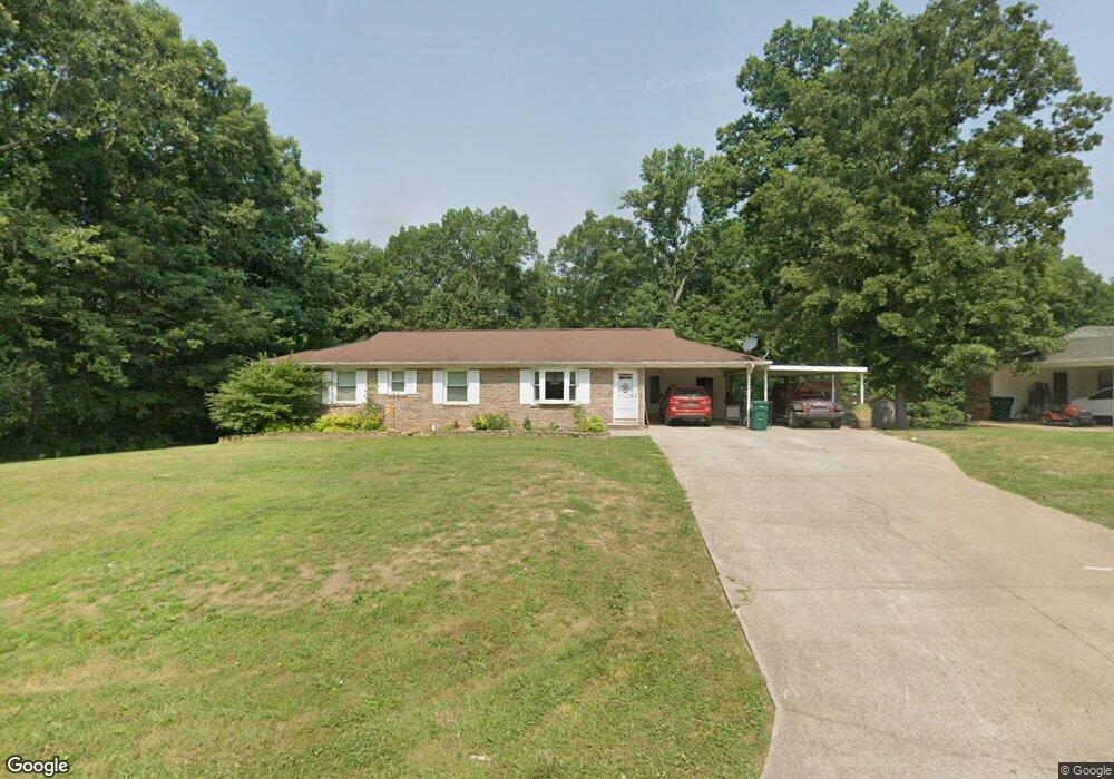
340 Powers Blvd Waverly, TN 37185
Estimated Value: $212,190 - $328,000
--
Bed
1
Bath
1,377
Sq Ft
$196/Sq Ft
Est. Value
About This Home
This home is located at 340 Powers Blvd, Waverly, TN 37185 and is currently estimated at $270,548, approximately $196 per square foot. 340 Powers Blvd is a home located in Humphreys County.
Ownership History
Date
Name
Owned For
Owner Type
Purchase Details
Closed on
Nov 21, 2014
Sold by
Kramer Nina M
Bought by
Carter Christine A and Zelinger Andrea L
Current Estimated Value
Purchase Details
Closed on
Sep 26, 2005
Sold by
Curtis John L
Bought by
Kramer Thomas E
Home Financials for this Owner
Home Financials are based on the most recent Mortgage that was taken out on this home.
Original Mortgage
$62,000
Interest Rate
5.86%
Mortgage Type
Cash
Purchase Details
Closed on
Apr 29, 2004
Sold by
Copley Joe A
Bought by
Paul Castillo
Purchase Details
Closed on
Oct 30, 1998
Bought by
Curtis John L
Purchase Details
Closed on
Jan 15, 1971
Bought by
Curtis Joe and Curtis Bertha
Create a Home Valuation Report for This Property
The Home Valuation Report is an in-depth analysis detailing your home's value as well as a comparison with similar homes in the area
Home Values in the Area
Average Home Value in this Area
Purchase History
| Date | Buyer | Sale Price | Title Company |
|---|---|---|---|
| Carter Christine A | -- | -- | |
| Kramer Thomas E | $88,000 | -- | |
| Paul Castillo | $82,400 | -- | |
| Curtis John L | $60,000 | -- | |
| Curtis Joe | -- | -- |
Source: Public Records
Mortgage History
| Date | Status | Borrower | Loan Amount |
|---|---|---|---|
| Previous Owner | Curtis Joe | $62,000 |
Source: Public Records
Tax History Compared to Growth
Tax History
| Year | Tax Paid | Tax Assessment Tax Assessment Total Assessment is a certain percentage of the fair market value that is determined by local assessors to be the total taxable value of land and additions on the property. | Land | Improvement |
|---|---|---|---|---|
| 2024 | $1,834 | $60,200 | $2,750 | $57,450 |
| 2023 | $1,835 | $60,200 | $2,750 | $57,450 |
| 2022 | $1,292 | $40,250 | $2,800 | $37,450 |
| 2021 | $1,292 | $40,250 | $2,800 | $37,450 |
| 2020 | $1,292 | $40,250 | $2,800 | $37,450 |
| 2019 | $1,061 | $33,100 | $2,750 | $30,350 |
| 2018 | $1,061 | $32,225 | $2,750 | $29,475 |
| 2017 | $802 | $24,350 | $2,750 | $21,600 |
| 2016 | $794 | $22,300 | $2,750 | $19,550 |
| 2015 | $794 | $22,300 | $2,750 | $19,550 |
| 2014 | $794 | $22,308 | $0 | $0 |
Source: Public Records
Map
Nearby Homes
- 109 Whippoorwill Dr
- 209 Pine Hill Dr
- 0 Cedar Hill Dr
- 101 Cedar Hill Dr
- 448 Powers Blvd
- 454 Powers Blvd
- 100 Browning St
- 100 Station Dr
- 130 Fairground Dr
- 205 Armstrong St
- 1006 E Main St
- 126 Fairground Dr
- 116 Fairground Dr
- 128 Washington Cir
- W Blue Creek Rd
- 131 Bern St
- 117 Sunset Dr
- 10 Bill Ct
- 15 Bill Ct
- 413 E Main St
- 342 Powers Blvd
- 338 Powers Blvd
- 210 Hillhaven Dr
- 208 Hillhaven Dr
- 344 Powers Blvd
- 341 Powers Blvd
- 206 Hillhaven Dr
- 346 Powers Blvd
- 301 Powers Blvd
- 209 Hillhaven Dr
- 345 Powers Blvd
- 299 Powers Blvd
- 347 Powers Blvd
- 205 Hillhaven Dr
- 297 Powers Blvd
- 350 Powers Blvd
- 349 Powers Blvd
- 122 Hillhaven Dr
- 125 Hillhaven Dr
- 295 Powers Blvd