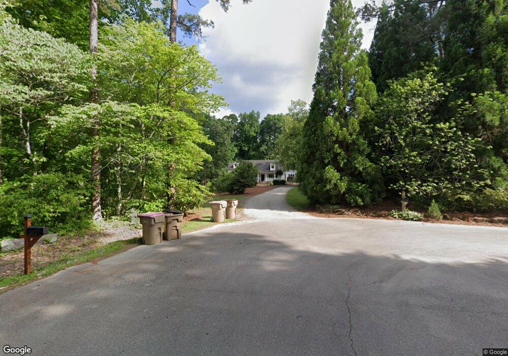
340 Red Bank Rd Alpharetta, GA 30004
Estimated Value: $715,692 - $774,000
3
Beds
2
Baths
2,426
Sq Ft
$304/Sq Ft
Est. Value
About This Home
This home is located at 340 Red Bank Rd, Alpharetta, GA 30004 and is currently estimated at $736,923, approximately $303 per square foot. 340 Red Bank Rd is a home located in Forsyth County with nearby schools including Sawnee Elementary School, Hendricks Middle School, and West Forsyth High School.
Ownership History
Date
Name
Owned For
Owner Type
Purchase Details
Closed on
Dec 11, 2006
Sold by
Walls Shannon
Bought by
Sharon Mcswain Homes Inc
Current Estimated Value
Purchase Details
Closed on
Aug 6, 2003
Sold by
Reid L Joyce
Bought by
Stancil James L and Stancil Stacy
Home Financials for this Owner
Home Financials are based on the most recent Mortgage that was taken out on this home.
Original Mortgage
$165,000
Interest Rate
5.42%
Mortgage Type
New Conventional
Create a Home Valuation Report for This Property
The Home Valuation Report is an in-depth analysis detailing your home's value as well as a comparison with similar homes in the area
Home Values in the Area
Average Home Value in this Area
Purchase History
| Date | Buyer | Sale Price | Title Company |
|---|---|---|---|
| Sharon Mcswain Homes Inc | $404,400 | -- | |
| Stancil James L | $265,000 | -- |
Source: Public Records
Mortgage History
| Date | Status | Borrower | Loan Amount |
|---|---|---|---|
| Previous Owner | Stancil James L | $165,000 |
Source: Public Records
Tax History Compared to Growth
Tax History
| Year | Tax Paid | Tax Assessment Tax Assessment Total Assessment is a certain percentage of the fair market value that is determined by local assessors to be the total taxable value of land and additions on the property. | Land | Improvement |
|---|---|---|---|---|
| 2025 | $5,593 | $277,976 | $121,456 | $156,520 |
| 2024 | $5,593 | $288,016 | $137,392 | $150,624 |
| 2023 | $5,324 | $290,276 | $151,132 | $139,144 |
| 2022 | $5,351 | $146,076 | $48,244 | $97,832 |
| 2021 | $3,614 | $146,076 | $48,244 | $97,832 |
| 2020 | $3,532 | $142,104 | $48,244 | $93,860 |
| 2019 | $3,115 | $125,332 | $48,244 | $77,088 |
| 2018 | $3,040 | $121,036 | $48,244 | $72,792 |
| 2017 | $3,427 | $138,748 | $76,912 | $61,836 |
| 2016 | $2,910 | $114,276 | $52,440 | $61,836 |
| 2015 | $2,915 | $114,276 | $52,440 | $61,836 |
| 2014 | $2,663 | $109,392 | $0 | $0 |
Source: Public Records
Map
Nearby Homes
- 6715 Bentley Trail
- 8014 Holyoke Rd
- 4235 Danbury Farms Dr
- 6645 Bentley Ridge Dr
- 7825 Brands Hatch Blvd
- 4750 Hamptons Dr
- 7880 Brands Hatch Blvd
- 5465 Tallantworth Crossing
- 4465 Mossbrook Cir
- 6515 Bentley Ridge Dr
- 7619 Campground Rd
- 4655 Hamptons Dr
- 4645 Hamptons Dr
- 6610 Tything Ct
- 5510 Bristlecone Pine Way
- 5365 Tallantworth Crossing
- 5530 Lacebark Pine Ct
- 212 Silver Birch Ct
- 360 Red Bank Rd
- 320 Red Bank Rd
- 305 Red Bank Rd
- 6725 Bentley Trail
- 295 Red Bank Rd
- 250 Red Bank Rd
- 6735 Bentley Trail
- 255 Red Bank Rd
- 240 Red Bank Rd
- 8011 Holyoke Rd
- 6730 Bentley Trail
- 330 Red Bank Rd
- 6720 Bentley Trail
- 8005 Holyoke Rd
- 6675 Bentley Trail
- 4440 Danbury Farms Dr
- 6710 Bentley Trail
- 175 Red Bank Rd
- 4450 Danbury Farms Dr
- 8010 Holyoke Rd