Estimated Value: $426,389 - $667,000
--
Bed
--
Bath
1,847
Sq Ft
$274/Sq Ft
Est. Value
About This Home
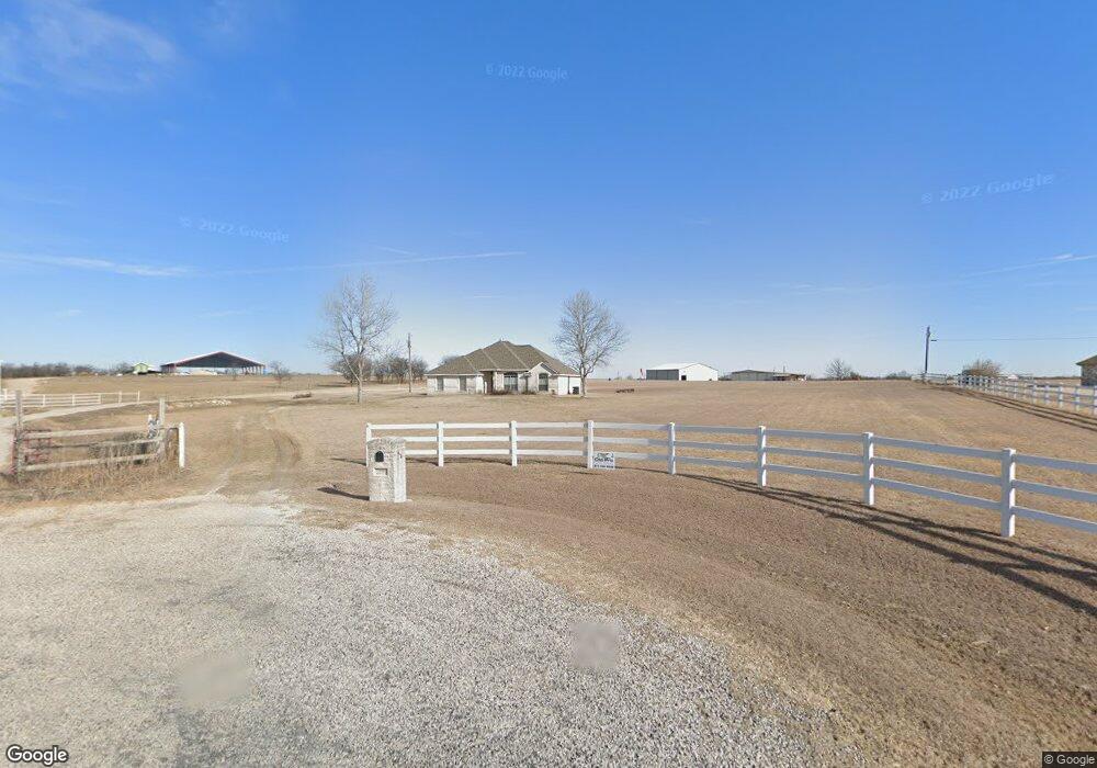
This home is located at 340 Red Baron Dr, Rhome, TX 76078 and is currently estimated at $506,347, approximately $274 per square foot. 340 Red Baron Dr is a home located in Wise County with nearby schools including Decatur High School.
Ownership History
Date
Name
Owned For
Owner Type
Purchase Details
Closed on
Mar 17, 2009
Bought by
Magerstadt David and Magerstadt Nancy
Current Estimated Value
Home Financials for this Owner
Home Financials are based on the most recent Mortgage that was taken out on this home.
Original Mortgage
$223,000
Outstanding Balance
$141,798
Interest Rate
5.13%
Mortgage Type
New Conventional
Estimated Equity
$364,549
Purchase Details
Closed on
Mar 26, 2008
Bought by
Magerstadt David and Magerstadt Nancy
Home Financials for this Owner
Home Financials are based on the most recent Mortgage that was taken out on this home.
Original Mortgage
$219,800
Interest Rate
4.99%
Mortgage Type
Adjustable Rate Mortgage/ARM
Purchase Details
Closed on
Jun 11, 2003
Sold by
Herring Tince W
Bought by
Magerstadt David and Magerstadt Nancy
Purchase Details
Closed on
Apr 10, 2000
Sold by
Love Harold D and Joy Lynne
Bought by
Magerstadt David and Magerstadt Nancy
Create a Home Valuation Report for This Property
The Home Valuation Report is an in-depth analysis detailing your home's value as well as a comparison with similar homes in the area
Home Values in the Area
Average Home Value in this Area
Purchase History
| Date | Buyer | Sale Price | Title Company |
|---|---|---|---|
| Magerstadt David | -- | -- | |
| Magerstadt David | -- | -- | |
| Magerstadt David | -- | -- | |
| Magerstadt David | -- | -- |
Source: Public Records
Mortgage History
| Date | Status | Borrower | Loan Amount |
|---|---|---|---|
| Open | Magerstadt David | $223,000 | |
| Previous Owner | Magerstadt David | $219,800 |
Source: Public Records
Tax History Compared to Growth
Tax History
| Year | Tax Paid | Tax Assessment Tax Assessment Total Assessment is a certain percentage of the fair market value that is determined by local assessors to be the total taxable value of land and additions on the property. | Land | Improvement |
|---|---|---|---|---|
| 2025 | $3,498 | $386,960 | $120,840 | $266,120 |
| 2024 | $3,498 | $378,527 | $0 | $0 |
| 2023 | $4,157 | $344,115 | $0 | $0 |
| 2022 | $6,507 | $424,054 | $125,987 | $298,067 |
| 2021 | $5,492 | $342,590 | $104,990 | $237,600 |
| 2020 | $5,146 | $340,980 | $111,990 | $228,990 |
| 2019 | $4,983 | $309,390 | $101,600 | $207,790 |
| 2018 | $4,679 | $283,440 | $78,870 | $204,570 |
| 2017 | $4,254 | $239,650 | $48,390 | $191,260 |
| 2016 | $3,969 | $237,590 | $48,390 | $189,200 |
| 2015 | -- | $219,160 | $40,790 | $178,370 |
| 2014 | -- | $211,150 | $40,110 | $171,040 |
Source: Public Records
Map
Nearby Homes
- 0 May Reed Dr
- 140 Dr
- TBD Joseph Dr
- 172 Roark Dr
- 156 Tilley Ln
- 126 Tilly Ln
- 172 Billy Jo Ln
- 279 Private Road 4418
- TBD Lot 1-3 Private Road 4219
- 0000 Private Road 4219
- 164 Ranya Loop
- 130 Longbranch Dr
- 112 Sunset Mesa Dr
- 175 Private Road 4420
- TBD Lot 3&4 Wheelis Loop
- 308 Coyote Trail
- 276 Coyote Trail
- 220 Coyote Trail
- 146 Ridge Trail
- 124 Heritage Pkwy W
- 324 Red Baron Dr
- 318 Red Baron Dr
- 321 Red Baron Dr
- 111 Haven Ct
- 312 Red Baron Dr
- 315 Red Baron Dr
- 147 Haven Ct
- 894 Heritage Creek Dr
- 0000 Haven Ct
- Lot 1 Haven Ct
- 130 Red Baron Ct
- 934 Heritage Creek Dr
- 298 Red Baron Dr
- 940 Heritage Creek Dr
- 148 Haven Ct
- 156 Haven Ct
- 296 Red Baron Dr
- 164 Haven Ct
- 0 Heritage Creek Dr Unit 10282452
- 164 Red Baron Ct