340 S Branch Rd Unit 111 Hillsborough, NJ 08844
Estimated Value: $114,168 - $224,000
--
Bed
--
Bath
--
Sq Ft
958
Sq Ft Lot
About This Home
This home is located at 340 S Branch Rd Unit 111, Hillsborough, NJ 08844 and is currently estimated at $178,056. 340 S Branch Rd Unit 111 is a home located in Somerset County with nearby schools including Hillsborough High School, Cherry Blossom Montessori School, and Brighthorizons at Hillsborough.
Ownership History
Date
Name
Owned For
Owner Type
Purchase Details
Closed on
Apr 30, 2025
Sold by
Xyz Bye Bye Llc
Bought by
Moreno Edwin
Current Estimated Value
Purchase Details
Closed on
Aug 23, 2023
Sold by
Dshc Foreclosures Llc
Bought by
Xyz Bye Bye Llc
Create a Home Valuation Report for This Property
The Home Valuation Report is an in-depth analysis detailing your home's value as well as a comparison with similar homes in the area
Home Values in the Area
Average Home Value in this Area
Purchase History
| Date | Buyer | Sale Price | Title Company |
|---|---|---|---|
| Moreno Edwin | $47,500 | Cape Atlantic Title | |
| Moreno Edwin | $47,500 | Cape Atlantic Title | |
| Xyz Bye Bye Llc | -- | None Listed On Document |
Source: Public Records
Tax History Compared to Growth
Tax History
| Year | Tax Paid | Tax Assessment Tax Assessment Total Assessment is a certain percentage of the fair market value that is determined by local assessors to be the total taxable value of land and additions on the property. | Land | Improvement |
|---|---|---|---|---|
| 2025 | $529 | $15,000 | $15,000 | -- |
| 2024 | $529 | $24,700 | $8,300 | $16,400 |
| 2023 | $532 | $24,700 | $8,300 | $16,400 |
| 2022 | $534 | $23,900 | $7,500 | $16,400 |
| 2021 | $561 | $23,900 | $7,500 | $16,400 |
| 2020 | $570 | $23,900 | $7,500 | $16,400 |
| 2019 | $575 | $23,900 | $7,500 | $16,400 |
| 2018 | $578 | $23,900 | $7,500 | $16,400 |
| 2017 | $770 | $31,900 | $20,000 | $11,900 |
| 2016 | $891 | $36,900 | $25,000 | $11,900 |
| 2015 | $880 | $36,900 | $25,000 | $11,900 |
| 2014 | $950 | $40,700 | $28,800 | $11,900 |
Source: Public Records
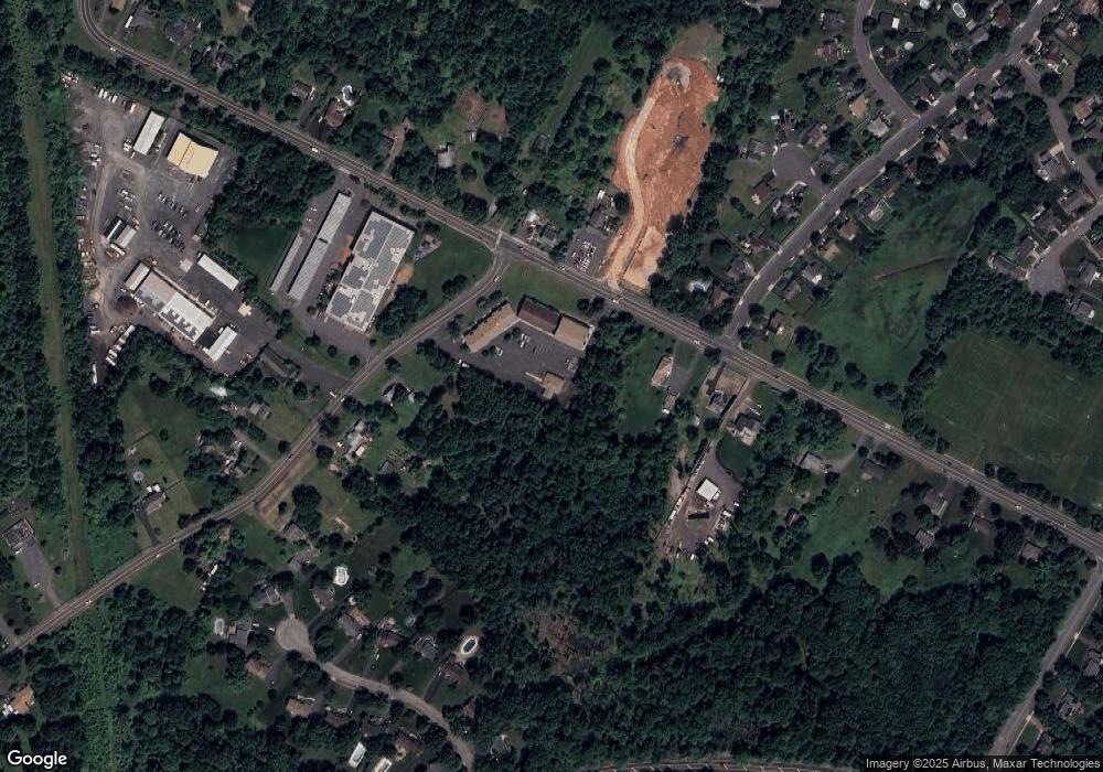
Map
Nearby Homes
- 71 Buckland Dr
- 0 Amwell Rd
- 68 Dunedain St
- 710 Whitenack Ct
- 104 Devonshire Ct
- 106 Perrine Pike
- 101 Hodge Rd
- 4 Marshall Rd
- 59 Wesley Rd
- 912 Merritt Dr Unit D
- 911 Merritt Dr Unit B2
- 897 Merritt Dr Unit D
- 277 Gemini Dr Unit 1B
- 7 Monfort Dr
- 118 Bluebird Dr Unit 3A
- 3120 Revere Ct
- 3011 Revere Ct
- 718 Mill Ln
- 3320 Richmond Ct
- 807 Eves Dr Unit 1B
- 340 S Branch Rd Unit 435
- 340 S Branch Rd Unit 434
- 340 S Branch Rd Unit 433
- 340 S Branch Rd Unit 432
- 340 S Branch Rd Unit 431
- 340 S Branch Rd Unit 430
- 340 S Branch Rd Unit 429
- 340 S Branch Rd Unit 428
- 340 S Branch Rd Unit 427
- 340 S Branch Rd Unit 425
- 340 S Branch Rd Unit 424426
- 340 S Branch Rd Unit 407
- 340 S Branch Rd Unit 405
- 340 S Branch Rd Unit 403
- 340 S Branch Rd Unit 401
- 340 S Branch Rd Unit 400
- 340 S Branch Rd Unit 127
- 340 S Branch Rd Unit 114
- 340 S Branch Rd Unit 113
- 340 S Branch Rd Unit 112