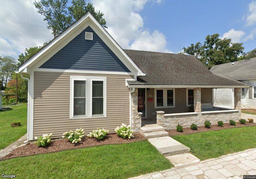
340 S Euclid Ave Bloomington, IN 47403
Prospect Hill NeighborhoodEstimated Value: $273,000 - $287,000
2
Beds
1
Bath
1,320
Sq Ft
$214/Sq Ft
Est. Value
About This Home
This home is located at 340 S Euclid Ave, Bloomington, IN 47403 and is currently estimated at $282,286, approximately $213 per square foot. 340 S Euclid Ave is a home located in Monroe County with nearby schools including Fairview Elementary School, Tri-North Middle School, and Bloomington High School North.
Ownership History
Date
Name
Owned For
Owner Type
Purchase Details
Closed on
Mar 24, 2006
Sold by
Walbridge John T
Bought by
Dalton Michael A
Current Estimated Value
Home Financials for this Owner
Home Financials are based on the most recent Mortgage that was taken out on this home.
Original Mortgage
$120,000
Outstanding Balance
$68,618
Interest Rate
6.37%
Mortgage Type
New Conventional
Estimated Equity
$213,668
Create a Home Valuation Report for This Property
The Home Valuation Report is an in-depth analysis detailing your home's value as well as a comparison with similar homes in the area
Home Values in the Area
Average Home Value in this Area
Purchase History
| Date | Buyer | Sale Price | Title Company |
|---|---|---|---|
| Dalton Michael A | -- | None Available |
Source: Public Records
Mortgage History
| Date | Status | Borrower | Loan Amount |
|---|---|---|---|
| Open | Dalton Michael A | $120,000 |
Source: Public Records
Tax History Compared to Growth
Tax History
| Year | Tax Paid | Tax Assessment Tax Assessment Total Assessment is a certain percentage of the fair market value that is determined by local assessors to be the total taxable value of land and additions on the property. | Land | Improvement |
|---|---|---|---|---|
| 2024 | $2,333 | $235,300 | $80,600 | $154,700 |
| 2023 | $1,096 | $225,600 | $73,900 | $151,700 |
| 2022 | $2,022 | $208,100 | $64,300 | $143,800 |
| 2021 | $1,633 | $174,700 | $58,600 | $116,100 |
| 2020 | $1,701 | $181,000 | $52,900 | $128,100 |
| 2019 | $1,562 | $167,700 | $32,100 | $135,600 |
| 2018 | $1,518 | $163,500 | $32,200 | $131,300 |
| 2017 | $1,472 | $160,100 | $32,200 | $127,900 |
| 2016 | $1,439 | $160,100 | $32,200 | $127,900 |
| 2014 | $1,400 | $156,900 | $32,200 | $124,700 |
Source: Public Records
Map
Nearby Homes
- 344 S Euclid Ave
- 336 S Euclid Ave
- 328 S Euclid Ave
- 400 S Euclid Ave
- 912 W Smith Ave
- 339 S Euclid Ave
- 335 S Euclid Ave
- 345 S Euclid Ave
- 908 W Howe St
- 912 W Howe St
- 401 S Euclid Ave
- 327 S Euclid Ave
- 322 S Euclid Ave
- 341 S Buckner St
- 402 S Euclid Ave
- 347 S Buckner St
- 329 S Buckner St
- 820 W Howe St
- 327 S Buckner St
- 323 S Euclid Ave