340 Saint Paul Ave Springfield, OH 45504
Cedar Hills/Broadview NeighborhoodEstimated Value: $251,000 - $273,239
About This Home
This home is located at 340 Saint Paul Ave, Springfield, OH 45504 and is currently estimated at $262,560, approximately $151 per square foot. 340 Saint Paul Ave is a home located in Clark County with nearby schools including Possum Elementary School, Shawnee Middle School/High School, and Springfield Sports Academy.
Ownership History
We collect this data history from publicly available records. To have your information removed, we recommend requesting removal directly through your county’s website.
Purchase Details
Purchase Details
Home Financials for this Owner
Home Financials are based on the most recent Mortgage that was taken out on this home.Purchase Details
Home Financials for this Owner
Home Financials are based on the most recent Mortgage that was taken out on this home.Purchase Details
Home Values in the Area
Average Home Value in this Area
Purchase History
We collect this data history from publicly available records. To have your information removed, we recommend requesting removal directly through your county’s website.
| Date | Buyer | Sale Price | Title Company |
|---|---|---|---|
| -- | None Listed On Document | ||
| $115,000 | Attorney | ||
| $125,000 | -- | ||
| $99,000 | -- |
Mortgage History
We collect this data history from publicly available records. To have your information removed, we recommend requesting removal directly through your county’s website.
| Date | Status | Borrower | Loan Amount |
|---|---|---|---|
| Previous Owner | $35,000 | ||
| Previous Owner | $94,200 | ||
| Previous Owner | $100,000 | ||
| Previous Owner | $112,500 |
Tax History
We collect this data history from publicly available records. To have your information removed, we recommend requesting removal directly through your county’s website.
| Year | Tax Paid | Tax Assessment Tax Assessment Total Assessment is a certain percentage of the fair market value that is determined by local assessors to be the total taxable value of land and additions on the property. | Land | Improvement |
|---|---|---|---|---|
| 2025 | $2,996 | $74,260 | $12,860 | $61,400 |
| 2024 | $2,918 | $59,720 | $9,310 | $50,410 |
| 2023 | $2,918 | $59,720 | $9,310 | $50,410 |
| 2022 | $2,894 | $59,720 | $9,310 | $50,410 |
| 2021 | $2,530 | $46,750 | $7,220 | $39,530 |
| 2020 | $2,551 | $46,750 | $7,220 | $39,530 |
| 2019 | $2,592 | $46,750 | $7,220 | $39,530 |
| 2018 | $2,089 | $37,170 | $6,560 | $30,610 |
| 2017 | $2,141 | $37,171 | $6,563 | $30,608 |
| 2016 | $1,932 | $37,171 | $6,563 | $30,608 |
| 2015 | $1,937 | $36,040 | $6,563 | $29,477 |
| 2014 | $1,943 | $36,040 | $6,563 | $29,477 |
| 2013 | $1,688 | $36,040 | $6,563 | $29,477 |
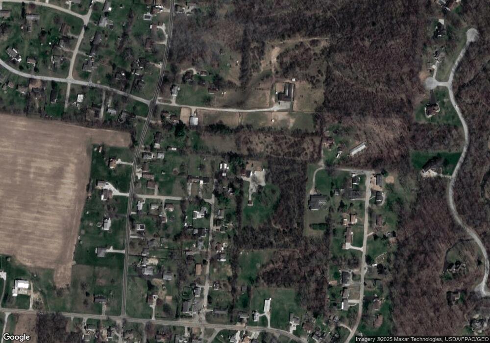
Map
- 330 Saint Paul Ave
- 3819 New Carlisle Pike
- 80 Carlisle Ave
- 3753 W National Rd
- 815 W Eva Cir
- 4461 New Carlisle Pike
- 4004 Sintz Rd
- 254 Oakridge Dr
- 422 Shrine Rd
- 2850 Locust Dr
- 3121 W Columbia St
- 2756 Cottonwood Dr
- 800 White Oak Dr
- 0 Upper Valley Pike
- 0 Upper Valley Pike
- 925 Upper Valley Pike
- 4830 Lower Valley Pike
- 2900 Dogwood Dr
- 3787 Miller Rd
- 1610 Troy Rd
- 336 Saint Paul Ave
- 341 Saint Paul Ave
- 4112 Grange Ave
- 328 Saint Paul Ave
- 329 Saint Paul Ave
- 450 Vale Rd
- 323 Saint Paul Ave
- 318 Saint Paul Ave
- 449 Woodview Dr
- 319 Saint Paul Ave
- 452 Woodview Dr
- 4120 Grange Ave
- 4119 Grange Ave
- 444 Vale Rd
- 4121 Grange Ave
- 315 Saint Paul Ave
- 428 Vale Rd
- 426 Vale Rd
- 445 Woodview Dr
- 309 Saint Paul Ave
Ask me questions while you tour the home.