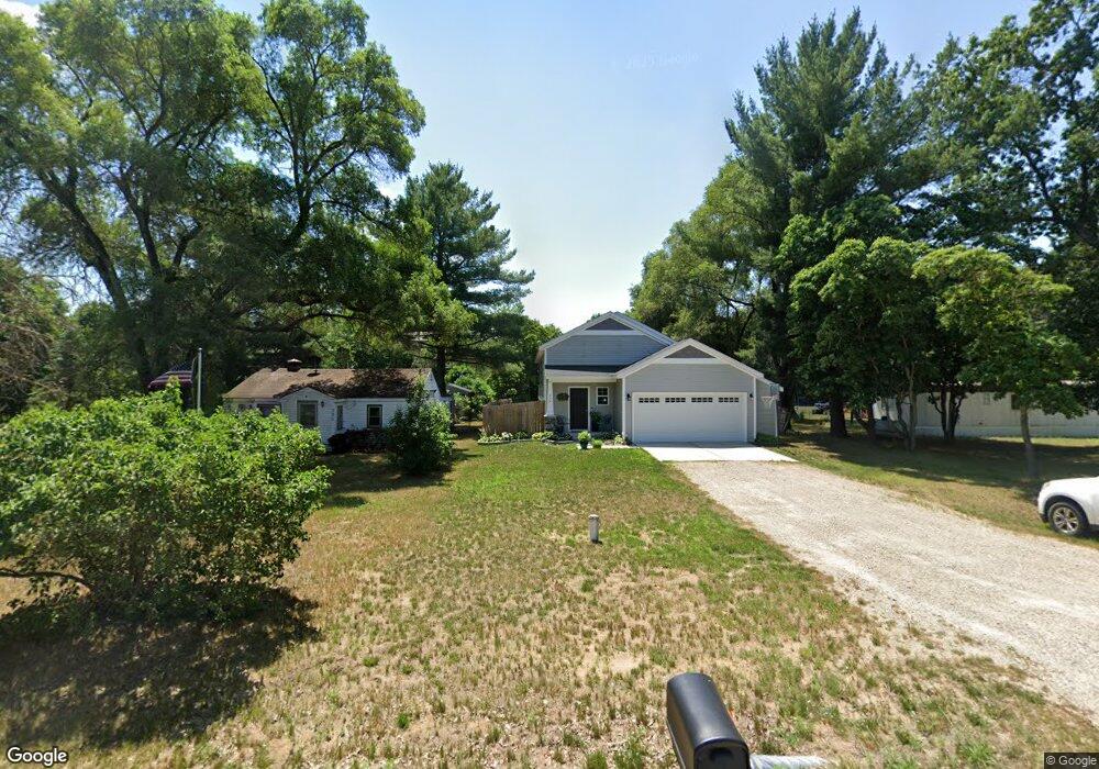
340 Solon Cedar Springs, MI 49319
Estimated Value: $300,000 - $366,000
Studio
--
Bath
1,033
Sq Ft
$323/Sq Ft
Est. Value
About This Home
This home is located at 340 Solon, Cedar Springs, MI 49319 and is currently estimated at $333,234, approximately $322 per square foot. 340 Solon is a home located in Kent County with nearby schools including Kent City Elementary School, Kent City Middle School, and Kent City High School.
Ownership History
Date
Name
Owned For
Owner Type
Purchase Details
Closed on
Oct 28, 2021
Sold by
Sable Developing Inc
Bought by
Moore Jennifer
Current Estimated Value
Home Financials for this Owner
Home Financials are based on the most recent Mortgage that was taken out on this home.
Original Mortgage
$237,500
Outstanding Balance
$217,047
Interest Rate
2.8%
Mortgage Type
New Conventional
Estimated Equity
$116,187
Purchase Details
Closed on
Mar 31, 2021
Sold by
Burclson Robert R and Burclson Timothy J
Bought by
Sable Developing Inc
Purchase Details
Closed on
Mar 11, 1977
Bought by
Burleson Brownell>Kazma and Burleson Robert R
Create a Home Valuation Report for This Property
The Home Valuation Report is an in-depth analysis detailing your home's value as well as a comparison with similar homes in the area
Home Values in the Area
Average Home Value in this Area
Purchase History
| Date | Buyer | Sale Price | Title Company |
|---|---|---|---|
| Moore Jennifer | $250,000 | None Listed On Document | |
| Sable Developing Inc | $22,000 | None Available | |
| Burleson Brownell>Kazma | $4,300 | -- |
Source: Public Records
Mortgage History
| Date | Status | Borrower | Loan Amount |
|---|---|---|---|
| Open | Moore Jennifer | $237,500 |
Source: Public Records
Tax History
| Year | Tax Paid | Tax Assessment Tax Assessment Total Assessment is a certain percentage of the fair market value that is determined by local assessors to be the total taxable value of land and additions on the property. | Land | Improvement |
|---|---|---|---|---|
| 2025 | $2,797 | $163,600 | $0 | $0 |
| 2024 | $28 | $153,100 | $0 | $0 |
| 2023 | $2,675 | $133,000 | $0 | $0 |
| 2022 | $3,458 | $115,200 | $0 | $0 |
| 2021 | $198 | $9,100 | $0 | $0 |
| 2020 | $203 | $9,100 | $0 | $0 |
| 2019 | $10,733 | $9,100 | $0 | $0 |
| 2018 | $302 | $8,100 | $0 | $0 |
| 2017 | $294 | $6,100 | $0 | $0 |
| 2016 | $287 | $6,000 | $0 | $0 |
| 2015 | -- | $6,000 | $0 | $0 |
| 2013 | -- | $7,000 | $0 | $0 |
Source: Public Records
Map
Nearby Homes
- 230 Solon St NE
- 14156 Division Ave NE
- 13625 Krauskopf Rd NE
- 871 E Harmony Dr
- 1004 Tibalew Dr NW
- 825 16 Mile Rd
- 2103 Quarter Horse Dr NE
- 14766 Sparta Ave
- 2171 Avalon View Dr NE Unit 41
- 1445 Stalhood Dr
- 2217 Quarter Horse Dr NE Unit 27
- 2358 Quarter Horse Dr
- 221 Circle Dr Unit 221
- 14551 Algoma Ave NE
- 345 Winter Pines Ct NW
- 204 Landmark St
- 2329 Quarter Horse Dr NE Unit 35
- 83 Viking Dr NW
- 91 Traveler Dr NW Unit 91
- 26 Traveler Dr NW
Your Personal Tour Guide
Ask me questions while you tour the home.