340 W Liberty St Coshocton, OH 43812
Estimated Value: $188,812 - $218,000
3
Beds
2
Baths
1,512
Sq Ft
$134/Sq Ft
Est. Value
About This Home
This home is located at 340 W Liberty St, Coshocton, OH 43812 and is currently estimated at $202,953, approximately $134 per square foot. 340 W Liberty St is a home located in Coshocton County with nearby schools including River View High School, Coshocton Christian School, and Sacred Heart School.
Ownership History
Date
Name
Owned For
Owner Type
Purchase Details
Closed on
Mar 7, 2019
Sold by
Bowman Paul M and Bowman Virginia
Bought by
Bowman Virginia and Harrison Bruce E
Current Estimated Value
Purchase Details
Closed on
Jul 7, 2017
Sold by
Tomey William and Tomey Betty J
Bought by
Bowman Virginia and Harrison Marie
Purchase Details
Closed on
Jun 5, 2009
Sold by
Tomey William and Tomey Betty J
Bought by
Tomey William and Tomey Betty J
Purchase Details
Closed on
Apr 25, 2002
Bought by
Tomey William
Purchase Details
Closed on
May 29, 1992
Sold by
Wilson Ethel L
Bought by
Tomey William
Create a Home Valuation Report for This Property
The Home Valuation Report is an in-depth analysis detailing your home's value as well as a comparison with similar homes in the area
Home Values in the Area
Average Home Value in this Area
Purchase History
| Date | Buyer | Sale Price | Title Company |
|---|---|---|---|
| Bowman Virginia | -- | None Available | |
| Bowman Virginia | -- | None Available | |
| Tomey William | -- | None Available | |
| Tomey William | -- | -- | |
| Tomey William | $16,500 | -- |
Source: Public Records
Tax History Compared to Growth
Tax History
| Year | Tax Paid | Tax Assessment Tax Assessment Total Assessment is a certain percentage of the fair market value that is determined by local assessors to be the total taxable value of land and additions on the property. | Land | Improvement |
|---|---|---|---|---|
| 2024 | $1,497 | $43,420 | $11,570 | $31,850 |
| 2023 | $1,497 | $34,381 | $7,739 | $26,642 |
| 2022 | $826 | $34,381 | $7,739 | $26,642 |
| 2021 | $1,171 | $34,381 | $7,739 | $26,642 |
| 2020 | $1,269 | $33,215 | $7,756 | $25,459 |
| 2019 | $1,282 | $33,215 | $7,756 | $25,459 |
| 2018 | $709 | $33,215 | $7,756 | $25,459 |
| 2017 | $782 | $29,376 | $6,913 | $22,463 |
| 2016 | $737 | $29,376 | $6,913 | $22,463 |
| 2015 | $216 | $29,376 | $6,913 | $22,463 |
| 2014 | $607 | $25,624 | $4,246 | $21,378 |
Source: Public Records
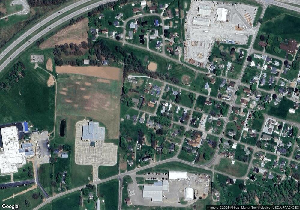
Map
Nearby Homes
- 230 Rivercrest Dr
- 217 E Liberty St
- 23749 County Road 621
- 23900 Airport Rd
- 527 N 15th St
- 1636 Trade Ave
- 216 N 15th St
- 1421 Chestnut St
- 349 N 11th St
- 1124 Chestnut St
- 358 N 8th St
- 133 N 12th St
- 624 Cemetery St
- 1706 Adams St
- 1822 Adams St
- 0 Adams St
- 1619 Adams St
- 631 Locust St
- 1711 Adams St
- 1027 Orchard St
- 342 W Liberty St
- 238 W Liberty St
- 339 W Canal St
- 343 W Canal St
- 337 W Liberty St
- 335 W Canal St
- 232 W Liberty St
- 333 W Canal St
- 345 W Liberty St
- 227 W Liberty St
- 230 W Liberty St
- 345 W Canal St
- 235 Jackson St
- 219 Jackson St
- 115 Jackson St
- 115 Jackson St
- 224 Rivercrest Dr
- 116 W Liberty St
- 116 W Liberty St
- 139 W Canal St