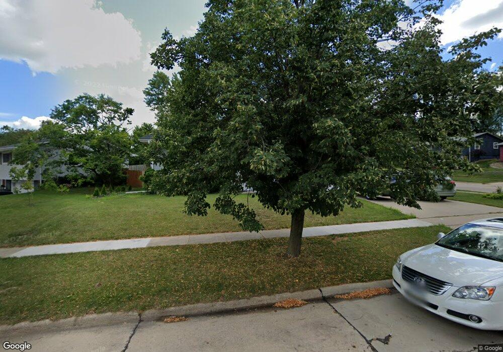
3401 Sheridan Dr SE Cedar Rapids, IA 52403
Estimated Value: $182,000 - $209,000
4
Beds
2
Baths
1,120
Sq Ft
$176/Sq Ft
Est. Value
About This Home
This home is located at 3401 Sheridan Dr SE, Cedar Rapids, IA 52403 and is currently estimated at $196,837, approximately $175 per square foot. 3401 Sheridan Dr SE is a home located in Linn County with nearby schools including Summit Elementary School, Erskine Elementary School, and McKinley STEAM Academy.
Ownership History
Date
Name
Owned For
Owner Type
Purchase Details
Closed on
Oct 4, 2006
Sold by
Hoover Judith Jennings and Dyball Jeanette J
Bought by
Hussein Leila and Abed Marwan Al
Current Estimated Value
Home Financials for this Owner
Home Financials are based on the most recent Mortgage that was taken out on this home.
Original Mortgage
$104,125
Outstanding Balance
$62,271
Interest Rate
6.5%
Mortgage Type
Unknown
Estimated Equity
$134,566
Create a Home Valuation Report for This Property
The Home Valuation Report is an in-depth analysis detailing your home's value as well as a comparison with similar homes in the area
Home Values in the Area
Average Home Value in this Area
Purchase History
| Date | Buyer | Sale Price | Title Company |
|---|---|---|---|
| Hussein Leila | -- | None Available | |
| Al Abed Marwan | $122,000 | None Available |
Source: Public Records
Mortgage History
| Date | Status | Borrower | Loan Amount |
|---|---|---|---|
| Open | Al Abed Marwan | $104,125 |
Source: Public Records
Tax History Compared to Growth
Tax History
| Year | Tax Paid | Tax Assessment Tax Assessment Total Assessment is a certain percentage of the fair market value that is determined by local assessors to be the total taxable value of land and additions on the property. | Land | Improvement |
|---|---|---|---|---|
| 2025 | $2,882 | $191,500 | $32,700 | $158,800 |
| 2024 | $3,108 | $187,500 | $32,700 | $154,800 |
| 2023 | $3,108 | $173,300 | $29,800 | $143,500 |
| 2022 | $2,916 | $156,200 | $26,800 | $129,400 |
| 2021 | $2,922 | $149,700 | $26,800 | $122,900 |
| 2020 | $2,922 | $141,000 | $20,800 | $120,200 |
| 2019 | $2,722 | $134,800 | $20,800 | $114,000 |
| 2018 | $2,512 | $134,800 | $20,800 | $114,000 |
| 2017 | $2,569 | $123,100 | $20,800 | $102,300 |
| 2016 | $2,569 | $120,900 | $20,800 | $100,100 |
| 2015 | $2,593 | $121,866 | $20,826 | $101,040 |
| 2014 | $2,408 | $121,866 | $20,826 | $101,040 |
| 2013 | $2,352 | $121,866 | $20,826 | $101,040 |
Source: Public Records
Map
Nearby Homes
- 1031 34th St SE
- 1013 36th St SE
- 1200 33rd St SE
- 1349 36th St SE
- 3600 Bel Air Dr SE
- 651 34th St SE
- 3223 Mound Ave SE
- 3510 Pioneer Ave SE
- 2700 Mount Vernon Rd SE
- 3207 Mound Ave SE
- 1521 Oak Ridge Ln SE Unit 3
- 1135 Crestview Dr SE
- 3200 Mound Ave SE
- 1158 28th St SE
- 707 40th St SE
- 1609 38th St SE
- 501 36th St SE
- 2403 Kestrel Dr SE
- 2416 Kestrel Dr SE
- 2226 Kestrel Dr SE
- 3415 Sheridan Dr SE
- 1108 34th St SE
- 3423 Sheridan Dr SE
- 3400 Sheridan Dr SE
- 1116 34th St SE
- 1101 34th St SE
- 3406 Sheridan Dr SE
- 1107 34th St SE
- 1023 34th St SE
- 3501 Sheridan Dr SE
- 3412 Sheridan Dr SE
- 3420 Sheridan Dr SE
- 1200 34th St SE
- 3500 Sheridan Dr SE
- 1012 34th St SE
- 1017 34th St SE
- 1121 34th St SE
- 1030 Hill Dr SE
- 3507 Sheridan Dr SE
- 1026 Hill Dr SE