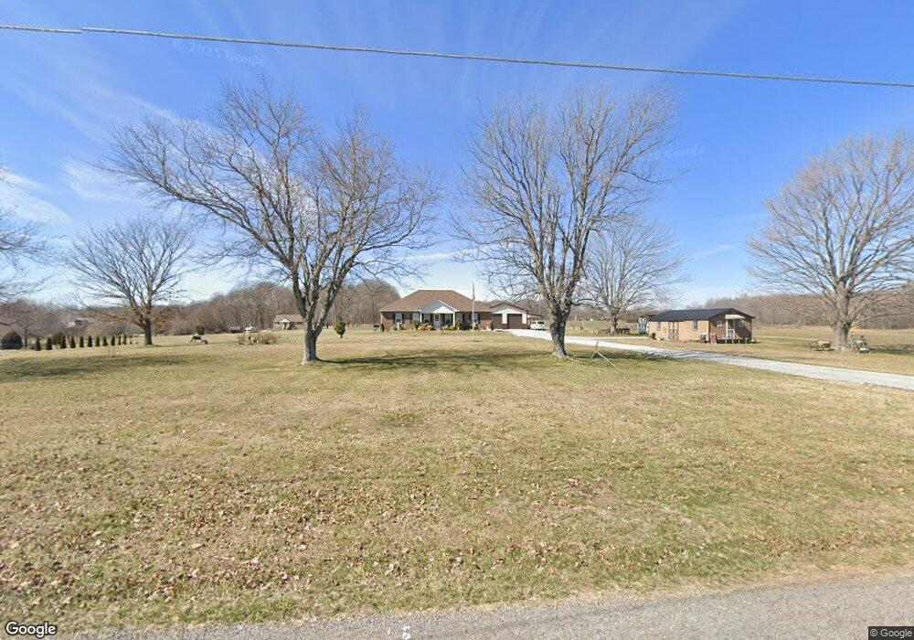
3402 Maxie Jones Rd Springfield, TN 37172
Estimated Value: $468,000 - $1,560,032
Studio
2
Baths
1,944
Sq Ft
$522/Sq Ft
Est. Value
About This Home
This home is located at 3402 Maxie Jones Rd, Springfield, TN 37172 and is currently estimated at $1,014,016, approximately $521 per square foot. 3402 Maxie Jones Rd is a home located in Robertson County with nearby schools including Robert F. Woodall Elementary School, White House Heritage Elementary School, and White House Heritage High School.
Ownership History
Date
Name
Owned For
Owner Type
Purchase Details
Closed on
Jan 4, 2023
Sold by
Hanley Cathy Jo
Bought by
Broadrick Dale
Current Estimated Value
Purchase Details
Closed on
Oct 25, 2022
Sold by
Yates Janice M
Bought by
Converse Jerome M
Purchase Details
Closed on
Jan 4, 1967
Bought by
Mims Robert L
Create a Home Valuation Report for This Property
The Home Valuation Report is an in-depth analysis detailing your home's value as well as a comparison with similar homes in the area
Home Values in the Area
Average Home Value in this Area
Purchase History
| Date | Buyer | Sale Price | Title Company |
|---|---|---|---|
| Broadrick Dale | $1,465,600 | -- | |
| Converse Jerome M | -- | -- | |
| Converse Jerome M | -- | -- | |
| Hanley Cathy Jo | -- | -- | |
| Hanley Cathy Jo | -- | None Listed On Document | |
| Yates Janice M | -- | -- | |
| Yates Janice M | -- | None Listed On Document | |
| Mims Robert L | -- | -- |
Source: Public Records
Tax History
| Year | Tax Paid | Tax Assessment Tax Assessment Total Assessment is a certain percentage of the fair market value that is determined by local assessors to be the total taxable value of land and additions on the property. | Land | Improvement |
|---|---|---|---|---|
| 2025 | $391 | $21,725 | $21,725 | $0 |
| 2024 | $391 | $21,725 | $21,725 | $0 |
| 2023 | $391 | $100,250 | $100,250 | $0 |
| 2022 | $430 | $16,700 | $16,700 | $0 |
| 2021 | $430 | $16,700 | $16,700 | $0 |
| 2020 | $430 | $16,700 | $16,700 | $0 |
| 2019 | $430 | $16,700 | $16,700 | $0 |
| 2018 | $430 | $16,700 | $16,700 | $0 |
| 2017 | $396 | $12,850 | $12,850 | $0 |
| 2016 | $1,719 | $12,850 | $12,850 | $0 |
| 2015 | $1,328 | $44,850 | $20,400 | $24,450 |
| 2014 | $1,328 | $44,850 | $20,400 | $24,450 |
Source: Public Records
Map
Nearby Homes
- 102 Pennsylvania Ave
- 7026 Lang Ave
- 7032 Lang Ave
- 2354 Quinn Dr
- 7062 Lang Ave
- 6059 Japonica Ln
- 6065 Japonica Ln
- 5047 Espy Ave
- 7206 Lang Ave
- 5296 Cross Plains Rd
- 6719 Japonica Ln
- 6685 Japonica Ln
- 6675 Japonica Ln
- 2150 Knox Ln
- 6575 Japonica Ln
- 2153 Knox Ln
- 6585 Japonica Ln
- 6595 Japonica Ln
- 6633 Japonica Ln
- 6605 Japonica Ln
- 2 Maxie Jones Rd
- 0 Maxie Jones Rd
- 3392 Maxie Jones Rd
- 47 Maxie Jones Rd
- 3396 Maxie Jones Rd
- 3384 Maxie Jones Rd
- 3390 Maxie Jones Rd
- 3438 Maxie Jones Rd
- 3399 Maxie Jones Rd
- 3376 Maxie Jones Rd
- 3380 Maxie Jones Rd
- 3419 Maxie Jones Rd
- 3356 Maxie Jones Rd
- 3444 Maxie Jones Rd
- 3368 Maxie Jones Rd
- 3445 Maxie Jones Rd
- 3383 Maxie Jones Rd
- 3372 Maxie Jones Rd
- 3379 Maxie Jones Rd
- 3340 Maxie Jones Rd
Your Personal Tour Guide
Ask me questions while you tour the home.