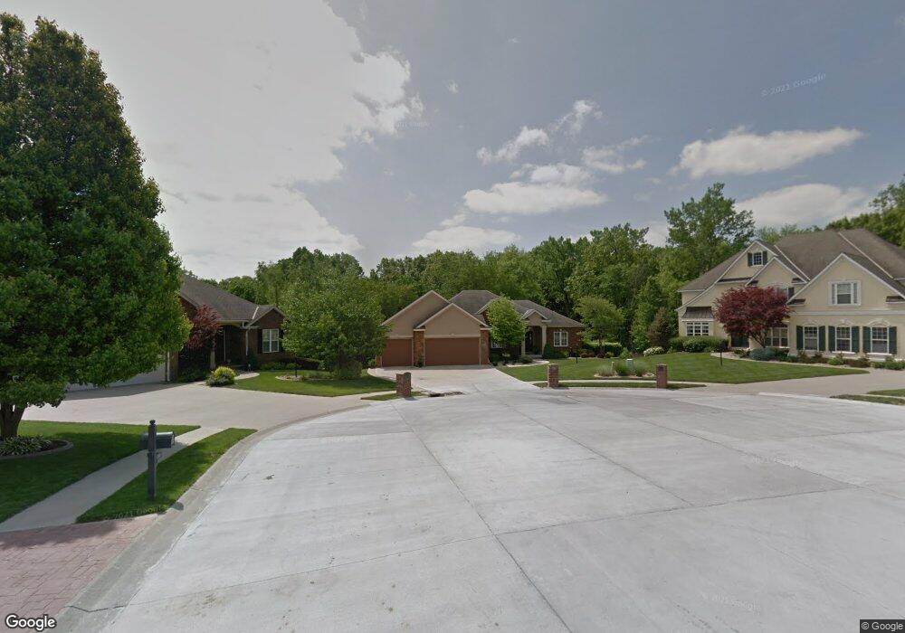
3402 Stanford Ct Saint Joseph, MO 64506
East Saint Joseph NeighborhoodEstimated Value: $423,000 - $501,000
Studio
--
Bath
2,073
Sq Ft
$217/Sq Ft
Est. Value
About This Home
This home is located at 3402 Stanford Ct, Saint Joseph, MO 64506 and is currently estimated at $450,704, approximately $217 per square foot. 3402 Stanford Ct is a home located in Buchanan County with nearby schools including Oak Grove Elementary School, Bode Middle School, and Central High School.
Ownership History
Date
Name
Owned For
Owner Type
Purchase Details
Closed on
Apr 23, 2012
Sold by
Meierhoffer Todd W and Meierhoffer Michelle
Bought by
Meierhoffer Scott M and Meierhoffer Sarah
Current Estimated Value
Home Financials for this Owner
Home Financials are based on the most recent Mortgage that was taken out on this home.
Original Mortgage
$220,000
Outstanding Balance
$151,844
Interest Rate
3.97%
Mortgage Type
FHA
Estimated Equity
$298,861
Purchase Details
Closed on
Jan 4, 2011
Sold by
Meierhoffer Todd and Meierhoffer Michelle
Bought by
Meierhoffer Todd W and Meierhoffer Scott M
Create a Home Valuation Report for This Property
The Home Valuation Report is an in-depth analysis detailing your home's value as well as a comparison with similar homes in the area
Home Values in the Area
Average Home Value in this Area
Purchase History
| Date | Buyer | Sale Price | Title Company |
|---|---|---|---|
| Meierhoffer Scott M | -- | Preferred Title Of St Joseph | |
| Meierhoffer Todd W | -- | St Joseph Title & Abstract C |
Source: Public Records
Mortgage History
| Date | Status | Borrower | Loan Amount |
|---|---|---|---|
| Open | Meierhoffer Scott M | $220,000 |
Source: Public Records
Tax History
| Year | Tax Paid | Tax Assessment Tax Assessment Total Assessment is a certain percentage of the fair market value that is determined by local assessors to be the total taxable value of land and additions on the property. | Land | Improvement |
|---|---|---|---|---|
| 2025 | $3,738 | $53,240 | $8,080 | $45,160 |
| 2024 | $3,516 | $50,090 | $8,080 | $42,010 |
| 2023 | $3,516 | $50,090 | $8,080 | $42,010 |
| 2022 | $3,256 | $50,090 | $8,080 | $42,010 |
| 2021 | $3,270 | $50,090 | $8,080 | $42,010 |
| 2020 | $3,252 | $50,090 | $8,080 | $42,010 |
| 2019 | $3,138 | $50,090 | $8,080 | $42,010 |
| 2018 | $2,828 | $50,090 | $8,080 | $42,010 |
| 2017 | $2,802 | $50,090 | $0 | $0 |
| 2015 | $2,731 | $50,090 | $0 | $0 |
| 2014 | $2,731 | $50,090 | $0 | $0 |
Source: Public Records
Map
Nearby Homes
- 4007 Bennington Dr
- 4303 Leighton Ct
- 0 N Pointe Dr
- 5411 N Pointe Dr
- 5408 N Pointe Dr
- 2 N Pointe Dr
- 5415 N Pointe Dr
- 5418 N Pointe Dr
- 3904 Remington Ct
- 3212 Morton Ln
- 2805 Quail Dr
- 4704 Donnelly Dr
- 4802 Corinth Dr
- 4216 Gene Field Rd
- 4113 Hidden Valley Dr
- 4600 Greystone Dr
- 4109 Hidden Valley Dr
- 2607 Ashmat Ln
- 4514 Alpha Ln
- 2712 N 39th Terrace
- 3401 Stanford Ct
- 3404 Stanford Ct
- 3406 Stanford Ct
- 3403 Stanford Ct
- 3408 Stanford Ct
- 3401 W Devonshire Dr
- 3405 Stanford Ct
- 3309 W Devonshire Dr
- 3403 W Devonshire Dr
- 3407 Stanford Ct
- 3410 Stanford Ct
- 4210 Kensington Dr
- 4208 Kensington Dr
- 3307 W Devonshire Dr
- 4206 Kensington Dr
- 4212 Kensington Dr
- 3409 Stanford Ct
- 4204 Kensington Dr
- 3412 Stanford Ct
- 3305 W Devonshire Dr
Your Personal Tour Guide
Ask me questions while you tour the home.