3402 Whitsetts Fork Rd Glencoe, MO 63038
Estimated Value: $565,239 - $678,000
3
Beds
3
Baths
2,880
Sq Ft
$224/Sq Ft
Est. Value
About This Home
This home is located at 3402 Whitsetts Fork Rd, Glencoe, MO 63038 and is currently estimated at $644,810, approximately $223 per square foot. 3402 Whitsetts Fork Rd is a home located in St. Louis County with nearby schools including Blevins Elementary School, Lasalle Springs Middle School, and Eureka Senior High School.
Ownership History
Date
Name
Owned For
Owner Type
Purchase Details
Closed on
Jun 17, 2011
Sold by
Hurt David E and Hurt Debra A
Bought by
Hurt Debra A and Hurt David E
Current Estimated Value
Home Financials for this Owner
Home Financials are based on the most recent Mortgage that was taken out on this home.
Original Mortgage
$110,000
Interest Rate
4.7%
Mortgage Type
New Conventional
Purchase Details
Closed on
Jul 13, 2007
Sold by
Hurt David E and Hurt Debra A
Bought by
Hurt Debra A and Hurt David E
Purchase Details
Closed on
Jul 29, 2003
Sold by
Hurt David E and Hurt Debra A
Bought by
Hurt David E and Hurt Debra A
Home Financials for this Owner
Home Financials are based on the most recent Mortgage that was taken out on this home.
Original Mortgage
$130,500
Interest Rate
5.51%
Mortgage Type
Purchase Money Mortgage
Create a Home Valuation Report for This Property
The Home Valuation Report is an in-depth analysis detailing your home's value as well as a comparison with similar homes in the area
Home Values in the Area
Average Home Value in this Area
Purchase History
| Date | Buyer | Sale Price | Title Company |
|---|---|---|---|
| Hurt Debra A | -- | Title Partners Agency Llc | |
| Hurt David E | -- | Title Partners Agency Llc | |
| Hurt Debra A | -- | None Available | |
| Hurt David E | -- | None Available | |
| Hurt David E | -- | -- |
Source: Public Records
Mortgage History
| Date | Status | Borrower | Loan Amount |
|---|---|---|---|
| Closed | Hurt David E | $110,000 | |
| Closed | Hurt David E | $130,500 |
Source: Public Records
Tax History Compared to Growth
Tax History
| Year | Tax Paid | Tax Assessment Tax Assessment Total Assessment is a certain percentage of the fair market value that is determined by local assessors to be the total taxable value of land and additions on the property. | Land | Improvement |
|---|---|---|---|---|
| 2025 | $5,530 | $93,340 | $25,330 | $68,010 |
| 2024 | $5,530 | $76,740 | $20,770 | $55,970 |
| 2023 | $5,532 | $76,740 | $20,770 | $55,970 |
| 2022 | $4,964 | $64,190 | $23,050 | $41,140 |
| 2021 | $4,923 | $64,190 | $23,050 | $41,140 |
| 2020 | $4,489 | $56,100 | $20,770 | $35,330 |
| 2019 | $4,504 | $56,100 | $20,770 | $35,330 |
| 2018 | $4,556 | $53,620 | $20,770 | $32,850 |
| 2017 | $4,381 | $53,620 | $20,770 | $32,850 |
| 2016 | $4,148 | $48,830 | $16,210 | $32,620 |
| 2015 | $4,113 | $48,830 | $16,210 | $32,620 |
| 2014 | $3,974 | $46,100 | $13,770 | $32,330 |
Source: Public Records
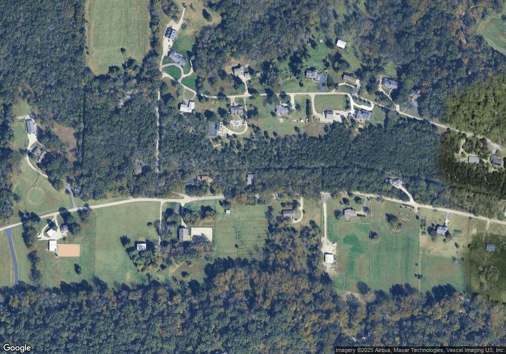
Map
Nearby Homes
- 179 Stonesthrow Dr
- 2166 Old State Rd
- 16501 Meadow Hawk Dr
- 1512 Saint James Place Ct
- 4506 Thunder Ridge Rd
- 205 Meadows of Wildwood Blvd
- 2860 Westridge Oaks Ct
- 1730 Chimney Top Farms Rd
- 17472 Thunder Valley Dr
- 17024 Westridge Oaks Dr
- 28 Thornhill Dr
- 2626 Center Ave
- 2632 Center Ave
- 361 Hunters Spur
- 18244 Buckboard
- 16566 Victoria Crossing Dr Unit L
- 103 Jubilee Hill Dr Unit L
- 16535 Victoria Crossing Dr Unit H
- 2601 East Ave
- 16530 Victoria Crossing Dr Unit I
- 3410 Whitsetts Fork Rd
- 3372 Whitsetts Fork Rd
- 10 Whitsetts Fork Ridge Rd
- 4 Whitsetts Fork Ridge Rd
- 18 Whitsetts Fork Ridge Rd
- 3364 Whitsetts Fork Rd
- 4001 Dartmouth Ridge Ct
- 15 Whitsetts Fork Ridge Rd
- 2109 Whitsetts Fork Ridge Rd
- 4000 Dartmouth Ridge Ct
- 7 Whitsetts Fork Ridge Rd
- 21 Whitsetts Fork Ridge Rd
- 3426 Whitsetts Fork Rd
- 34 Whitsetts Fork Ridge Rd
- 3356 Whitsetts Fork Rd
- 4005 Dartmouth Ridge Ct
- 4004 Dartmouth Ridge Ct
- 4009 Dartmouth Ridge Ct
- 3429 Whitsetts Fork Rd
- 37 Whitsetts Fork Ridge Rd