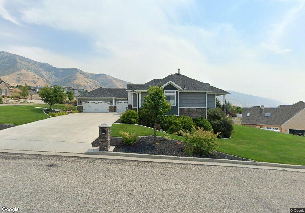
3404 N 1730 E Unit 18 North Logan, UT 84341
Estimated Value: $877,000 - $1,063,000
--
Bed
--
Bath
2,325
Sq Ft
$406/Sq Ft
Est. Value
About This Home
This home is located at 3404 N 1730 E Unit 18, North Logan, UT 84341 and is currently estimated at $942,925, approximately $405 per square foot. 3404 N 1730 E Unit 18 is a home located in Cache County with nearby schools including Greenville School, Cedar Ridge School, and Cedar Ridge Middle School.
Ownership History
Date
Name
Owned For
Owner Type
Purchase Details
Closed on
Apr 23, 2015
Sold by
Peralta Ann Wilson Blanchard and The Ann Wilson Blanchard Peral
Bought by
Briscoe Gordon and Brown Stacey
Current Estimated Value
Purchase Details
Closed on
Apr 17, 2008
Sold by
Peralta Richard Carl and Richard Carl Peralta Living Tr
Bought by
Peralta Ann Wilson Blanchard and Peralta Ann Wilson
Purchase Details
Closed on
May 25, 2007
Sold by
Peralta Richard C and Peralta Ann W
Bought by
Peralta Richard Carl and Richard Carl Peralta Living Tr
Purchase Details
Closed on
Feb 22, 2007
Sold by
M R Development Company Inc
Bought by
Peralta Richard C and Peralta Ann W
Create a Home Valuation Report for This Property
The Home Valuation Report is an in-depth analysis detailing your home's value as well as a comparison with similar homes in the area
Home Values in the Area
Average Home Value in this Area
Purchase History
| Date | Buyer | Sale Price | Title Company |
|---|---|---|---|
| Briscoe Gordon | -- | Northern Title Company | |
| Peralta Ann Wilson Blanchard | -- | None Available | |
| Peralta Richard Carl | -- | None Available | |
| Peralta Richard C | -- | Northern Title Company |
Source: Public Records
Tax History Compared to Growth
Tax History
| Year | Tax Paid | Tax Assessment Tax Assessment Total Assessment is a certain percentage of the fair market value that is determined by local assessors to be the total taxable value of land and additions on the property. | Land | Improvement |
|---|---|---|---|---|
| 2024 | $3,606 | $469,675 | $0 | $0 |
| 2023 | $3,874 | $466,510 | $0 | $0 |
| 2022 | $4,054 | $466,510 | $0 | $0 |
| 2021 | $3,559 | $634,476 | $90,000 | $544,476 |
| 2020 | $3,373 | $563,458 | $90,000 | $473,458 |
| 2019 | $3,531 | $563,457 | $90,000 | $473,457 |
| 2018 | $3,222 | $497,730 | $75,000 | $422,730 |
| 2017 | $3,232 | $262,680 | $0 | $0 |
| 2016 | $3,284 | $75,000 | $0 | $0 |
| 2015 | $941 | $75,000 | $0 | $0 |
| 2014 | $920 | $75,000 | $0 | $0 |
| 2013 | -- | $77,400 | $0 | $0 |
Source: Public Records
Map
Nearby Homes
- 3450 N 1930 E
- 1940 E 3200 N
- 105 E 3100 N
- Scottsford Plan at Lone Cedar
- Westbrook Plan at Lone Cedar
- Vanbrough Plan at Lone Cedar
- Stanton Plan at Lone Cedar
- Ravenstone Plan at Lone Cedar
- Kensington Plan at Lone Cedar
- Edgeworth Plan at Lone Cedar
- Denford Plan at Lone Cedar
- Canyon Plan at Lone Cedar
- Brantwood Plan at Lone Cedar
- 36 S 1000 E Unit 106
- 94 S 950 E
- 17 1100 E Unit 201
- 85 1100 E Unit 214
- 1990 E Canyon Ridge Dr
- 1910 E Canyon Ridge Dr
- 1127 E 130 N Unit 65
- 3387 N 1800 E Unit 19
- 3380 N 1730 E
- 3433 N 1800 E
- 3415 N 1730 E
- 3432 N 1800 E Unit 50
- 3432 N 1800 E Unit 22
- 3377 N 1800 E
- 3377 N 1800 E Unit 20
- 3414 N 1800 E
- 3395 N 1730 E
- 3352 N 1730 E Unit 16
- 3352 N 1730 E
- 3454 N 1800 E
- 3377 N 1730 E
- 1708 E 3450 N
- 1708 Bronco Rd Unit 8
- 3339 N 1800 E Unit 21
- 3355 N 1730 E
- 1831 E 3375 N Unit 37
- 3493 N 1860 Cir E