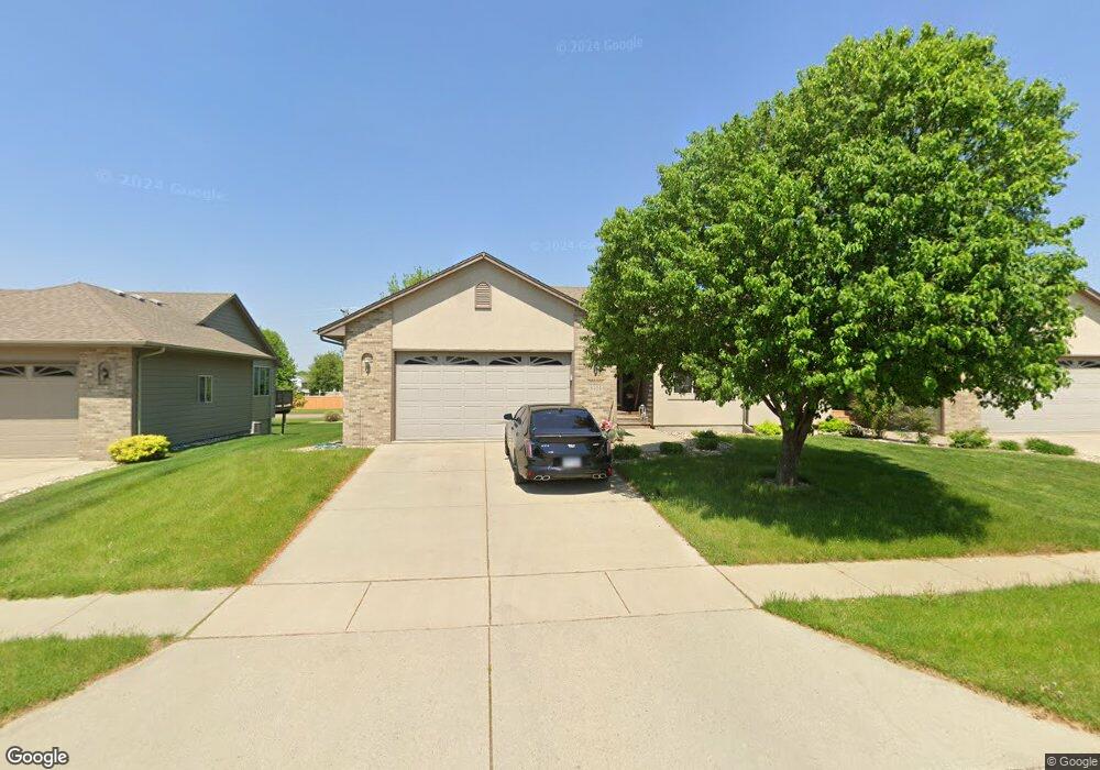
3404 S Harmony Dr Sioux Falls, SD 57110
Southeast Sioux Falls NeighborhoodEstimated Value: $305,000 - $364,000
2
Beds
2
Baths
1,110
Sq Ft
$296/Sq Ft
Est. Value
About This Home
This home is located at 3404 S Harmony Dr, Sioux Falls, SD 57110 and is currently estimated at $328,298, approximately $295 per square foot. 3404 S Harmony Dr is a home located in Minnehaha County with nearby schools including John Harris Elementary School, Washington High School, and Train Up A Child Preschool/Kindergarten.
Ownership History
Date
Name
Owned For
Owner Type
Purchase Details
Closed on
Sep 24, 2019
Sold by
West Natalie and Kinsley Natalie
Bought by
Kinsley Matthew S and Farwell Shayanne N
Current Estimated Value
Home Financials for this Owner
Home Financials are based on the most recent Mortgage that was taken out on this home.
Original Mortgage
$150,598
Outstanding Balance
$131,640
Interest Rate
3.5%
Mortgage Type
New Conventional
Estimated Equity
$196,658
Create a Home Valuation Report for This Property
The Home Valuation Report is an in-depth analysis detailing your home's value as well as a comparison with similar homes in the area
Home Values in the Area
Average Home Value in this Area
Purchase History
| Date | Buyer | Sale Price | Title Company |
|---|---|---|---|
| Kinsley Matthew S | $170,000 | Stewart Title Company |
Source: Public Records
Mortgage History
| Date | Status | Borrower | Loan Amount |
|---|---|---|---|
| Open | Kinsley Matthew S | $150,598 |
Source: Public Records
Tax History
| Year | Tax Paid | Tax Assessment Tax Assessment Total Assessment is a certain percentage of the fair market value that is determined by local assessors to be the total taxable value of land and additions on the property. | Land | Improvement |
|---|---|---|---|---|
| 2024 | $3,418 | $252,300 | $27,200 | $225,100 |
| 2023 | $3,398 | $241,600 | $27,200 | $214,400 |
| 2022 | $3,129 | $209,400 | $27,200 | $182,200 |
| 2021 | $2,785 | $197,700 | $0 | $0 |
| 2020 | $2,785 | $178,600 | $0 | $0 |
| 2019 | $2,923 | $184,573 | $0 | $0 |
| 2018 | $2,624 | $173,349 | $0 | $0 |
| 2017 | $2,461 | $166,247 | $24,225 | $142,022 |
| 2016 | $2,461 | $155,727 | $24,225 | $131,502 |
| 2015 | $3,251 | $154,452 | $22,950 | $131,502 |
| 2014 | $2,315 | $143,196 | $22,883 | $120,313 |
Source: Public Records
Map
Nearby Homes
- 3412 S Harmony Dr
- 3400 S Alpine Ave
- 3415 S Fernwood Ave
- 4917 E 42nd St
- 5012 E Tiger Lilly St
- 3300 S Sundrop Ave
- 4904 E Tiger Lilly St
- 3233 S Manifold Ave
- 4708 E Tiger Lilly St
- 3700 S Mesquite Ave
- 4505 E Kearney Place
- 4504 E Kearney Place
- 4405 E Aster Cir
- 4213 S Orchid Ave
- 5501 E Morningside Cir
- 5504 E Morningside Cir
- 4312 S Alpine Ave
- 3805 S Bedford Ave
- 5508 E Morningside Cir
- 6629 E 49th St
- 3406 S Harmony Dr
- 3408 S Harmony Dr
- 3402 S Harmony Dr
- 3400 S Harmony Dr
- 3410 S Harmony Dr
- 3310 S Harmony Dr
- 3411 S Harmony Dr
- 3300 S Fernwood Ave
- 3308 S Harmony Dr
- 3414 S Harmony Dr
- 3419 S Harmony Dr
- 3308 S Fernwood Ave
- 3228 S Harmony Ct
- 3306 S Harmony Dr
- 3232 S Harmony Ct
- 3301 S Fernwood Ave
- 3224 S Harmony Ct
- 3416 S Harmony Dr
- 3423 S Harmony Dr
- 3304 S Harmony Dr
Your Personal Tour Guide
Ask me questions while you tour the home.