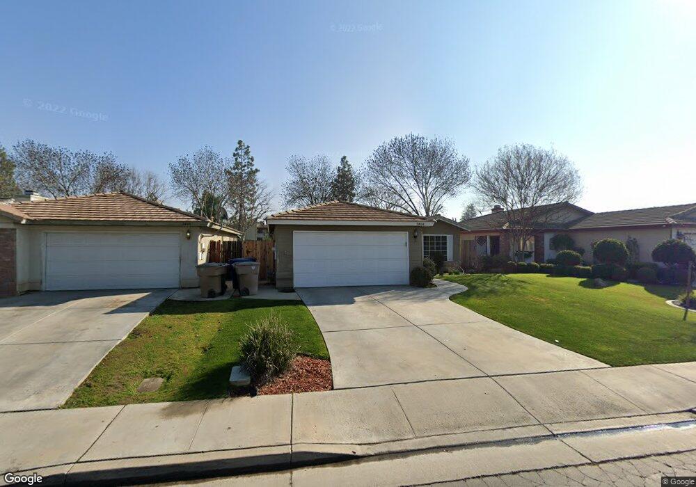
3404 Wenham Dr Bakersfield, CA 93311
The Oaks NeighborhoodEstimated Value: $287,563 - $305,000
2
Beds
2
Baths
996
Sq Ft
$295/Sq Ft
Est. Value
About This Home
This home is located at 3404 Wenham Dr, Bakersfield, CA 93311 and is currently estimated at $294,141, approximately $295 per square foot. 3404 Wenham Dr is a home located in Kern County with nearby schools including Leo B. Hart Elementary School, Tevis Junior High School, and Stockdale High School.
Ownership History
Date
Name
Owned For
Owner Type
Purchase Details
Closed on
Aug 30, 1999
Sold by
Shrum Emma Jean
Bought by
Powers Marla Ann
Current Estimated Value
Home Financials for this Owner
Home Financials are based on the most recent Mortgage that was taken out on this home.
Original Mortgage
$45,000
Outstanding Balance
$13,290
Interest Rate
7.77%
Mortgage Type
Stand Alone First
Estimated Equity
$280,851
Purchase Details
Closed on
Jun 20, 1997
Sold by
Kyle Carter Homes Inc
Bought by
Shrum Emma Jean
Home Financials for this Owner
Home Financials are based on the most recent Mortgage that was taken out on this home.
Original Mortgage
$80,726
Interest Rate
7.92%
Mortgage Type
FHA
Create a Home Valuation Report for This Property
The Home Valuation Report is an in-depth analysis detailing your home's value as well as a comparison with similar homes in the area
Home Values in the Area
Average Home Value in this Area
Purchase History
| Date | Buyer | Sale Price | Title Company |
|---|---|---|---|
| Powers Marla Ann | $71,000 | Fidelity National Title Co | |
| Shrum Emma Jean | $81,000 | American Title Co |
Source: Public Records
Mortgage History
| Date | Status | Borrower | Loan Amount |
|---|---|---|---|
| Open | Powers Marla Ann | $45,000 | |
| Previous Owner | Shrum Emma Jean | $80,726 |
Source: Public Records
Tax History Compared to Growth
Tax History
| Year | Tax Paid | Tax Assessment Tax Assessment Total Assessment is a certain percentage of the fair market value that is determined by local assessors to be the total taxable value of land and additions on the property. | Land | Improvement |
|---|---|---|---|---|
| 2025 | $1,976 | $109,102 | $38,413 | $70,689 |
| 2024 | $1,938 | $106,963 | $37,660 | $69,303 |
| 2023 | $1,938 | $104,867 | $36,922 | $67,945 |
| 2022 | $1,856 | $102,812 | $36,199 | $66,613 |
| 2021 | $1,752 | $100,797 | $35,490 | $65,307 |
| 2020 | $1,709 | $99,765 | $35,127 | $64,638 |
| 2019 | $1,685 | $99,765 | $35,127 | $64,638 |
| 2018 | $1,620 | $95,893 | $33,764 | $62,129 |
| 2017 | $1,596 | $94,013 | $33,102 | $60,911 |
| 2016 | $1,512 | $92,170 | $32,453 | $59,717 |
| 2015 | $1,494 | $90,786 | $31,966 | $58,820 |
| 2014 | $1,457 | $89,008 | $31,340 | $57,668 |
Source: Public Records
Map
Nearby Homes
- 3505 Boswellia Dr
- 3730 Amur Maple Dr
- 3808 Amur Maple Dr
- 8505 Indian Clover Ct
- 3404 Deming Ct
- 7713 Kamloops Dr
- 3405 Raven Oak Ct
- 8416 Crab Apple Ct
- 7812 Cibola Dr
- 8900 Bridlewood Ln
- 7731 Cibola Dr
- 8909 Summer Creek Rd
- 7725 Cibola Dr
- 7512 Lordsburg Dr
- 2600 Brookside Dr Unit 40
- 2600 Brookside Dr Unit 46
- 3113 Loveland Way
- 7321 Alamosa Ln
- 2316 Gosford Rd Unit W
- 9101 Broad Oak Ave
- 3400 Wenham Dr
- 3408 Wenham Dr
- 3322 Wenham Dr
- 3412 Wenham Dr
- 8101 Essex Ct
- 3318 Wenham Dr
- 8102 Newhaven Ct
- 3310 Wenham Dr
- 8105 Essex Ct
- 8106 Newhaven Ct
- 3502 Wenham Dr
- 8100 Essex Ct
- 8203 Essex Ct
- 3314 Wenham Dr
- 8200 Newhaven Ct
- 8104 Essex Ct
- 3506 Wenham Dr
- 3503 Wenham Dr
- 3306 Wenham Dr
- 8204 Newhaven Ct