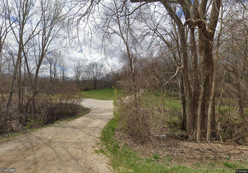
3407 N Latson Rd Howell, MI 48855
Estimated Value: $543,000 - $582,000
3
Beds
4
Baths
2,226
Sq Ft
$250/Sq Ft
Est. Value
About This Home
This home is located at 3407 N Latson Rd, Howell, MI 48855 and is currently estimated at $557,432, approximately $250 per square foot. 3407 N Latson Rd is a home located in Livingston County with nearby schools including Ruahmah J. Hutchings Elementary, Parker Middle School, and Howell High School.
Ownership History
Date
Name
Owned For
Owner Type
Purchase Details
Closed on
Jan 29, 2016
Sold by
Wing Andrew N and Wing Julie A
Bought by
Wing Julie A and Julie A Wing Revocable Trust
Current Estimated Value
Purchase Details
Closed on
May 28, 2002
Sold by
Adiska Tara May and Hammes John
Bought by
Kind Timothy R and Kind Paula J
Purchase Details
Closed on
Apr 12, 2002
Sold by
Kind Timothy R and Kind Paula J
Bought by
Wing Andrew N and Wing Julie A
Create a Home Valuation Report for This Property
The Home Valuation Report is an in-depth analysis detailing your home's value as well as a comparison with similar homes in the area
Home Values in the Area
Average Home Value in this Area
Purchase History
| Date | Buyer | Sale Price | Title Company |
|---|---|---|---|
| Wing Julie A | -- | None Available | |
| Kind Timothy R | $262,000 | Select Title | |
| Wing Andrew N | $343,000 | Metropolitan Title Company |
Source: Public Records
Tax History Compared to Growth
Tax History
| Year | Tax Paid | Tax Assessment Tax Assessment Total Assessment is a certain percentage of the fair market value that is determined by local assessors to be the total taxable value of land and additions on the property. | Land | Improvement |
|---|---|---|---|---|
| 2025 | $3,926 | $265,600 | $0 | $0 |
| 2024 | $2,522 | $251,300 | $0 | $0 |
| 2023 | $2,408 | $228,300 | $0 | $0 |
| 2022 | $3,375 | $188,300 | $0 | $0 |
| 2021 | $3,375 | $197,900 | $0 | $0 |
| 2020 | $3,375 | $188,300 | $0 | $0 |
| 2019 | $3,327 | $168,100 | $0 | $0 |
| 2018 | $3,289 | $164,700 | $0 | $0 |
| 2017 | $3,243 | $162,000 | $0 | $0 |
| 2016 | $3,225 | $155,900 | $0 | $0 |
| 2014 | $3,102 | $133,100 | $0 | $0 |
| 2012 | $3,102 | $127,500 | $0 | $0 |
Source: Public Records
Map
Nearby Homes
- 0 Eager Unit 289246
- 2381 N Hughes Rd
- 1815 Gulley Rd
- 4059 Ash Tree Ln
- The Bloomington Plan at Broadmoor
- The Charlotte Plan at Broadmoor
- The Harrison Plan at Broadmoor
- The Austin Plan at Broadmoor
- The Columbia Plan at Broadmoor
- 607 Cannonade Loop
- 4566 E Clyde Rd
- 475 Cannonade Loop
- 559 Cannonade Loop
- 487 Cannonade Loop
- 507 Cannonade Loop
- 458 Cannonade Loop
- 530 Cannonade Loop
- 5849 Whispering Oaks Dr
- 3765 Silver Charm Ln
- 2511 Kerria Dr Unit 42
- 3471 N Latson Rd
- 3333 N Latson Rd
- 3145 N Latson Rd
- 3483 N Latson Rd
- 3487 N Latson Rd
- 3919 Brophy Rd
- 3843 Brophy Rd
- 3763 Brophy Rd
- Parcel D N Latson Rd
- 3695 Brophy Rd
- 3680 N Latson Rd
- 3680 N Latson Rd
- 3680 N Latson Rd
- 3680 N Latson Rd
- 3589 Brophy Rd
- 3727 N Latson Rd
- 0 PARC 4B Latson
- 3755 N Latson Rd
- 0 PARC 4A Latson
- 0 PARC B4 Argentine
