341 280th St West Branch, IA 52358
Estimated Value: $502,000 - $682,933
3
Beds
3
Baths
3,114
Sq Ft
$195/Sq Ft
Est. Value
About This Home
This home is located at 341 280th St, West Branch, IA 52358 and is currently estimated at $606,233, approximately $194 per square foot. 341 280th St is a home located in Cedar County with nearby schools including Hoover Elementary School, West Branch Middle School, and West Branch High School.
Ownership History
Date
Name
Owned For
Owner Type
Purchase Details
Closed on
May 3, 2011
Sold by
Lodge Michael T
Bought by
Elizabeth K Shriver Trust
Current Estimated Value
Purchase Details
Closed on
Jun 1, 2010
Sold by
White Robert Alan and White Suphornphit K
Bought by
Elizabeth K Shriver Trust
Create a Home Valuation Report for This Property
The Home Valuation Report is an in-depth analysis detailing your home's value as well as a comparison with similar homes in the area
Home Values in the Area
Average Home Value in this Area
Purchase History
| Date | Buyer | Sale Price | Title Company |
|---|---|---|---|
| Elizabeth K Shriver Trust | $24,000 | None Available | |
| Michael T Lodge Farms Lc | $24,000 | None Available | |
| Elizabeth K Shriver Trust | $375,000 | None Available |
Source: Public Records
Tax History Compared to Growth
Tax History
| Year | Tax Paid | Tax Assessment Tax Assessment Total Assessment is a certain percentage of the fair market value that is determined by local assessors to be the total taxable value of land and additions on the property. | Land | Improvement |
|---|---|---|---|---|
| 2025 | $7,102 | $640,090 | $235,500 | $404,590 |
| 2024 | $7,102 | $577,410 | $152,400 | $425,010 |
| 2023 | $6,680 | $554,580 | $152,400 | $402,180 |
| 2022 | $5,986 | $439,920 | $90,000 | $349,920 |
| 2021 | $5,852 | $439,920 | $90,000 | $349,920 |
| 2020 | $5,694 | $391,040 | $80,000 | $311,040 |
| 2019 | $4,986 | $382,670 | $80,000 | $311,040 |
| 2018 | $4,640 | $363,530 | $0 | $0 |
| 2017 | $4,640 | $326,350 | $0 | $0 |
| 2016 | $4,598 | $326,350 | $0 | $0 |
| 2015 | $4,646 | $326,350 | $0 | $0 |
| 2014 | $4,646 | $329,040 | $0 | $0 |
Source: Public Records
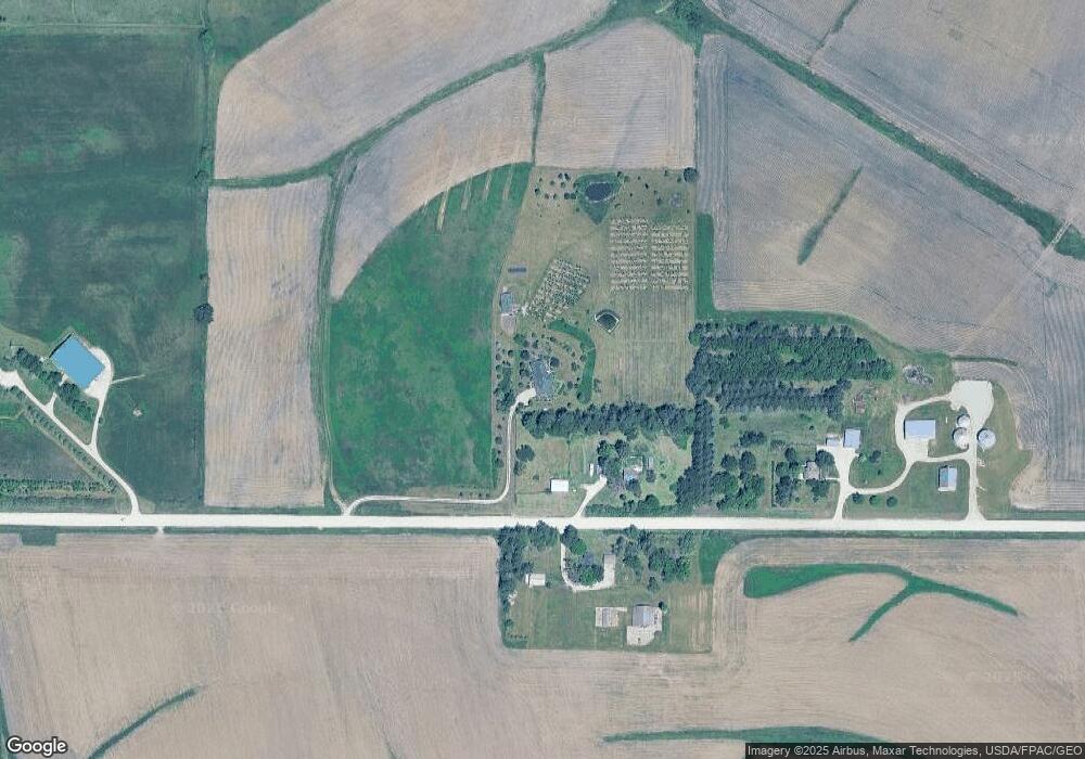
Map
Nearby Homes
- 325 Elm St
- T.B.D. 275th St
- 1908 Charles Ave Lot 2
- 1912 Charles Ave Lot 3
- 1924 Charles Ave Lot 6
- 1928 Charles Ave Lot 7
- 1932 Charles Ave Lot 8
- 168 290th St
- 1904 Charles Ave
- 557 N 4th St
- 521 N 4th St Unit Louise Court Condos
- 63 Eisenhower St Unit GB63
- 12 Bradley Ln Unit AB12
- 27 Bradley Ln Unit AC27
- 3 Grant St Unit GR3
- 33 Lou Henry Ln Unit AM33
- 35 Lou Henry Ln Unit AM35
- 121 Northridge Dr Unit 121-139
- 426 N 1st St
- 110 Northside Dr
- 343 280th St
- Lot 3 The Meadows
- Lot 2 The Meadows
- Lot 1 The Meadows
- Outlot G Pedersen Valley Pt 5
- Lot 88 Pedersen Valley Pt 5
- Lot 86 Pedersen Valley Pt 5
- 920 Dawson Dr
- 342 280th St
- 357 280th St
- 339 280th St
- 1786 Delta Ave
- 1778 Delta Ave
- 1776 Delta Ave
- 1748 Delta Ave
- 321 Elm St
- 327 Elm St
- 329 Elm St
- 331 Elm St
- 1815 Delta Ave