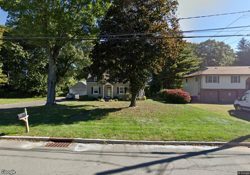
341 Clough Rd Waterbury, CT 06708
Bunker Hill NeighborhoodEstimated Value: $304,679 - $352,000
3
Beds
1
Bath
1,313
Sq Ft
$252/Sq Ft
Est. Value
About This Home
This home is located at 341 Clough Rd, Waterbury, CT 06708 and is currently estimated at $331,420, approximately $252 per square foot. 341 Clough Rd is a home located in New Haven County with nearby schools including Carrington Elementary School, Wilby High School, and Blessed Sacrament Catholic Day School.
Ownership History
Date
Name
Owned For
Owner Type
Purchase Details
Closed on
Jan 10, 2018
Sold by
Desanto Paul R and Desanto Beverly A
Bought by
Desanto Dana M and Desanto Mark P
Current Estimated Value
Purchase Details
Closed on
Jan 1, 1974
Bought by
Desanto Paul R and Desanto Beverly A
Create a Home Valuation Report for This Property
The Home Valuation Report is an in-depth analysis detailing your home's value as well as a comparison with similar homes in the area
Home Values in the Area
Average Home Value in this Area
Purchase History
| Date | Buyer | Sale Price | Title Company |
|---|---|---|---|
| Desanto Dana M | -- | -- | |
| Desanto Paul R | $32,000 | -- |
Source: Public Records
Mortgage History
| Date | Status | Borrower | Loan Amount |
|---|---|---|---|
| Previous Owner | Desanto Paul R | $100,000 | |
| Previous Owner | Desanto Paul R | $100,000 | |
| Previous Owner | Desanto Paul R | $86,800 | |
| Previous Owner | Desanto Paul R | $87,000 |
Source: Public Records
Tax History Compared to Growth
Tax History
| Year | Tax Paid | Tax Assessment Tax Assessment Total Assessment is a certain percentage of the fair market value that is determined by local assessors to be the total taxable value of land and additions on the property. | Land | Improvement |
|---|---|---|---|---|
| 2025 | $5,730 | $127,400 | $23,170 | $104,230 |
| 2024 | $6,299 | $127,400 | $23,170 | $104,230 |
| 2023 | $6,904 | $127,400 | $23,170 | $104,230 |
| 2022 | $4,642 | $77,100 | $23,230 | $53,870 |
| 2021 | $4,642 | $77,100 | $23,230 | $53,870 |
| 2020 | $4,642 | $77,100 | $23,230 | $53,870 |
| 2019 | $4,642 | $77,100 | $23,230 | $53,870 |
| 2018 | $4,642 | $77,100 | $23,230 | $53,870 |
| 2017 | $5,146 | $85,470 | $23,220 | $62,250 |
| 2016 | $5,146 | $85,470 | $23,220 | $62,250 |
| 2015 | $4,976 | $85,470 | $23,220 | $62,250 |
| 2014 | $4,976 | $85,470 | $23,220 | $62,250 |
Source: Public Records
Map
Nearby Homes
- 76 Kenmore Ave
- 208 Kendall Cir
- 241 White Birch Dr
- 62 Haddad Rd
- 134 Heritage Dr
- 51 Haddad Rd
- 32 Clough Rd
- 278 Georgetown Dr
- 28 Gaylord Glen
- 91 Devonwood Dr
- 859 Bunker Hill Ave
- 640 Bunker Hill Ave
- 00 Bunker Hill Ave
- 00 Gaylord Glen
- 385 Gaylord Dr
- 310 Parklawn Dr
- 604 Lakeside Blvd W
- 112 Delaware Ave
- 107 Angel Dr Unit B
- 124 Plainfield Dr
- 347 Clough Rd
- 311 Clough Rd
- 357 Clough Rd
- 369 Clough Rd
- 301 Clough Rd
- 66 Oak Hollow Dr
- 82 Oak Hollow Dr
- 197 Pinecrest Dr
- 74 Oak Hollow Dr
- 184 Pinecrest Dr
- 90 Oak Hollow Dr
- 58 Oak Hollow Dr
- 183 Pinecrest Dr
- 98 Oak Hollow Dr
- 63 Oak Hollow Dr
- 50 Oak Hollow Dr
- 73 Oak Hollow Dr
- 168 Pinecrest Dr
- 51 Oak Hollow Dr
- 177 Pinecrest Dr