341 Crowells Bog Rd Brewster, MA 02631
Estimated Value: $954,000 - $1,275,000
3
Beds
3
Baths
1,881
Sq Ft
$559/Sq Ft
Est. Value
About This Home
This home is located at 341 Crowells Bog Rd, Brewster, MA 02631 and is currently estimated at $1,051,240, approximately $558 per square foot. 341 Crowells Bog Rd is a home located in Barnstable County with nearby schools including Nauset Regional Middle School, Nauset Regional High School, and The Laurel School.
Ownership History
Date
Name
Owned For
Owner Type
Purchase Details
Closed on
Jun 12, 2006
Sold by
Yaffa Catherine M and Yaffa Leo J
Bought by
Leo James Yaffa Ret
Current Estimated Value
Purchase Details
Closed on
Jan 29, 1999
Sold by
Savage Mary C
Bought by
Yaffa Leo J and Yaffa Catherine M
Purchase Details
Closed on
Aug 12, 1993
Sold by
Sykes Peter M
Bought by
Savage Mary C
Home Financials for this Owner
Home Financials are based on the most recent Mortgage that was taken out on this home.
Original Mortgage
$40,000
Interest Rate
7.16%
Mortgage Type
Purchase Money Mortgage
Create a Home Valuation Report for This Property
The Home Valuation Report is an in-depth analysis detailing your home's value as well as a comparison with similar homes in the area
Home Values in the Area
Average Home Value in this Area
Purchase History
| Date | Buyer | Sale Price | Title Company |
|---|---|---|---|
| Leo James Yaffa Ret | -- | -- | |
| Yaffa Leo J | $270,000 | -- | |
| Savage Mary C | $90,000 | -- |
Source: Public Records
Mortgage History
| Date | Status | Borrower | Loan Amount |
|---|---|---|---|
| Previous Owner | Savage Mary C | $40,000 |
Source: Public Records
Tax History Compared to Growth
Tax History
| Year | Tax Paid | Tax Assessment Tax Assessment Total Assessment is a certain percentage of the fair market value that is determined by local assessors to be the total taxable value of land and additions on the property. | Land | Improvement |
|---|---|---|---|---|
| 2025 | $7,045 | $1,024,000 | $383,900 | $640,100 |
| 2024 | $6,634 | $974,200 | $362,200 | $612,000 |
| 2023 | $6,088 | $870,900 | $323,300 | $547,600 |
| 2022 | $5,756 | $733,200 | $269,300 | $463,900 |
| 2021 | $5,486 | $639,400 | $234,100 | $405,300 |
| 2020 | $5,389 | $625,200 | $234,100 | $391,100 |
| 2019 | $5,250 | $602,500 | $225,300 | $377,200 |
| 2018 | $4,892 | $592,200 | $225,300 | $366,900 |
| 2017 | $4,768 | $568,300 | $225,300 | $343,000 |
| 2016 | $4,368 | $518,200 | $221,000 | $297,200 |
| 2015 | $4,186 | $506,800 | $216,600 | $290,200 |
Source: Public Records
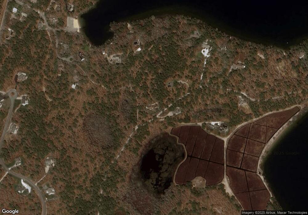
Map
Nearby Homes
- 52 Bettys Ln
- 728 Great Fields Rd
- 30 Fox Crossing Rd
- 597 Great Fields Rd
- 14 2nd St
- 33 Captain William Arthur Rd
- 16 Long Pond Dr
- 13 Harwich Pines
- 309 Great Fields Rd
- 120 Red Maple Rd
- 958 Long Pond Rd
- 3 Stephen Hopkins Rd
- 55 Leona Terrace
- 43 Billington Ln
- 43 Billington Ln Unit 43
- 6 Cora Nickerson Rd
- 3 Bentley Rd
- 0 Storrow Dr
- 358 Crowells Bog Rd
- 365 Crowells Bog Rd
- 65 Storrow Dr
- 91 Storrow Dr
- 91 Storrow Dr Unit 10
- 316 Crowells Bog Rd
- 371 Crowells Bog Rd
- 0 Jollys Crossing Rd Unit 73022090
- 56 Jollys Crossing Rd
- 56 Jollys Crossing Rd
- 120 Storrow Dr
- 59 Jollys Crossing Rd
- 410 Crowells Bog Rd
- 385 Crowells Bog Rd
- 397 Crowells Bog Rd
- 24 Jollys Crossing Rd
- 11 Jollys Crossing Rd
- 421 Crowells Bog Rd