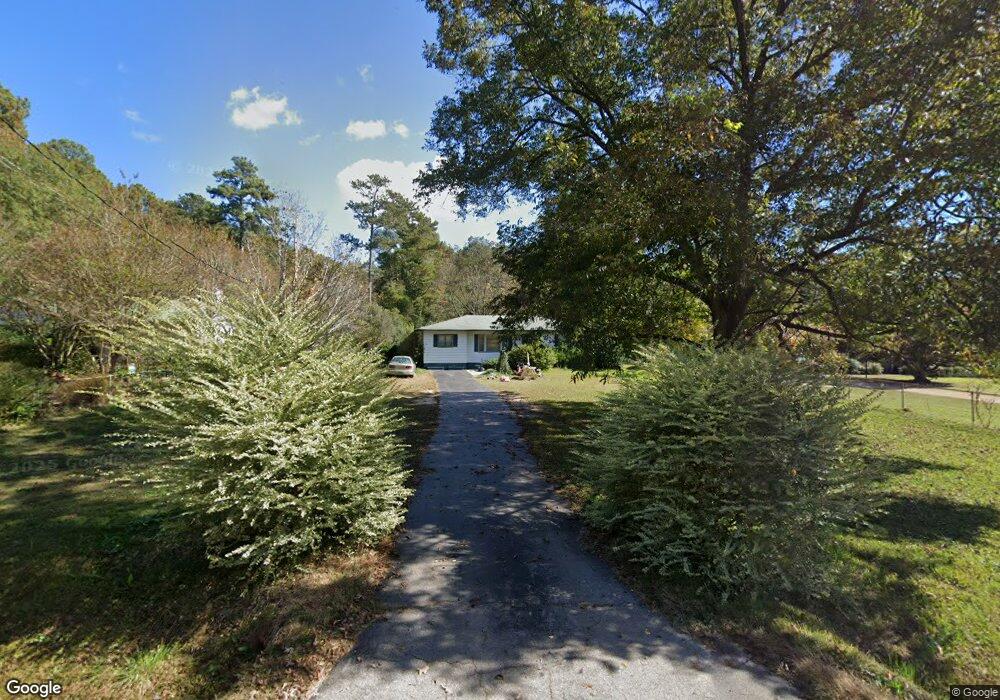
341 Fling Rd Lagrange, GA 30240
Estimated Value: $153,000 - $183,000
3
Beds
2
Baths
1,237
Sq Ft
$137/Sq Ft
Est. Value
About This Home
This home is located at 341 Fling Rd, Lagrange, GA 30240 and is currently estimated at $169,046, approximately $136 per square foot. 341 Fling Rd is a home located in Troup County with nearby schools including Berta Weathersbee Elementary School, Long Cane Elementary School, and Whitesville Road Elementary School.
Ownership History
Date
Name
Owned For
Owner Type
Purchase Details
Closed on
Jul 30, 2021
Sold by
Teaver Charles Edward
Bought by
Teaver Robert Allen
Current Estimated Value
Purchase Details
Closed on
Jun 27, 1996
Sold by
Teaver C E
Bought by
Teaver Teaver C and Teaver Faye
Purchase Details
Closed on
Jan 1, 1958
Sold by
Mrs Murriel H Teaver
Bought by
Teaver C E
Create a Home Valuation Report for This Property
The Home Valuation Report is an in-depth analysis detailing your home's value as well as a comparison with similar homes in the area
Purchase History
| Date | Buyer | Sale Price | Title Company |
|---|---|---|---|
| Teaver Robert Allen | -- | -- | |
| Teaver Charles Edward | -- | -- | |
| Teaver Teaver C | -- | -- | |
| Teaver C E | -- | -- |
Source: Public Records
Tax History
| Year | Tax Paid | Tax Assessment Tax Assessment Total Assessment is a certain percentage of the fair market value that is determined by local assessors to be the total taxable value of land and additions on the property. | Land | Improvement |
|---|---|---|---|---|
| 2025 | $465 | $49,600 | $10,000 | $39,600 |
| 2024 | $296 | $39,720 | $10,000 | $29,720 |
| 2023 | $1,078 | $39,520 | $10,000 | $29,520 |
| 2022 | $1,063 | $38,080 | $10,000 | $28,080 |
| 2021 | $693 | $30,720 | $10,000 | $20,720 |
| 2020 | $693 | $30,720 | $10,000 | $20,720 |
| 2019 | $472 | $23,408 | $4,288 | $19,120 |
| 2018 | $420 | $21,688 | $4,288 | $17,400 |
| 2017 | $420 | $21,688 | $4,288 | $17,400 |
| 2016 | $402 | $21,076 | $4,288 | $16,788 |
| 2015 | $402 | $21,076 | $4,288 | $16,788 |
| 2014 | $375 | $20,192 | $4,288 | $15,904 |
| 2013 | -- | $21,351 | $4,288 | $17,063 |
Source: Public Records
Map
Nearby Homes
- 427 Fling Rd
- 8 Horace Carter Rd
- 509 Connie Dr
- 0 Bradfield Dr Unit 10568803
- 808 S Fling Rd
- 2239 Pegasus Pkwy
- 336 Whitaker Rd
- 124 Foxdale Dr
- 3 Reed Dr
- 112 Foxdale Dr
- 0 Glass Bridge Rd Unit 10679358
- 117 Brookwood Dr
- 0 Unit 10514554
- 120 Huntington Dr
- 104 Spring Valley Dr
- 200 Cheyenne Dr
- 22 Freeman Rd
- 135 Planters Ridge Dr
- 266 Glass Bridge Rd
- 203 Shawnee Dr
Your Personal Tour Guide
Ask me questions while you tour the home.