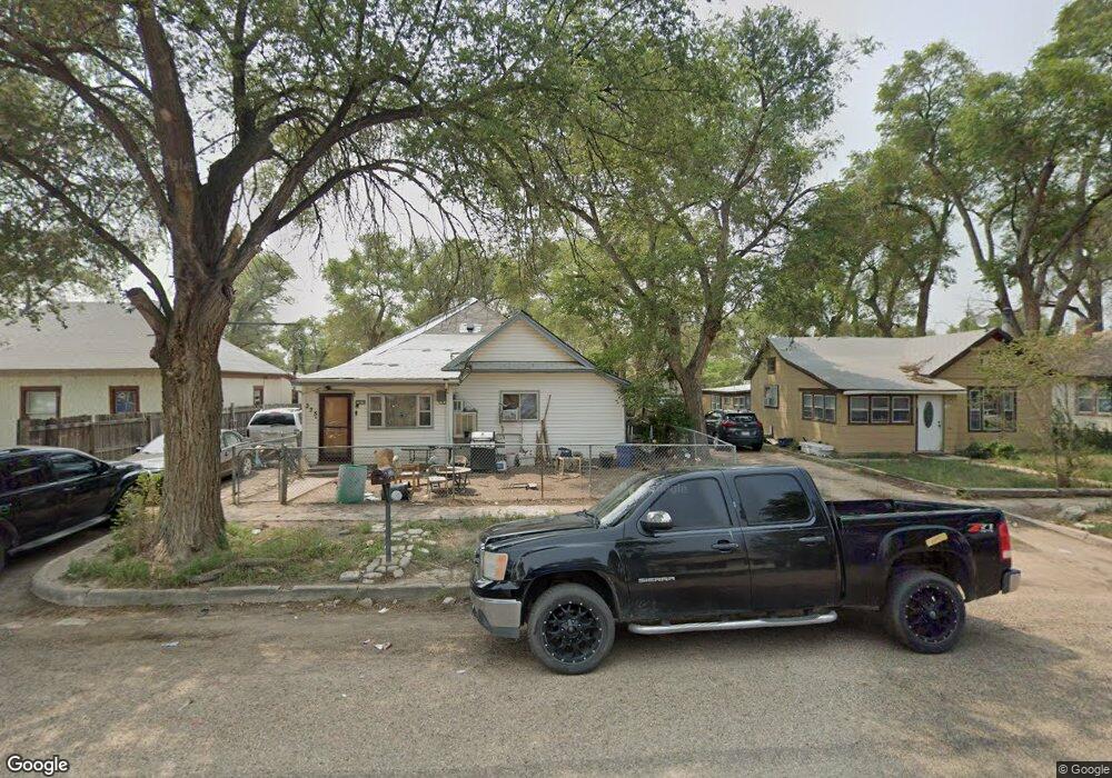
341 Locust Ave Las Animas, CO 81054
Estimated Value: $64,535 - $103,000
3
Beds
1
Bath
1,731
Sq Ft
$53/Sq Ft
Est. Value
About This Home
This home is located at 341 Locust Ave, Las Animas, CO 81054 and is currently estimated at $91,384, approximately $52 per square foot. 341 Locust Ave is a home located in Bent County with nearby schools including Las Animas Elementary School, Las Animas Junior High School, and Las Animas High School.
Ownership History
Date
Name
Owned For
Owner Type
Purchase Details
Closed on
Apr 20, 2011
Sold by
Legacy Bank
Bought by
Grubbs Carol
Current Estimated Value
Home Financials for this Owner
Home Financials are based on the most recent Mortgage that was taken out on this home.
Original Mortgage
$40,000
Outstanding Balance
$15,326
Interest Rate
4.91%
Mortgage Type
Future Advance Clause Open End Mortgage
Estimated Equity
$76,058
Purchase Details
Closed on
Mar 10, 2011
Sold by
Morales Louis J and Morales Louis J
Bought by
Legacy Bank
Home Financials for this Owner
Home Financials are based on the most recent Mortgage that was taken out on this home.
Original Mortgage
$40,000
Outstanding Balance
$15,326
Interest Rate
4.91%
Mortgage Type
Future Advance Clause Open End Mortgage
Estimated Equity
$76,058
Create a Home Valuation Report for This Property
The Home Valuation Report is an in-depth analysis detailing your home's value as well as a comparison with similar homes in the area
Purchase History
| Date | Buyer | Sale Price | Title Company |
|---|---|---|---|
| Grubbs Carol | $1,000 | None Available | |
| Legacy Bank | -- | None Available |
Source: Public Records
Mortgage History
| Date | Status | Borrower | Loan Amount |
|---|---|---|---|
| Open | Grubbs Carol | $40,000 |
Source: Public Records
Tax History
| Year | Tax Paid | Tax Assessment Tax Assessment Total Assessment is a certain percentage of the fair market value that is determined by local assessors to be the total taxable value of land and additions on the property. | Land | Improvement |
|---|---|---|---|---|
| 2024 | $120 | $1,000 | $78 | $922 |
| 2023 | $119 | $1,004 | $82 | $922 |
| 2022 | $198 | $3,110 | $240 | $2,870 |
| 2021 | $199 | $1,805 | $200 | $1,605 |
| 2020 | $179 | $1,618 | $200 | $1,418 |
| 2019 | $189 | $1,618 | $200 | $1,418 |
| 2018 | $189 | $1,693 | $202 | $1,491 |
| 2017 | $190 | $1,693 | $202 | $1,491 |
| 2016 | $201 | $1,801 | $223 | $1,578 |
| 2015 | -- | $1,801 | $223 | $1,578 |
| 2014 | -- | $1,801 | $223 | $1,578 |
| 2013 | -- | $1,801 | $223 | $1,578 |
Source: Public Records
Map
Nearby Homes
- 436 Locust Ave
- 509 5th St
- 312 Carson Ave
- 1032 Locust Ave
- 1046 Locust Ave
- 940 Carson Ave
- 621 Carson Ave
- 433 Grove Ave
- 705 Locust Ave
- 220 Vigil Ave
- 426 Poplar Ave
- 18 5th St
- 629 St Vrain Ave
- 651 Ash Ave
- 1103 Ambassador Thompson Blvd
- 626 St Vrain St
- 626 St Vrain Ave
- 535 Moore Ave
- 145 Liberty Ct
- 415 9th St
Your Personal Tour Guide
Ask me questions while you tour the home.