341 N Fork Ray Creek Rd Townsend, MT 59644
Estimated Value: $658,000 - $684,420
2
Beds
3
Baths
1,531
Sq Ft
$438/Sq Ft
Est. Value
About This Home
This home is located at 341 N Fork Ray Creek Rd, Townsend, MT 59644 and is currently estimated at $671,210, approximately $438 per square foot. 341 N Fork Ray Creek Rd is a home located in Broadwater County with nearby schools including Cecelia Hazelton School, Townsend Junior High School, and Broadwater High School.
Ownership History
Date
Name
Owned For
Owner Type
Purchase Details
Closed on
Nov 14, 2014
Sold by
Ahern James R and Ahern Carla J
Bought by
Radcliffe Bob L
Current Estimated Value
Home Financials for this Owner
Home Financials are based on the most recent Mortgage that was taken out on this home.
Original Mortgage
$50,000
Outstanding Balance
$37,392
Interest Rate
3.37%
Mortgage Type
New Conventional
Estimated Equity
$633,818
Purchase Details
Closed on
Aug 1, 2005
Bought by
Radcliffe Bob L
Create a Home Valuation Report for This Property
The Home Valuation Report is an in-depth analysis detailing your home's value as well as a comparison with similar homes in the area
Home Values in the Area
Average Home Value in this Area
Purchase History
| Date | Buyer | Sale Price | Title Company |
|---|---|---|---|
| Radcliffe Bob L | $62,500 | Rocky Mountain Title | |
| Radcliffe Bob L | -- | -- |
Source: Public Records
Mortgage History
| Date | Status | Borrower | Loan Amount |
|---|---|---|---|
| Open | Radcliffe Bob L | $50,000 |
Source: Public Records
Tax History Compared to Growth
Tax History
| Year | Tax Paid | Tax Assessment Tax Assessment Total Assessment is a certain percentage of the fair market value that is determined by local assessors to be the total taxable value of land and additions on the property. | Land | Improvement |
|---|---|---|---|---|
| 2025 | $2,030 | $495,578 | $0 | $0 |
| 2024 | $2,380 | $410,917 | $0 | $0 |
| 2023 | $3,069 | $410,917 | $0 | $0 |
| 2022 | $2,605 | $295,123 | $0 | $0 |
| 2021 | $2,331 | $295,123 | $0 | $0 |
| 2020 | $2,190 | $251,537 | $0 | $0 |
| 2019 | $1,937 | $251,537 | $0 | $0 |
| 2018 | $1,936 | $244,133 | $0 | $0 |
| 2017 | $1,738 | $244,133 | $0 | $0 |
| 2016 | $1,618 | $207,483 | $0 | $0 |
| 2015 | $1,512 | $207,483 | $0 | $0 |
| 2014 | $1,481 | $122,262 | $0 | $0 |
Source: Public Records
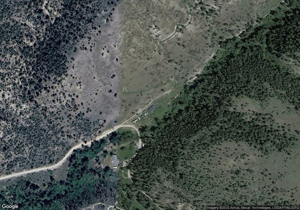
Map
Nearby Homes
- 83 Big Country Dr
- 222 S Fork Ray Creek Rd Unit LotWP001
- 222 S Fork Ray Creek Rd
- TBD Silver Sage Rd
- 772 U S 12
- TBD Hwy 12 E
- 185 Cottonwood Rd
- 182 Cottonwood Rd
- TBD LOT 12 Fritsche Ln
- TBD Skyview Ln
- 1146 Us Highway 12 E
- 120 Lower Ray Creek Rd
- 33 Windy Meadow Dr
- 312 Sand Hill Ln
- 71 Fritsche Ln
- Lot 12 Fritsche Ln
- TBD Lot 10 Fritsche Ln
- TBD Lot 7 Fritsche Ln
- TBD Lot 6 Fritsche Ln
- TBD Lot 3 Fritsche Ln
- 330 N Fork Ray Creek Rd
- 6 Big Country Dr
- 650 Ray Creek Rd
- 518 Ray Creek Rd
- Lot 1A-9 T Dimanche
- Lot1A- 14 Dimanche
- Lot1A- 13 Dimanche
- Lot 17-A Dimanchi Trail Savane Estates
- Lot 19 Dimanchi Trail
- 64 Dimanche Dr
- TBD Dimanche Dr
- Lot 20 Dimanchi
- Lot 1a-18 Savane Estate
- Lot 18 Dimanchi Trail
- TBD Tbd South Fork Ray Creek Rd
- TBD S Fork Ray Creek Rd
- Lot 17 Dimanchi Trail
- 45 Dimanche Dr
- Lot 16 Dimanchi Trail
- 464 Ray Creek Rd