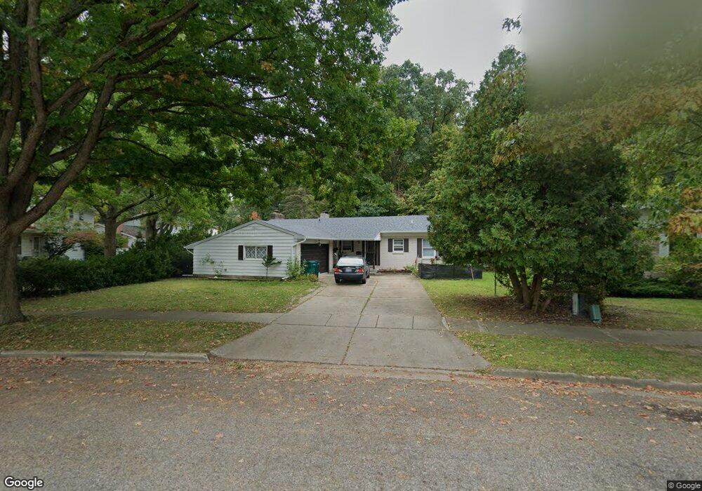
3411 Gingersnap Ln Lansing, MI 48911
Averill Woods NeighborhoodEstimated Value: $233,000 - $265,000
3
Beds
3
Baths
1,736
Sq Ft
$145/Sq Ft
Est. Value
About This Home
This home is located at 3411 Gingersnap Ln, Lansing, MI 48911 and is currently estimated at $250,871, approximately $144 per square foot. 3411 Gingersnap Ln is a home located in Ingham County with nearby schools including Averill Elementary School, Attwood School, and J.W. Sexton High School.
Ownership History
Date
Name
Owned For
Owner Type
Purchase Details
Closed on
Aug 20, 2001
Sold by
Albery Paul F and Albery Mary W
Bought by
Vang Youa Bee and Thao Khou
Current Estimated Value
Home Financials for this Owner
Home Financials are based on the most recent Mortgage that was taken out on this home.
Original Mortgage
$123,750
Outstanding Balance
$48,133
Interest Rate
7.11%
Mortgage Type
Purchase Money Mortgage
Estimated Equity
$202,738
Create a Home Valuation Report for This Property
The Home Valuation Report is an in-depth analysis detailing your home's value as well as a comparison with similar homes in the area
Home Values in the Area
Average Home Value in this Area
Purchase History
| Date | Buyer | Sale Price | Title Company |
|---|---|---|---|
| Vang Youa Bee | $137,500 | First American Title Ins Co |
Source: Public Records
Mortgage History
| Date | Status | Borrower | Loan Amount |
|---|---|---|---|
| Open | Vang Youa Bee | $123,750 |
Source: Public Records
Tax History Compared to Growth
Tax History
| Year | Tax Paid | Tax Assessment Tax Assessment Total Assessment is a certain percentage of the fair market value that is determined by local assessors to be the total taxable value of land and additions on the property. | Land | Improvement |
|---|---|---|---|---|
| 2025 | $3,836 | $116,400 | $12,400 | $104,000 |
| 2024 | $31 | $111,000 | $12,400 | $98,600 |
| 2023 | $3,595 | $96,300 | $12,400 | $83,900 |
| 2022 | $3,239 | $87,500 | $12,400 | $75,100 |
| 2021 | $3,171 | $80,100 | $11,600 | $68,500 |
| 2020 | $3,152 | $76,700 | $11,600 | $65,100 |
| 2019 | $3,023 | $68,300 | $11,600 | $56,700 |
| 2018 | $2,831 | $61,300 | $11,600 | $49,700 |
| 2017 | $2,711 | $61,300 | $11,600 | $49,700 |
| 2016 | $2,593 | $54,400 | $11,600 | $42,800 |
| 2015 | $2,593 | $49,700 | $23,281 | $26,419 |
| 2014 | $2,593 | $46,400 | $23,281 | $23,119 |
Source: Public Records
Map
Nearby Homes
- 2838 Sunderland Rd
- 3600 Sandhurst Dr
- 3200 Lawdor Rd
- 3510 Christine Dr
- 3700 W Holmes Rd
- 2800 S Waverly Hwy
- 0 S Deerfield Ave
- 4.5 Locust Ln
- 2905 S Catherine St
- 3425 Cooley Dr
- 2710 Bedford Rd
- 2 Locust Ln
- 3212 Ingham St
- 3421 Troon Cir Unit 29
- 3614 Cooley Dr
- 3811 Cooley Dr
- 3334 Ingham St
- 3424 S Catherine St
- 3100 Glenbrook Dr
- 3508 Muirfield Dr
- 3417 Gingersnap Ln
- 2930 Sunderland Rd
- 3000 Sunderland Rd
- 3008 Sunderland Rd
- 3423 Gingersnap Ln
- 3014 Sunderland Rd
- 2918 Sunderland Rd
- 3429 Gingersnap Ln
- 3420 Ginger Snap Ln
- 3420 Gingersnap Ln
- 3020 Sunderland Rd
- 3339 Gingersnap Ln
- 3426 Gingersnap Ln
- 2933 Sunderland Rd
- 3435 Gingersnap Ln
- 2939 Sunderland Rd
- 3026 Sunderland Rd
- 3001 Sunderland Rd
- 3401 Sandhurst Dr
- 3340 Gingersnap Ln