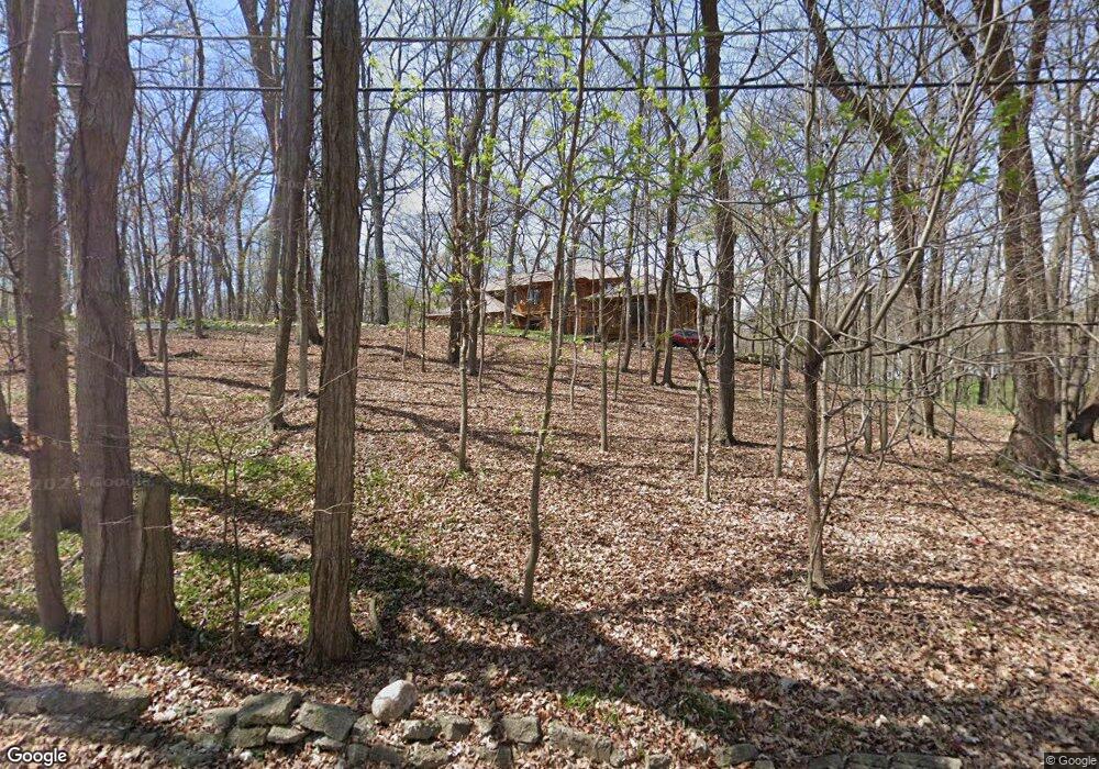
3412 Adams Rd Oak Brook, IL 60523
Estimated Value: $2,015,888 - $2,798,000
4
Beds
6
Baths
5,587
Sq Ft
$437/Sq Ft
Est. Value
About This Home
This home is located at 3412 Adams Rd, Oak Brook, IL 60523 and is currently estimated at $2,441,296, approximately $436 per square foot. 3412 Adams Rd is a home located in DuPage County with nearby schools including Brook Forest Elementary School, Butler Junior High School, and Hinsdale Central High School.
Ownership History
Date
Name
Owned For
Owner Type
Purchase Details
Closed on
Mar 22, 2024
Sold by
Niclaughlin Russell and Niclaughlin Colleen
Bought by
Colleen Piersen Revocable Trust and Piersen
Current Estimated Value
Purchase Details
Closed on
Apr 23, 2007
Sold by
Chicago Title Land Trust Co
Bought by
Mclaughlin Russell and Piersen Colleen
Home Financials for this Owner
Home Financials are based on the most recent Mortgage that was taken out on this home.
Original Mortgage
$1,150,000
Interest Rate
6.18%
Mortgage Type
Purchase Money Mortgage
Create a Home Valuation Report for This Property
The Home Valuation Report is an in-depth analysis detailing your home's value as well as a comparison with similar homes in the area
Home Values in the Area
Average Home Value in this Area
Purchase History
| Date | Buyer | Sale Price | Title Company |
|---|---|---|---|
| Colleen Piersen Revocable Trust | -- | None Listed On Document | |
| Mclaughlin Russell | $1,900,000 | Premier Title |
Source: Public Records
Mortgage History
| Date | Status | Borrower | Loan Amount |
|---|---|---|---|
| Previous Owner | Mclaughlin Russell | $1,150,000 |
Source: Public Records
Tax History
| Year | Tax Paid | Tax Assessment Tax Assessment Total Assessment is a certain percentage of the fair market value that is determined by local assessors to be the total taxable value of land and additions on the property. | Land | Improvement |
|---|---|---|---|---|
| 2024 | $30,917 | $837,393 | $545,469 | $291,924 |
| 2023 | $29,585 | $774,360 | $504,410 | $269,950 |
| 2022 | $27,642 | $744,380 | $484,880 | $259,500 |
| 2021 | $26,411 | $725,870 | $472,820 | $253,050 |
| 2020 | $25,780 | $709,970 | $462,460 | $247,510 |
| 2019 | $24,531 | $675,000 | $439,680 | $235,320 |
| 2018 | $22,233 | $638,970 | $416,210 | $222,760 |
| 2017 | $20,833 | $608,890 | $396,620 | $212,270 |
| 2016 | $20,313 | $573,610 | $373,640 | $199,970 |
| 2015 | $20,050 | $534,390 | $348,090 | $186,300 |
| 2014 | $20,014 | $515,740 | $335,940 | $179,800 |
| 2013 | $19,847 | $523,000 | $340,670 | $182,330 |
Source: Public Records
Map
Nearby Homes
- 20 Natoma Dr
- 15 Templeton Dr
- 3 Templeton Dr
- 3801 Madison St
- 141 Breakenridge Farm
- 401 Glendale Ave
- 6 Pine Hill Ln
- 420 Oak Brook Rd
- 7 Yorkshire Woods (Lot 7) Dr
- 3309 York Rd
- 3504 York Rd
- 3403 York Rd
- 3420 York Rd
- 531 Bonnie Brae Rd
- 910 Saint Stephens Green
- 124 Saint Francis Cir
- 527 W Ogden Ave
- 920 Saint Stephens Green
- 527 Kensington Ct
- 1409 Burr Oak Rd Unit 414A